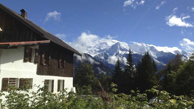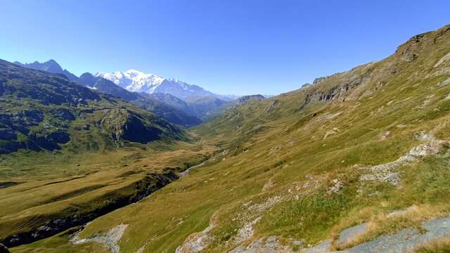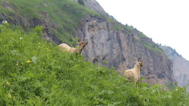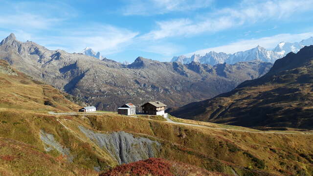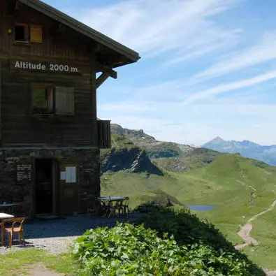
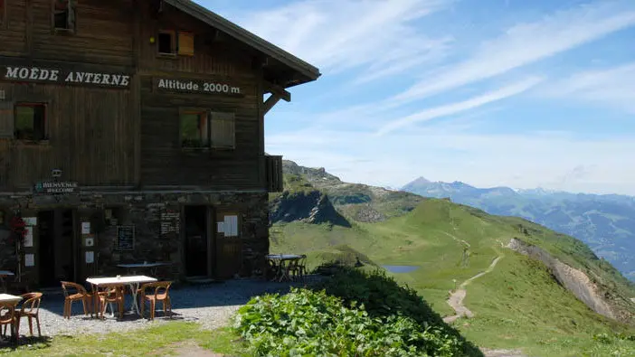
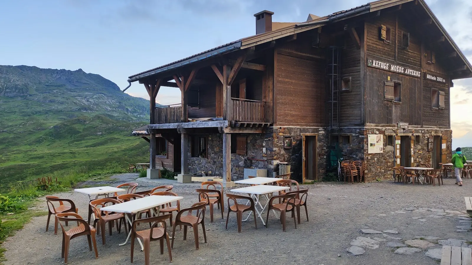
Situated on the Tour des Fiz, the Tour du Pays du Mont Blanc and the Tour des Aiguilles Rouges, the refuge de Moëde offers a stopover overlooking the Mont Blanc range.
The refuge offers basic shelter for hikers, with shared dormitories and rudimentary sanitary facilities. The services provided at the refuge are limited, and one should not expect comfortable amenities. However, the refuge offers a strategic location for hikers wishing to stop off in the area and enjoy the panoramic views. Meals on offer are simple and limited in quantity, in keeping with supply conditions at altitude. Reservations at the refuge are recommended due to limited capacity. All in all, the Moëde Anterne refuge offers basic accommodation for hikers wishing to explore the Tour des Fiz region.
- TipsRefuge on the GR5 route and on the Tour du pays du Mont-Blanc.
Refuge on the GRP Chamonix - Sixt - Vallorcine route.
Summits: Buet - Pointe noire - Brévent
Itinerary from the refuge:
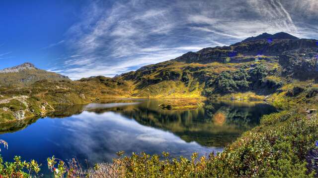
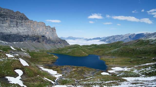
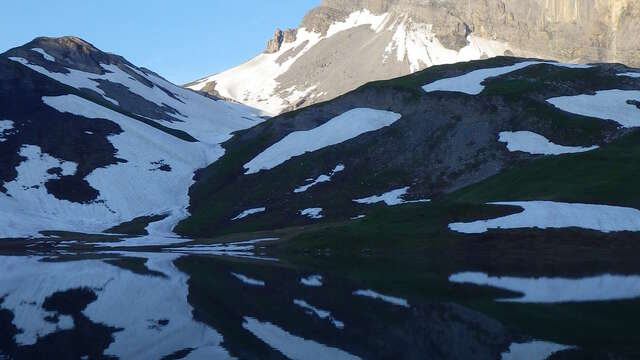
Lac de Pormenaz: half an hour.
Lac d'Anterne: 1h15, 255m ascent.
Chalets de Villy: 1h45, 250m ascent.
Pointe Noire de Pormenaz: 1h15, 320m ascent.
Le Buet via Col de Salenton: 4h30, 1150m ascent.
Le Brévent: 4h, 830m ascent.
Over several days: Tour des Fiz - Tour des Aiguilles Rouges - Traversée Sixt-Chamonix
Services
Restaurant
Terrace
Picnic area
- Activities
- Cycle sports
- Mountain biking
- Water sports
- Pedestrian sports
- Fishing
- Hike on foot
- Amenities
- Bunk beds
- Hot showers
- Pay shower
- Equipment
- Restaurant
- Covered picnic area
- Ski boot drier
- Terrace
- Defibrillator
- Services
- Full-board
- Breakfast
- Luggage porterage
- Half-board
- Restaurant
- Picnic hampers
Accessibility
Not accessible in a wheelchair
Rates
From 10 June 2025 to 1 October 2026
From 10 June 2025 to 1 October 2026
Night
€18.00
Child rate per night
€18.00
Breakfast
€9.50
Breakfast (child)
€9.50
Half board (pp)
€50.00
Half-board (child)
€35.00
Payment methods
 Check
Check Cash
CashCapacity
91 Person(s)
Openings
From 10 June 2026 until 1 October 2026 - Open everyday
Location
Spoken languages
Spoken languages
Environment
Environment
- Mountain location
Access
Access
- Nearest village or station: Plaine-Joux
Walking time from nearest parking lot: approx. 2 hrs 50 mins.
From the summit of Le Brévent (Chamonix), 1000 m descent to the Pont d'Arlevé (via the Col du Brévent), then 500 m ascent through the mountain pastures to the refuge. 3h30. Horseback, donkey, mountain bike and joëlette riding available.
Coach parking at Plaine-Joux.
- IGN maps: 3530 ET - TOP 25