With its source in the Voirons massif, the Foron is a waterway which crosses the Annemasse region from end to end. It crosses wet zones, agricultural plains, meadows, villages and also cities.
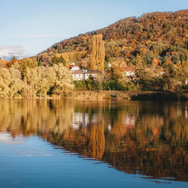
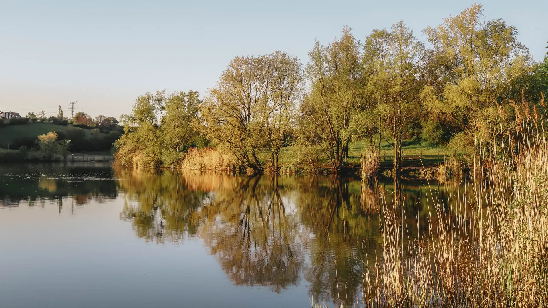
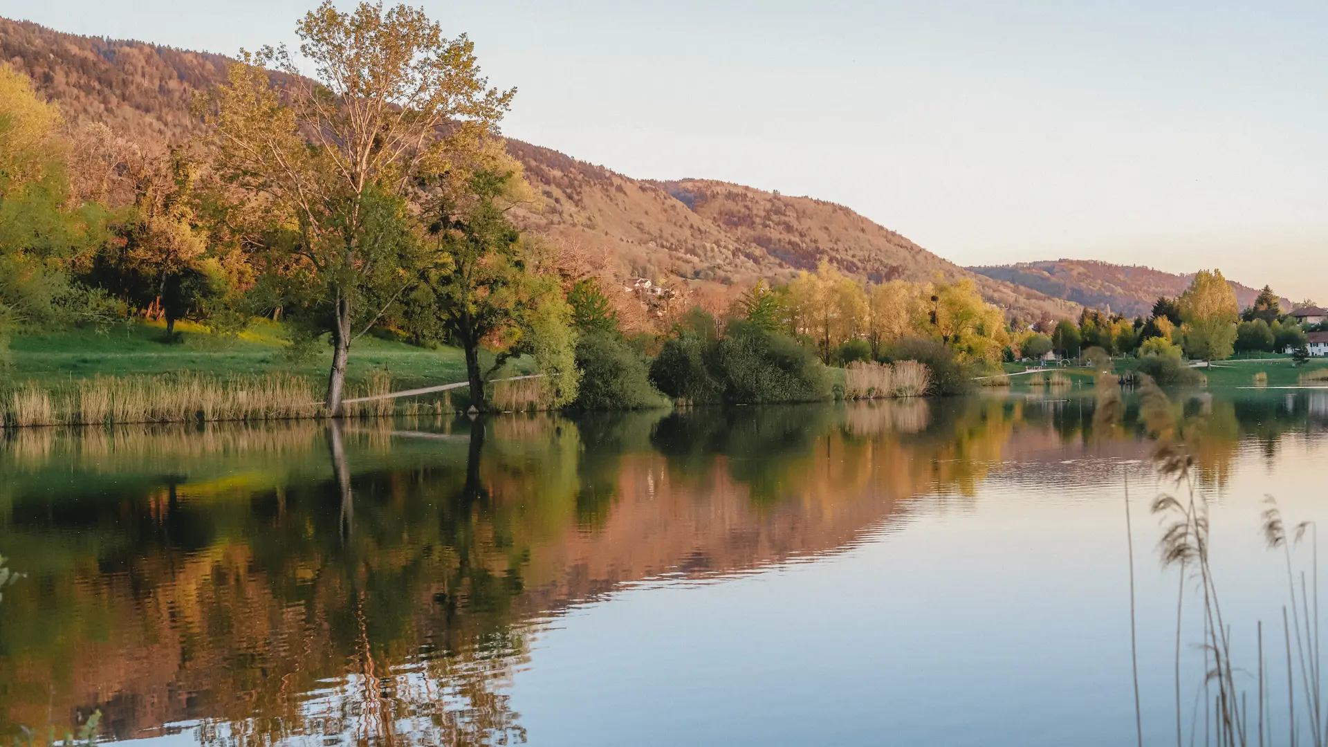
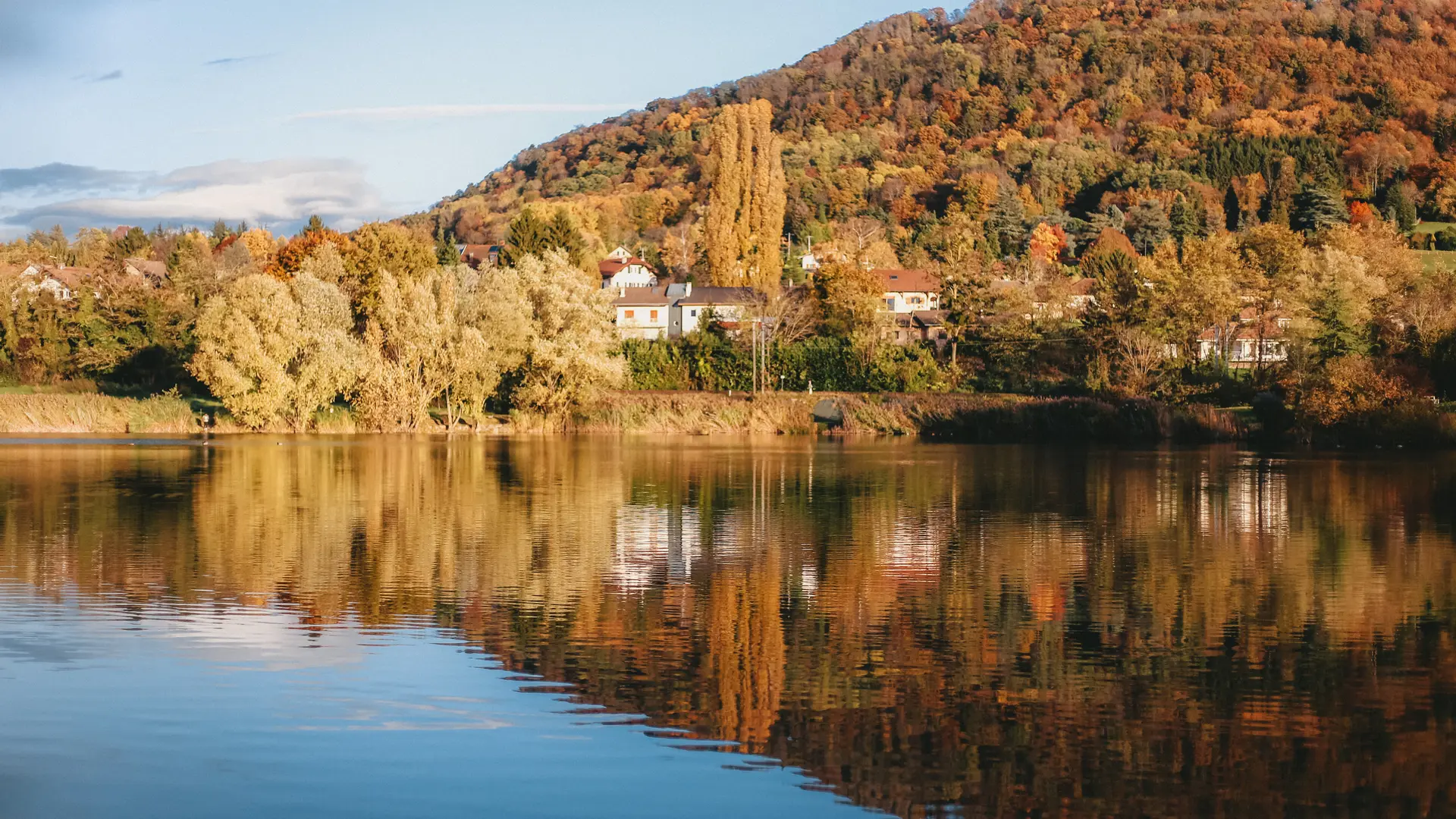
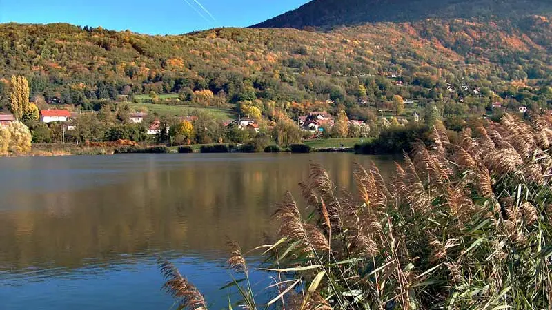
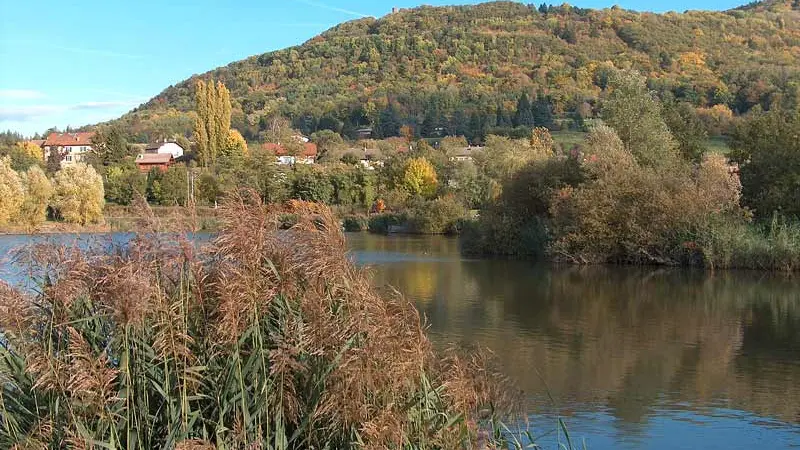
Situated on an exceptional site, with a surface area of 7 hectares and a maximum depth of 2.50 meters, surrounded by diverse landscapes, Lac de Machilly offers a natural environment that will delight wilderness lovers and fishing enthusiasts alike.
1.2 km around the lake.
It features a friendly picnic area and a playground, perfect for families. All along the walk around the lake, it's possible to observe the local flora and fauna, making the lake a privileged spot for nature lovers.
The lake is a starting point for the Plan Départemental des Itinéraires de Promenade et de Randonnée (PDIPR) leading to the Signal des Voirons, offering hiking opportunities for the more sporty.