




Tarieven
Gratis toegang.
—
Openingstijden
Vanaf 1 maart 2026 tot 30 november 2026 - Geopend alle dagen
Onder voorbehoud, van de weersomstandigheden
Locatie
Plan interactif : 1 lieux répertoriés.
- Lieu sans nom
Gesproken talen
Gesproken talen

Milieu
Milieu
- In het bos
Toegang
Toegang
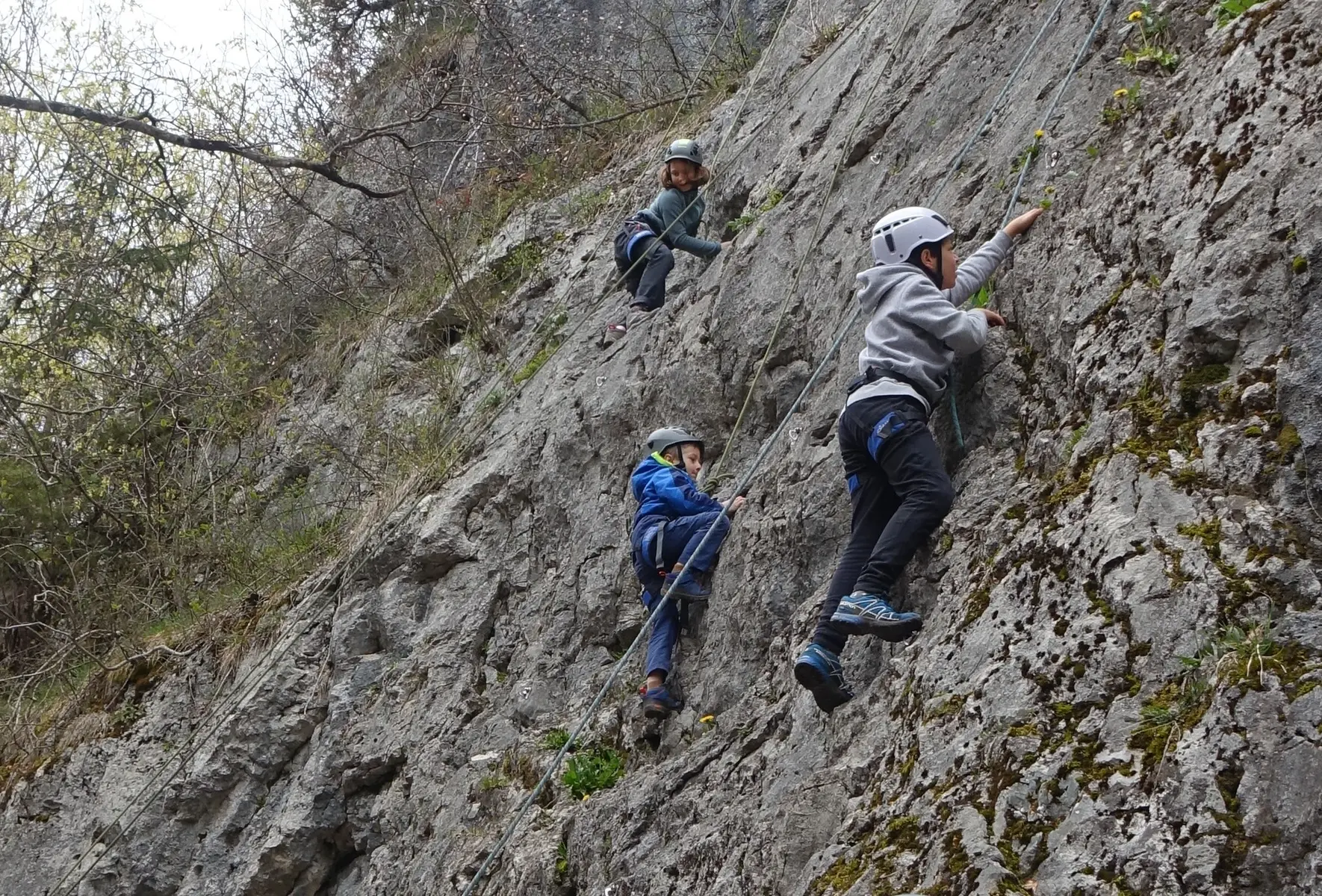
- At the Magland roundabout on the Cluses side, take the “Route du Cretet” (toward the industrial zones). Go over the highway, then cross the Arve River on a narrow bridge, and continue up the road, which a little further on is called “Route de Montferrond.” Park in a small parking lot just before the first hairpin turn to the left outside the town limits (on the left side of the road as you go uphill). Take the trail that starts right in the middle of the turn, in the forest. You’ll soon reach a fork; take one of the two trails (if you take the lower one, a little further on you’ll need to turn left, heading uphill) until you reach a forest road passable by 4x4s but closed to traffic. Follow it uphill. At each fork in the trail, take the ascending branch (the one on the right). At the end of the trail, continue for another 5 minutes along a narrow path until you reach the cliff.

