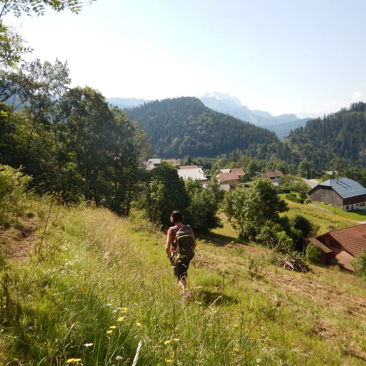
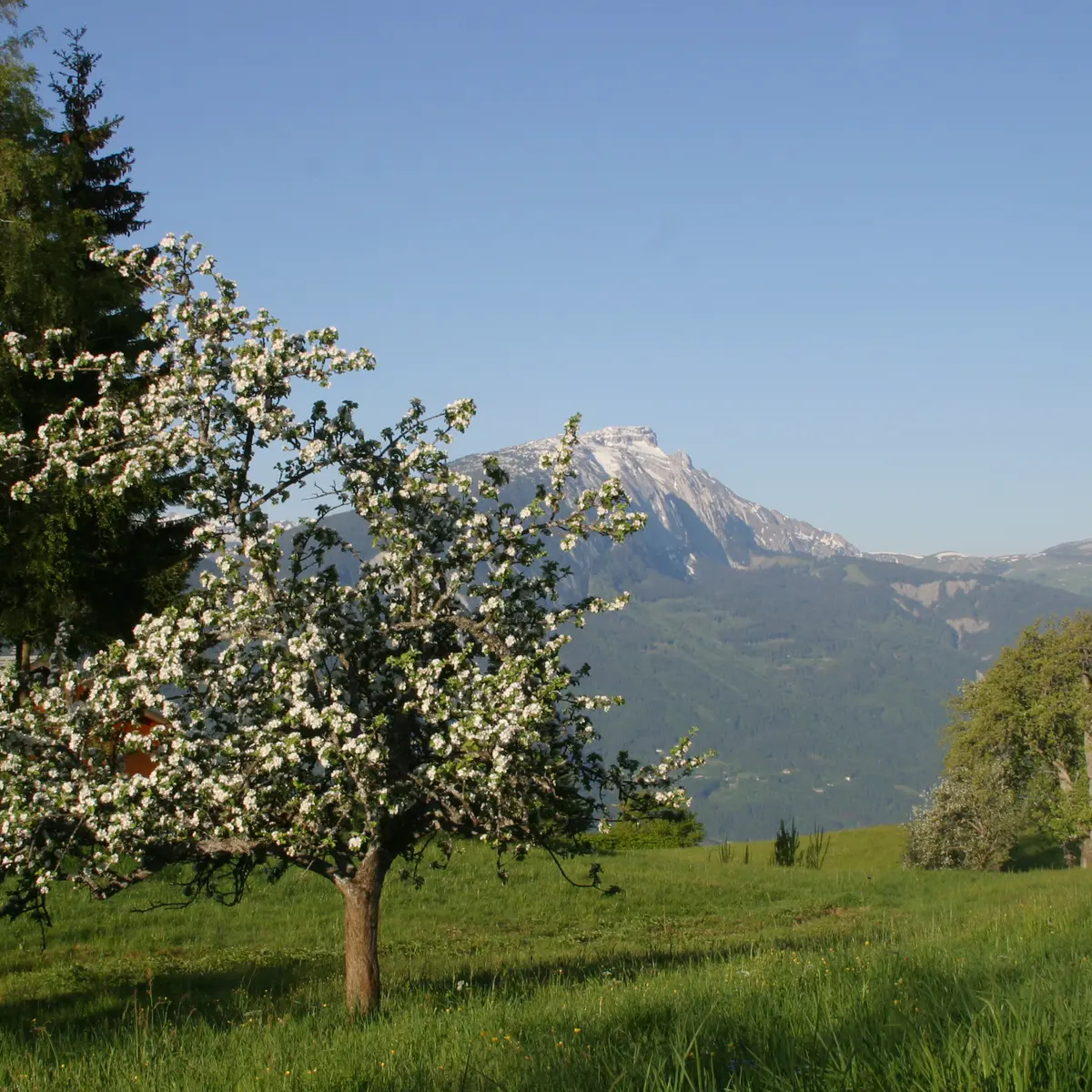
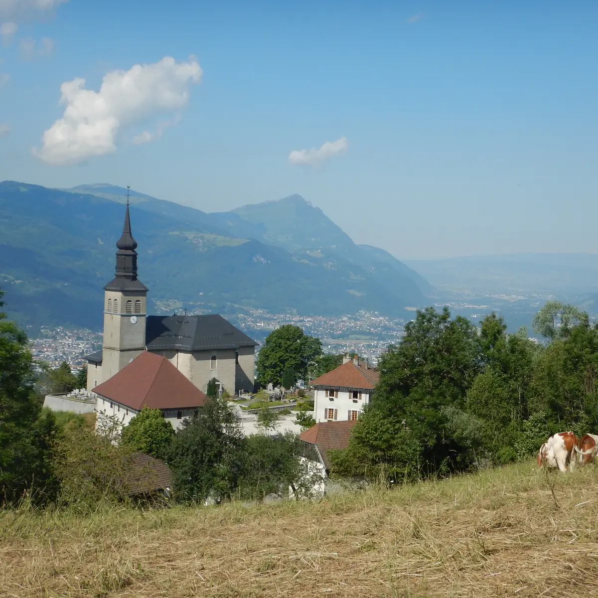
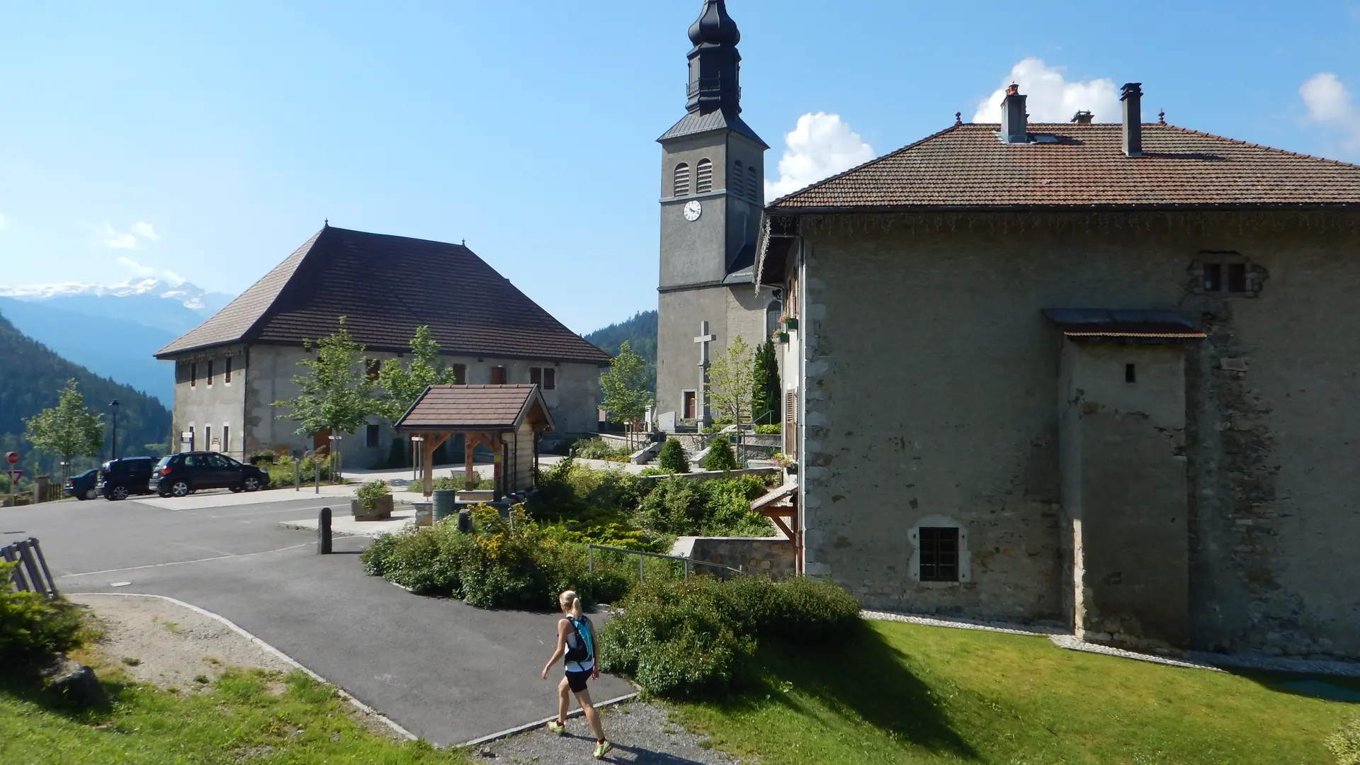
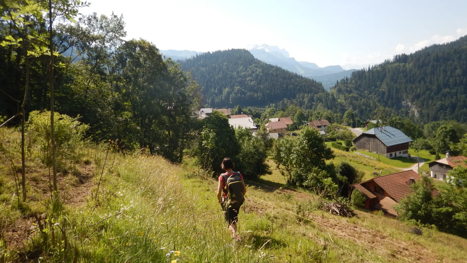
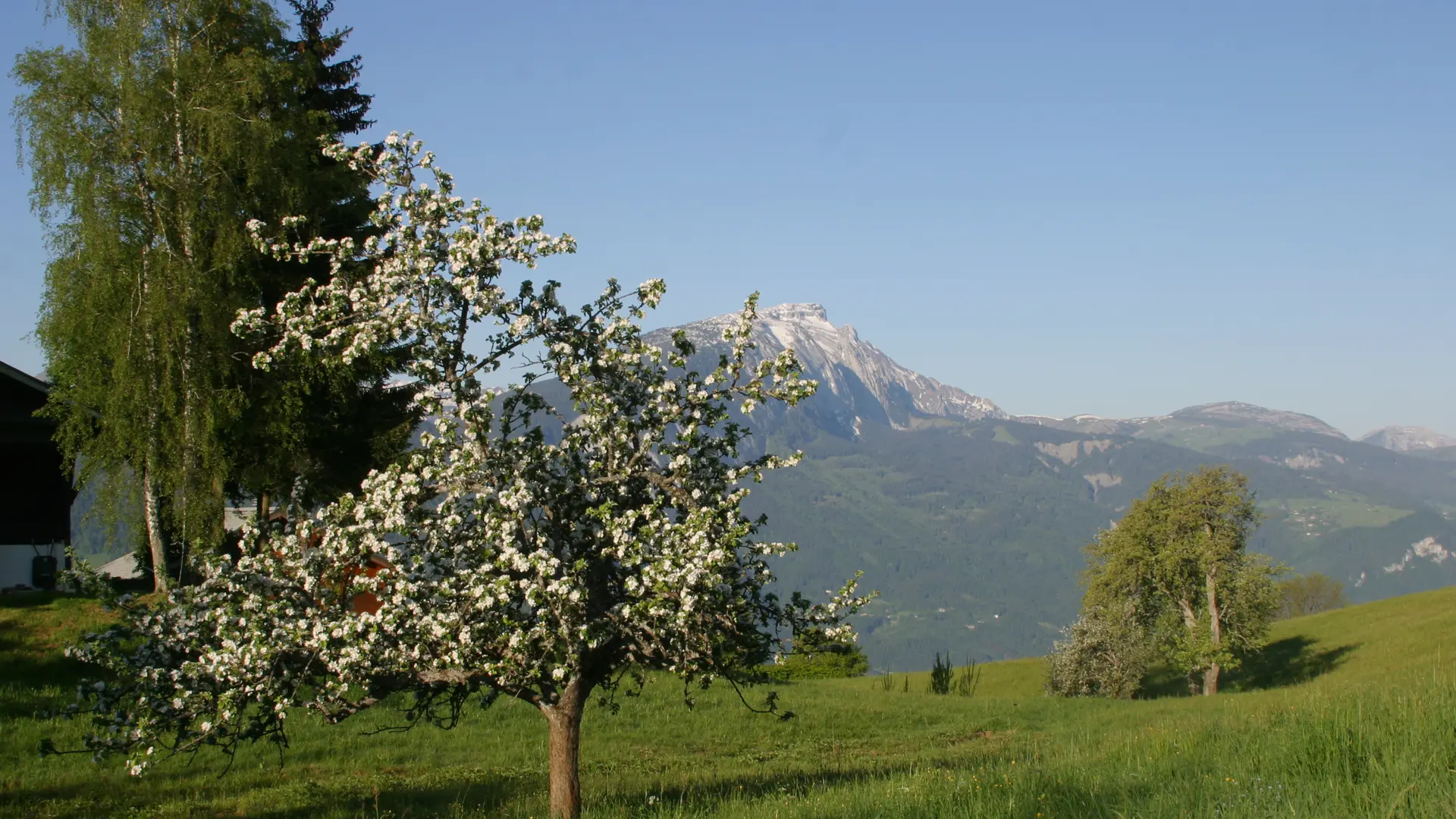
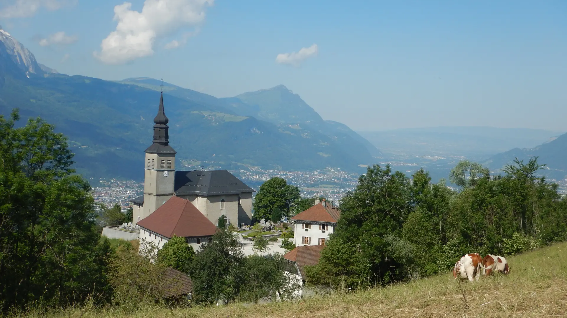
A pleasant walk through the woods, despite the steep climb at the start up to the mountain pastures of St-Sigismond. At the summit, enjoy the view of Mont Blanc and the Giffre Massif.
Step-by-Step Guide:
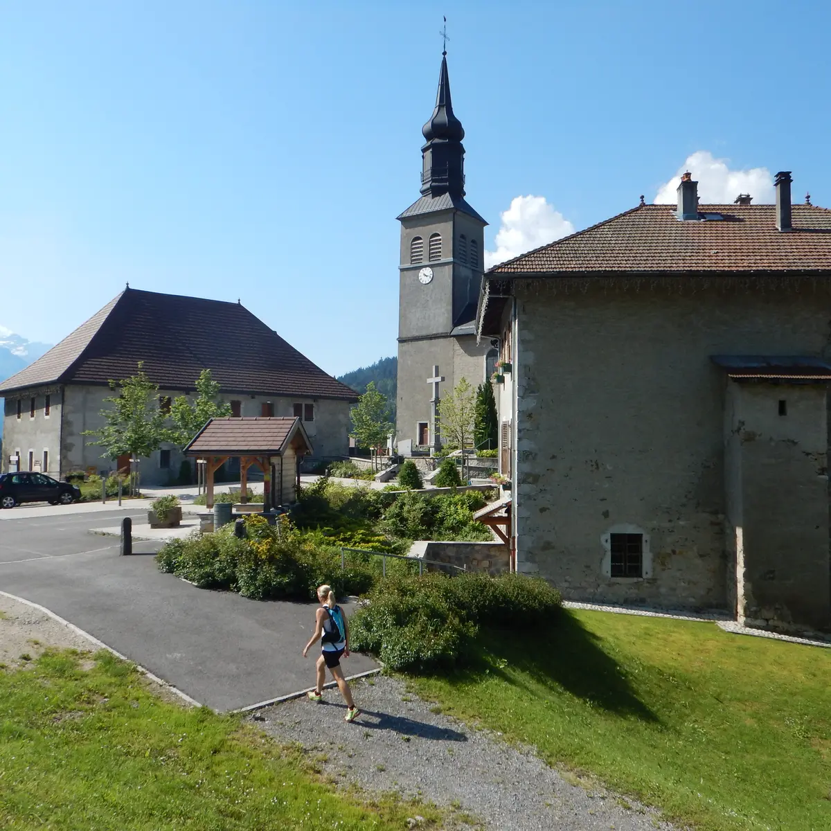
From the Saint-Sigismond Town Hall to Fimaloz: 2 hours Starting from the Town Hall, take the road toward Agy via Les Granges de la Frasse. Follow the arrows to the hamlet known as Chemin du Jourdil. From there, head up the road to the left. At the hairpin turn, take the trail on the left onto Chemin de la Berchère. Then continue along the dirt road until you reach a plateau with a beautiful view. Pass the barn, then turn immediately left, following signs for “Agy – La Croix.” Cross the stream, then head up the very damp path to the left. Next, cross the three footbridges in succession and take the trail that continues to the right into the forest. The trail then runs through the shade of the woods. When you reach Les Granges, follow the signs for “Agy (La Croix)” again. You’ll arrive at Les Chalets de Fimaloz, where you can enjoy a beautiful view. From Fimaloz to Agy (La Croix): 30 minutes. When you reach the signpost marked “Fimaloz,” follow the direction for “Agy (La Croix) via La Bordaz.” Then continue toward “Agy (La Croix).” You’ll pass by the restaurant La Tanière and the cross-country ski center. Once you’ve passed the parking lot, you’ll arrive at Agy (La Croix). From Agy (La Croix) to Les Hauts Choseaux: 40 minutes To descend from La Croix, retrace your steps. Return to the county road and follow the path to the left, which descends beneath the road. After about 500 meters, cross back over the road and continue downhill to the village of Agy. The trail crosses the road several times before reaching the hamlet of Les Hauts Choseaux. From Les Hauts Choseaux to the Saint-Sigismond town hall: 35 minutes At the intersection, go straight toward La Croix du Chêne. When you reach the cross, take the paved road on the left until it ends. The road continues and becomes a trail. At the intersection, turn left to reach the town hall parking lot.
You can also reach the hiking trail by bus:
• Bus: LCFE (in the spring) or SLCE (in the summer)
• Stop: Saint-Sigismond – Town Hall
Further information on localisation
Further information on localisation
From Cluses, take the D902 to Châtillon-sur-Cluses. At the roundabout, turn right onto the D6 toward Saint-Sigismond. In the center of the village of Saint-Sigismond, take the road that goes up to the left toward Agy. Park in the town hall square.