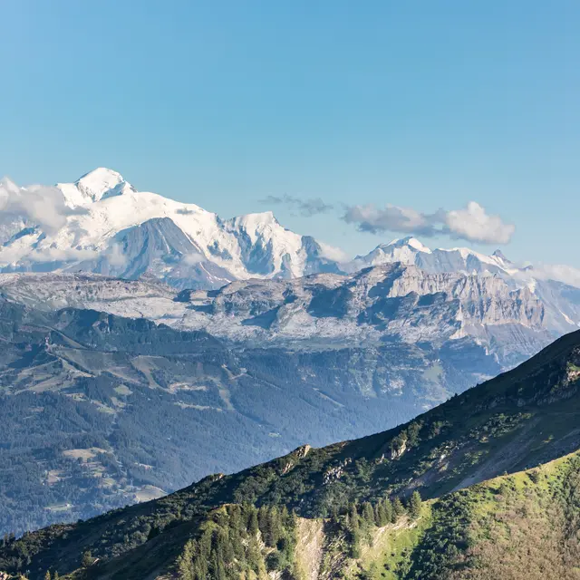
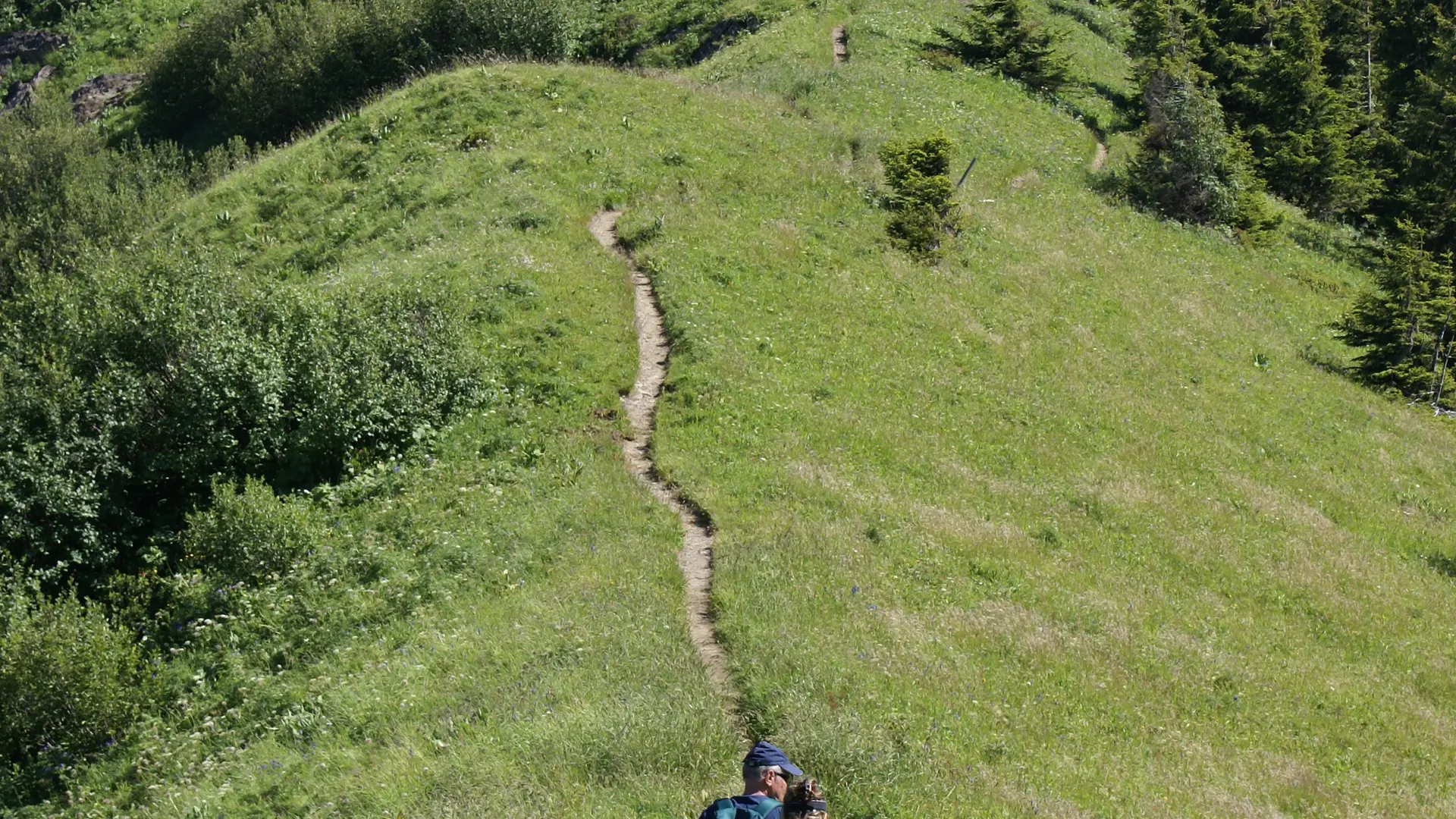
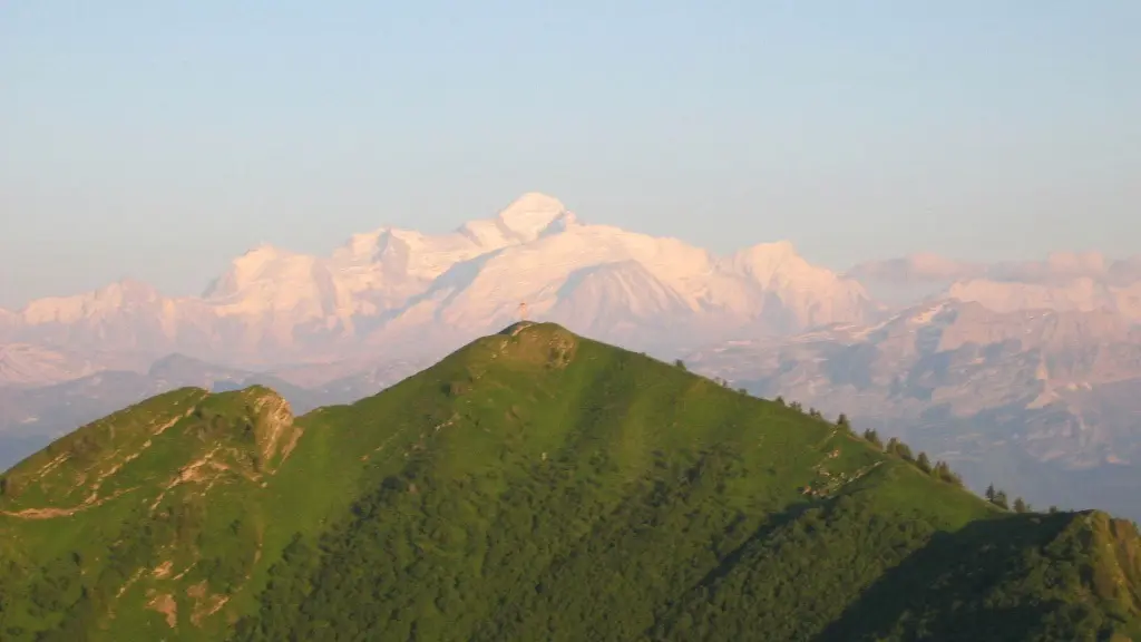
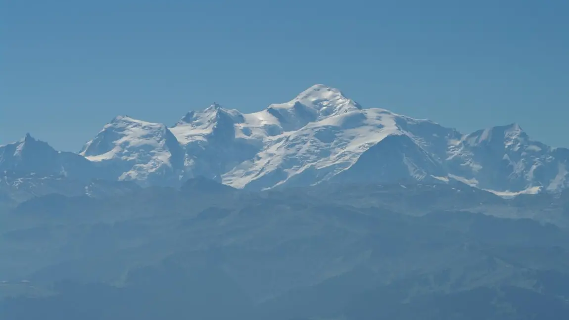
Mid-mountain trail with some remarkable views overlooking the surrounding valleys and mountains, Mont-Blanc, Jura, Bornes-Aravis...
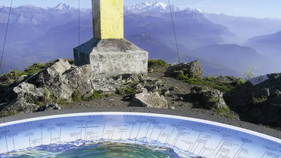
Along this loop, there are numerous viewpoints over the Chablais mountains, Mont-Blanc, the peaks of the Haut-Giffre and the Aravis mountains. As soon as you begin this trail, there’s a breath-taking view over the peaks of the Haut Giffre from a small bench in Le Planey. At the summit of the Pic de Marcelly, there’s a panoramic map on an orientation table!
Adapt your equipment to your level and the weather. Stay on the marked trails.
Tips
Possibility to do the loop of Lake of Roy when you return back.
Further information on localisation
Further information on localisation
Parking du Planey, Praz de Lys. Arriving at Praz de Lys from Taninges, turn left twice, then at Canevet, take the small road on the right.