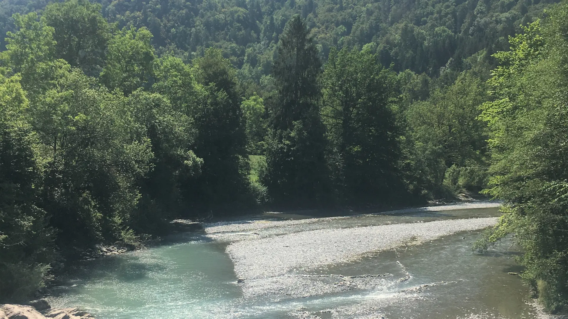
The Giffre loop

  • Sport
  • Pedestrian sports
  • Hiking itinerary
Elevation : 652m
Parking de la salle des fêtes, 74440 Mieussy

Description

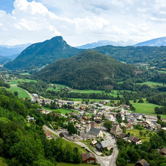
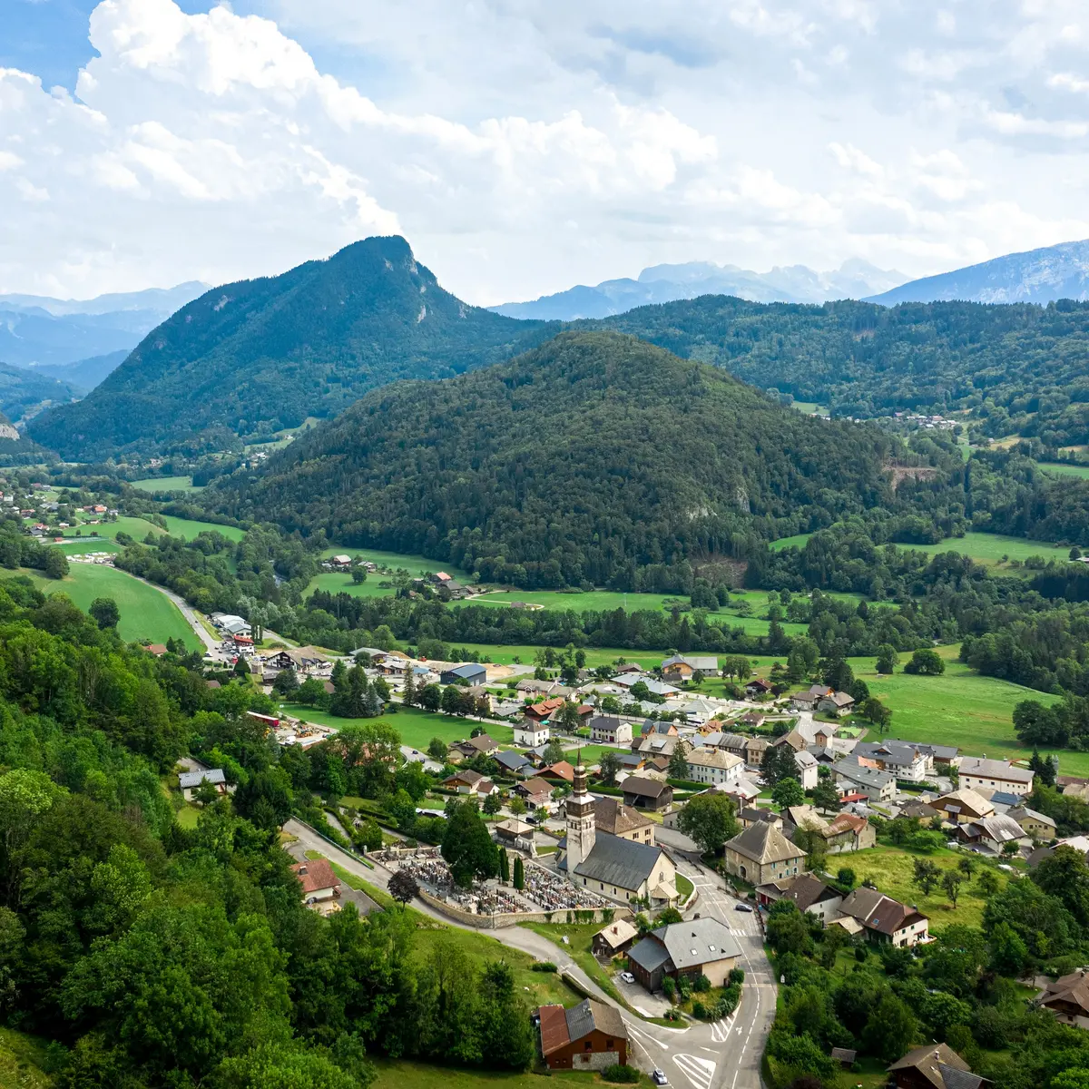
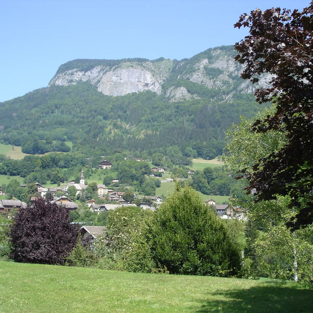
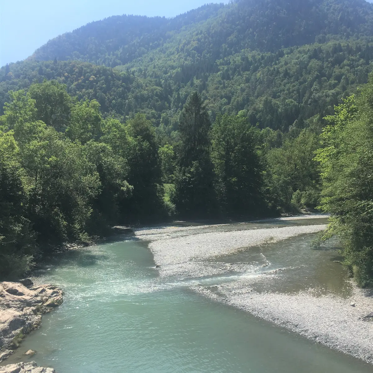
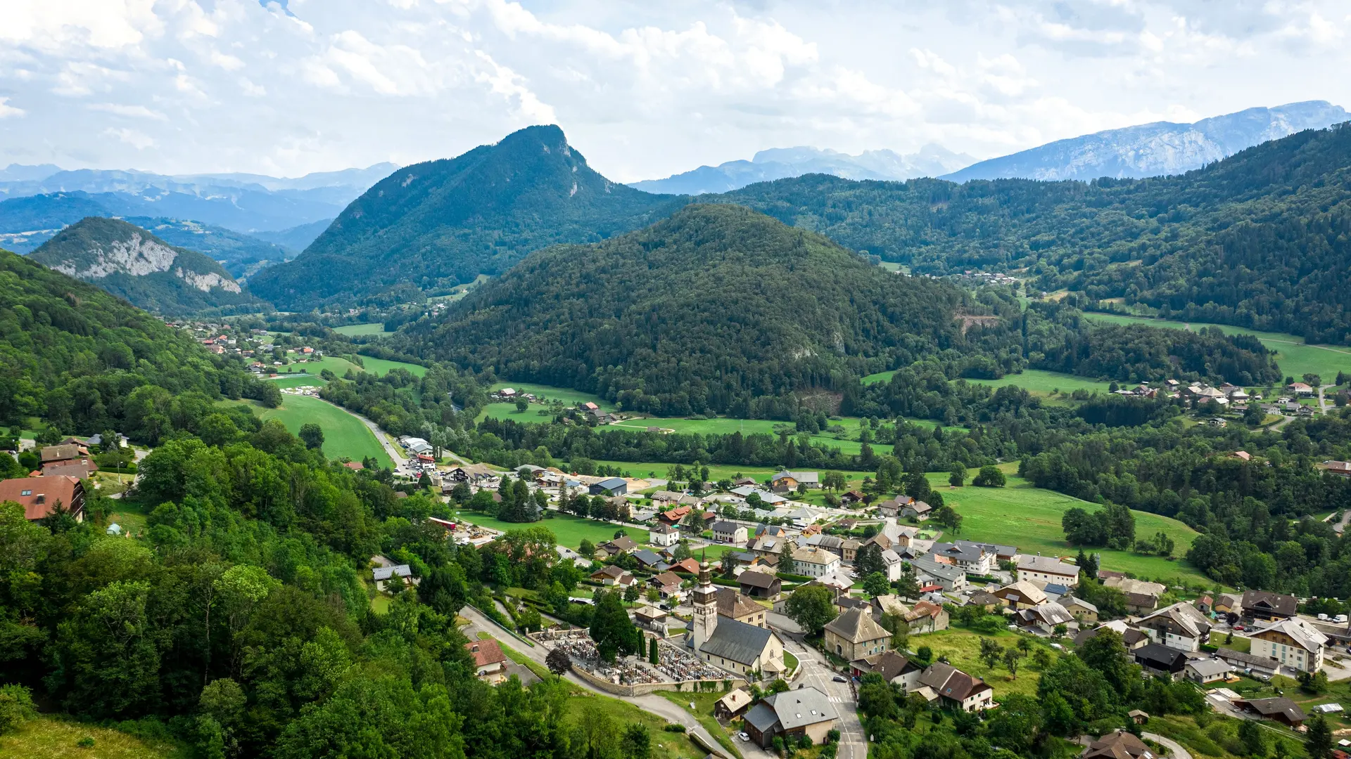
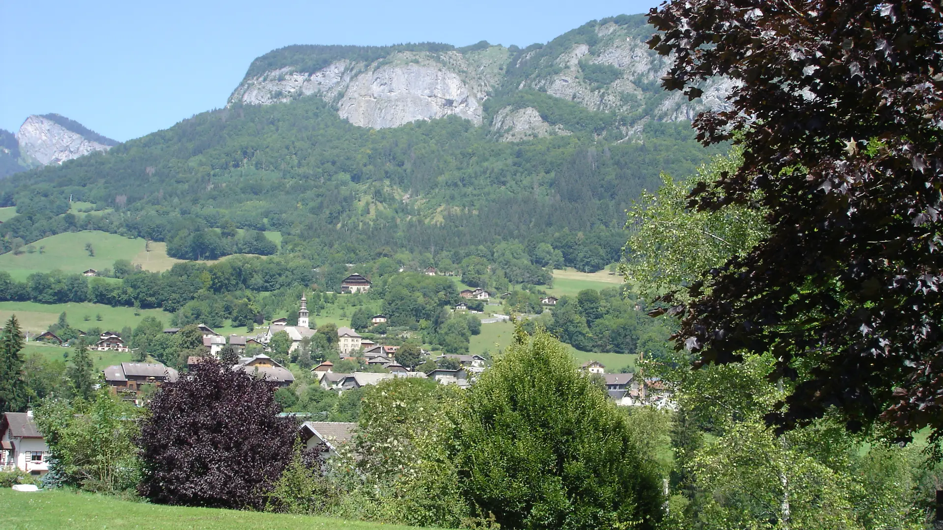
Trail between the villages of Taninges and Mieussy, along both banks of the Giffre. Long and varied itinerary through forests, villages and rivers!
Adapt your equipment according to your level and the weather. Stay on the marked trails.

Further information on localisation

Further information on localisation
From the center of Mieussy village, follow the signs for the Salle des Fêtes below the main road. The parking lot is in front of the Salle des Fêtes.

Services

Picnic area
Toilets
Car park
Animals accepted

Plain text period

All year round.

Subject to favorable snow and weather conditions.

Environment

  • Mountain location
Filter search
Page types
  • All
  • Articles
  • Agenda
  • Lists