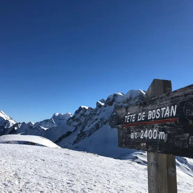
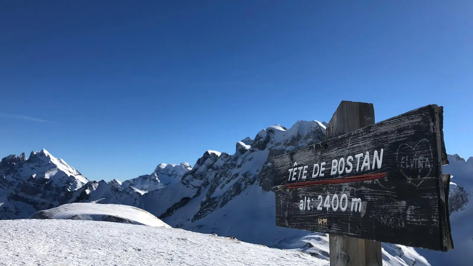
Set out to conquer an iconic peak in the Chablais Mountains: the Tête de Bostan via the Col (2,406 m).
Accessible from Morzine via a varied and rugged route. Starting from L’Erigné, this hike takes you through forests, alpine meadows, and scenic ridges, passing by the Golèse mountain hut.
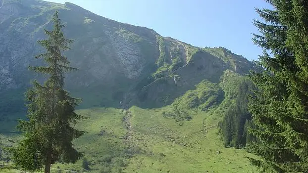
You’ll begin with a gentle climb through the woods to the Chardonnière Bridge, before reaching the upper reaches of the Golèse Valley. From the refuge, the landscape opens up to sweeping views of the surrounding mountains. The ascent then continues up the vast slopes of the Avouille, before following the ridge leading to the Pas de la Latte and on to the summit.
Along the way, you’ll pass alpine chalets, herds of livestock, and spectacular views of the Dents Blanches, Mont Ruan, and the Swiss mountains. The route is well-marked and accessible to experienced hikers in summer, or on snowshoes or cross-country skis in winter, depending on snow conditions.
Duration: approximately 5 hours round trip
Elevation gain: approx. 1,200 m
Starting point: Erigné Parking Lot (Morzine)
Difficulty: experienced hiker / intermediate
️ Optional break at the Golèse mountain hut (in season)
An ideal route to get up high, disconnect from everyday life, and enjoy the great outdoors.