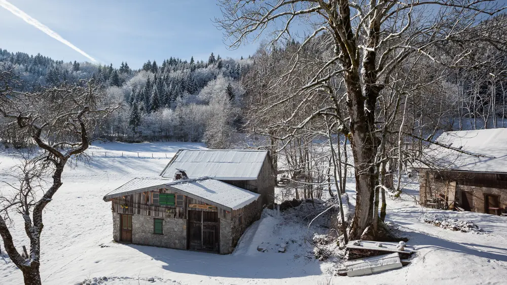
Discover the hamlet of Lain and its mountain pasture, and walk across the snow-covered meadows overlooking the hamlet of “Chez les Vesin.”
To reach the trail in Lain—a place where flax and hemp were once processed—head toward the hamlet of Chez les Vesin, passing in front of the church.
At the intersection, turn right onto “Route des Plagnes.”
After about 400 m, at a fountain and a wayside shrine, turn left onto “Route de l’Emmontagnée.” You’ll reach the start of the trail 50 m further on, where you can put on your snowshoes and take the “Chemin de Lain .”
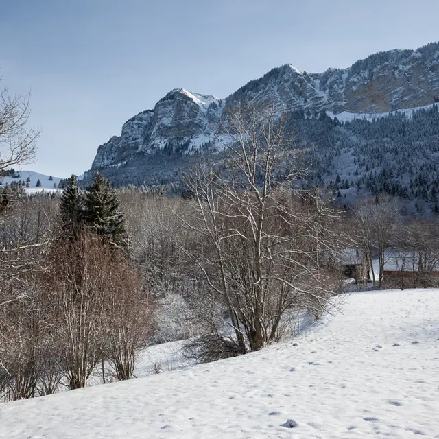
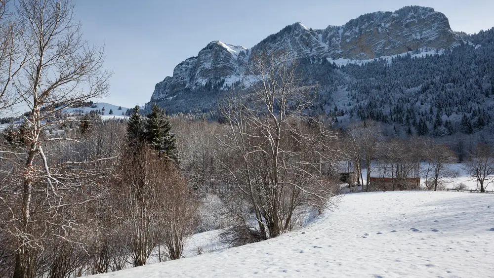
After an ascent that runs mostly through the woods, you’ll reach some signposts; follow the path that continues on flat ground, keeping to the far right. The first buildings come into view; to your left is a large open space, overlooked by the Mémises cliff, Mount César, and further to the right, Mount Bénand (snowshoe tracks may crisscross this area—do not follow these tracks, as they will lead you into unmarked areas).
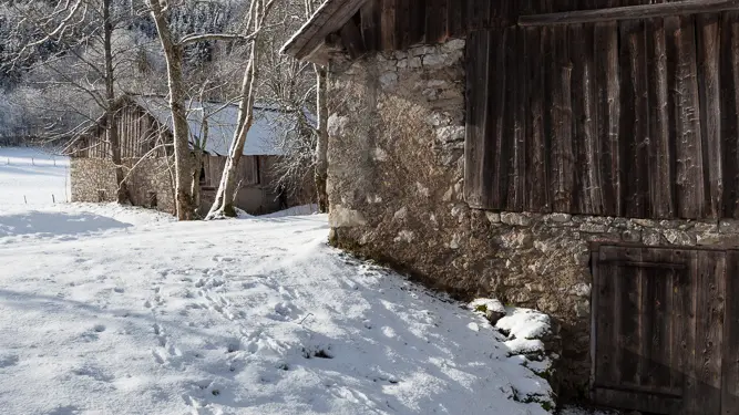
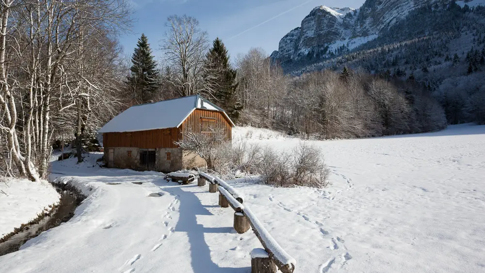
As you continue along the marked trail, you’ll come across other barns, some of which have been renovated.
This was where the farmers from the hamlets of Chez les Vesin and Chez Cachat stored their hay. They would come to retrieve it in winter using “hay sleds” to feed their animals.
After passing the barn on your right, follow the long descent through the woods.
At the bottom of this descent, as you emerge from the woods, veer slightly to the right onto the path that will lead you to a lovely viewpoint overlooking the towering Mémises Cliffs.
Continue along the edge of the woods, and you’ll soon see the houses of the hamlet of Chez les Vesin.
At the next intersection, head up to the right; you’ll rejoin the path you took on the way up.
From there, head back down to the left to continue toward the town center.