Set out to climb Petit Croisse Baulet, and along the way, discover the famous Roman boundary stones.
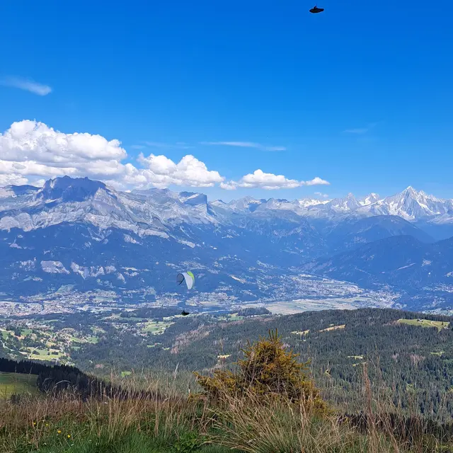
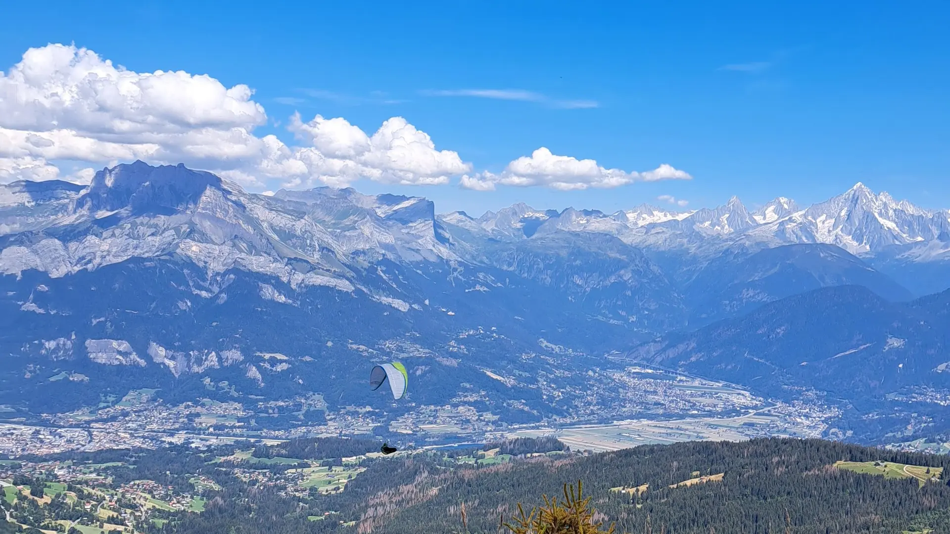
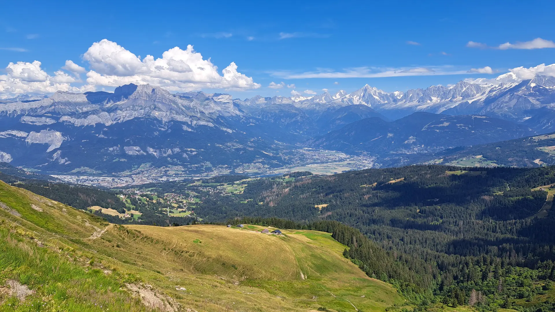
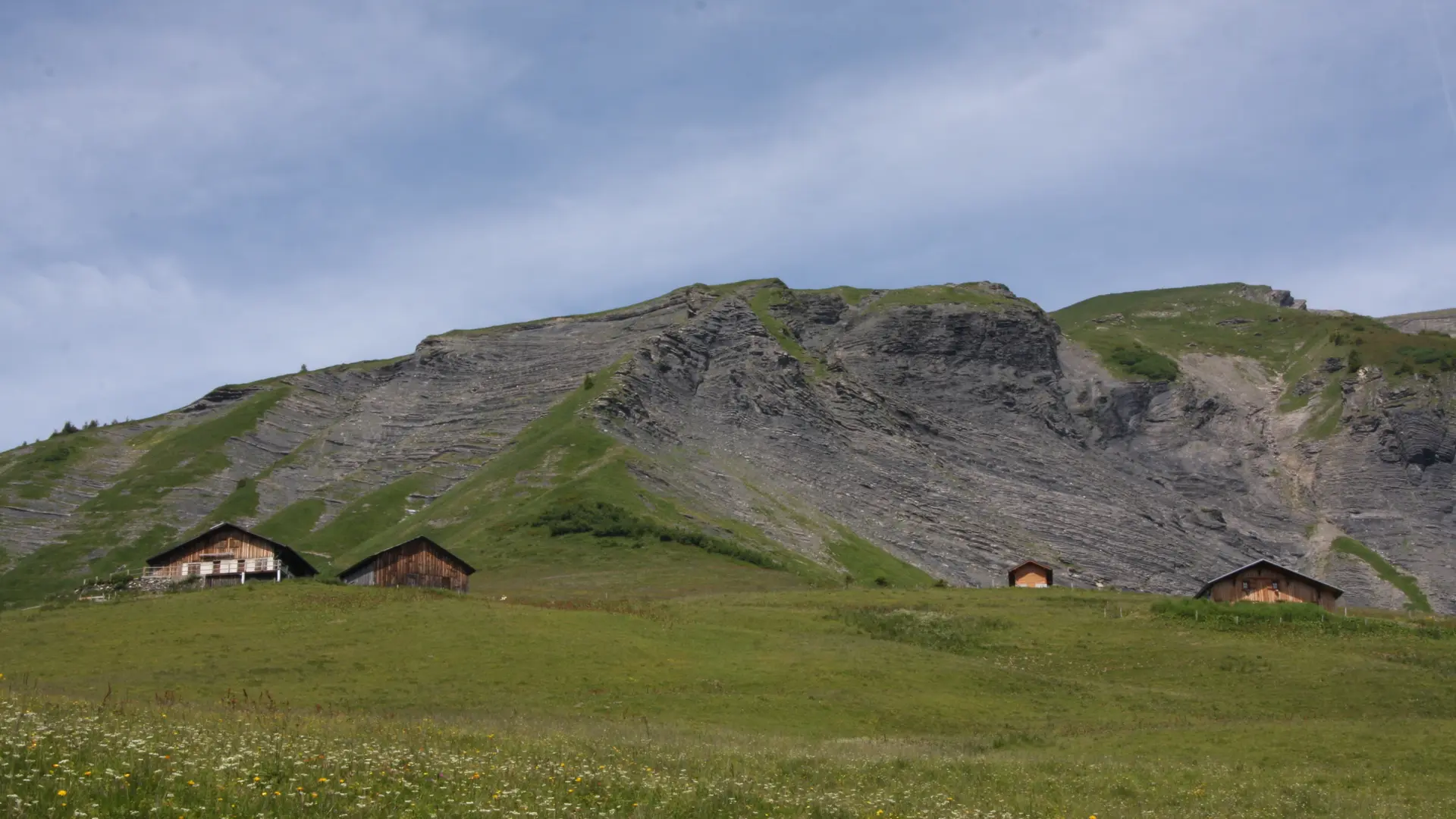
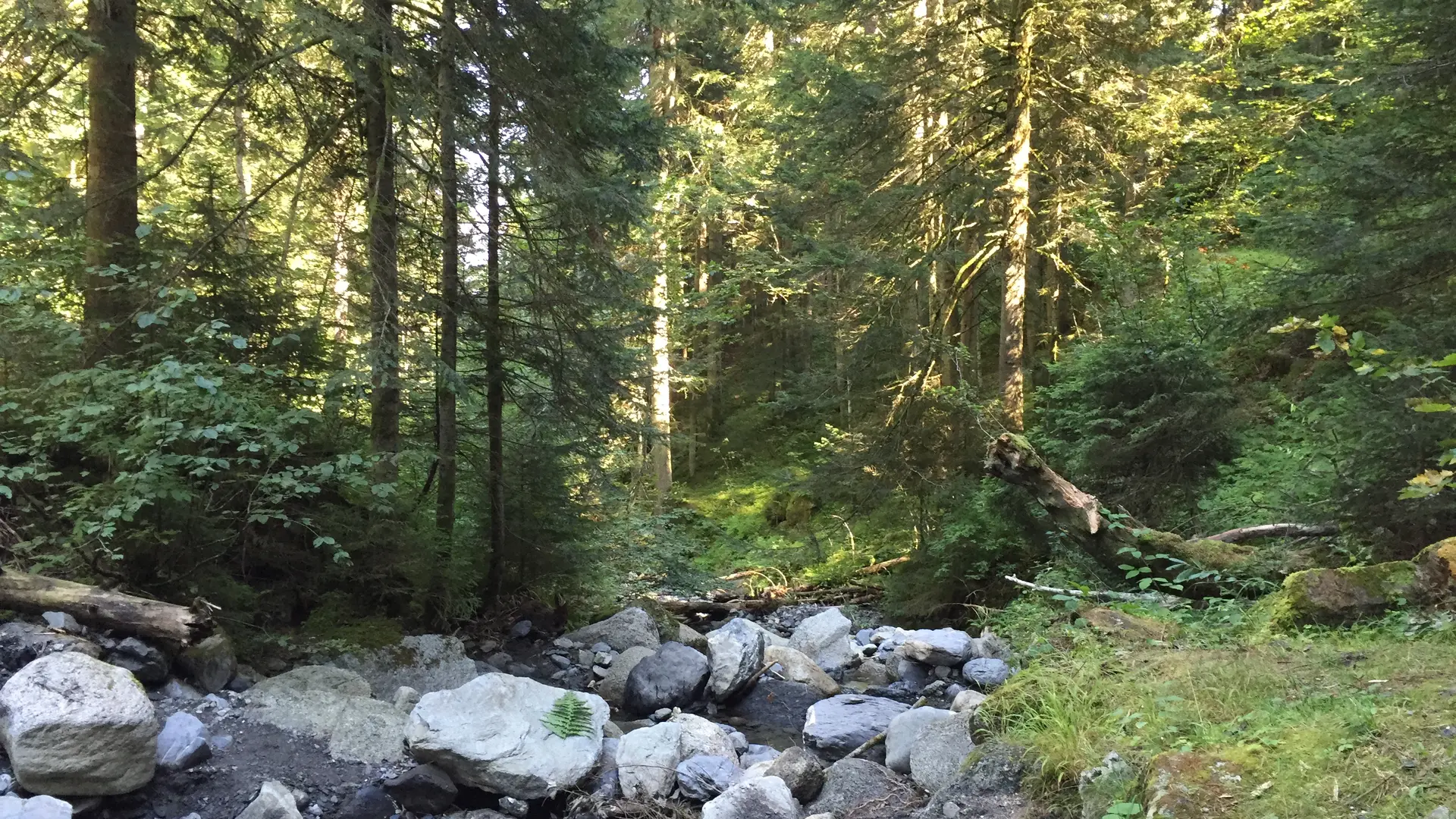
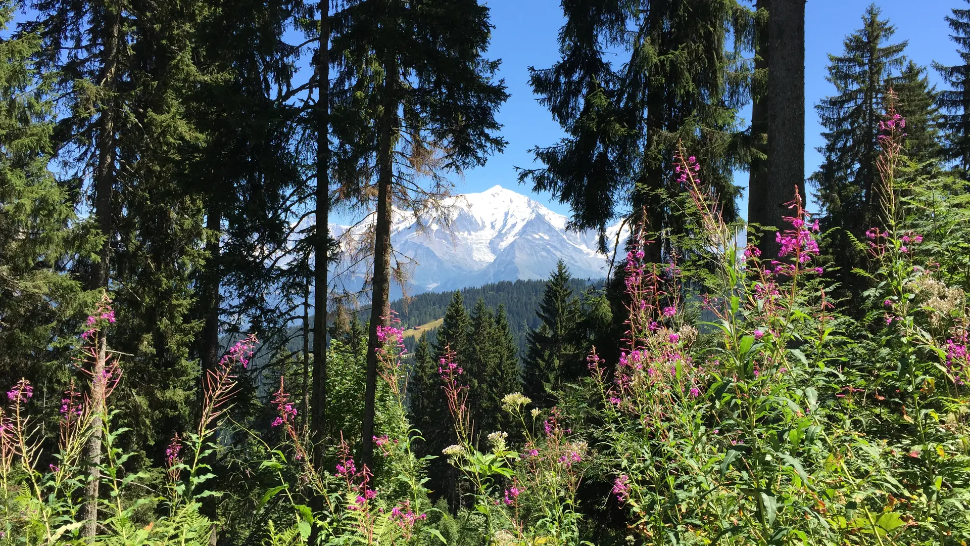
Start the hike at the forest road in the Jorasse Forest. After a long stretch in the shade, the landscape will open up to reveal the surrounding mountains: the Aravis Range and the Mont Blanc Massif.
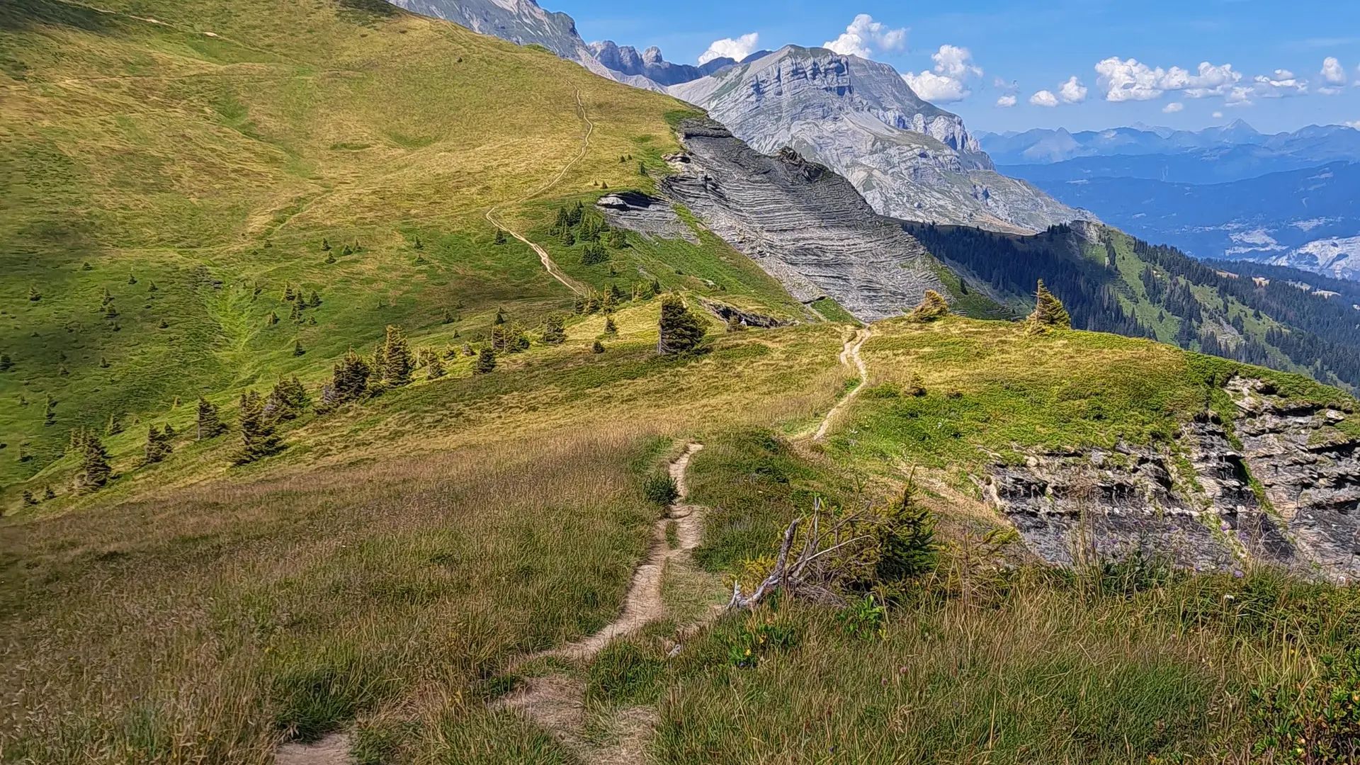
Once you reach the Chalet de l’Avenaz, you’ll have one last push before reaching the pass, then continue along a ridge trail to reach the Petit Croisse Baulet. You’ll enjoy a bird’s-eye view of the Mont Blanc massif and the Aravis Range, with the village of La Giettaz in the distance.
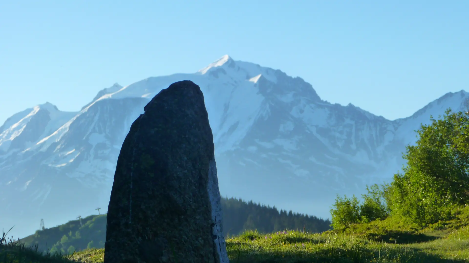
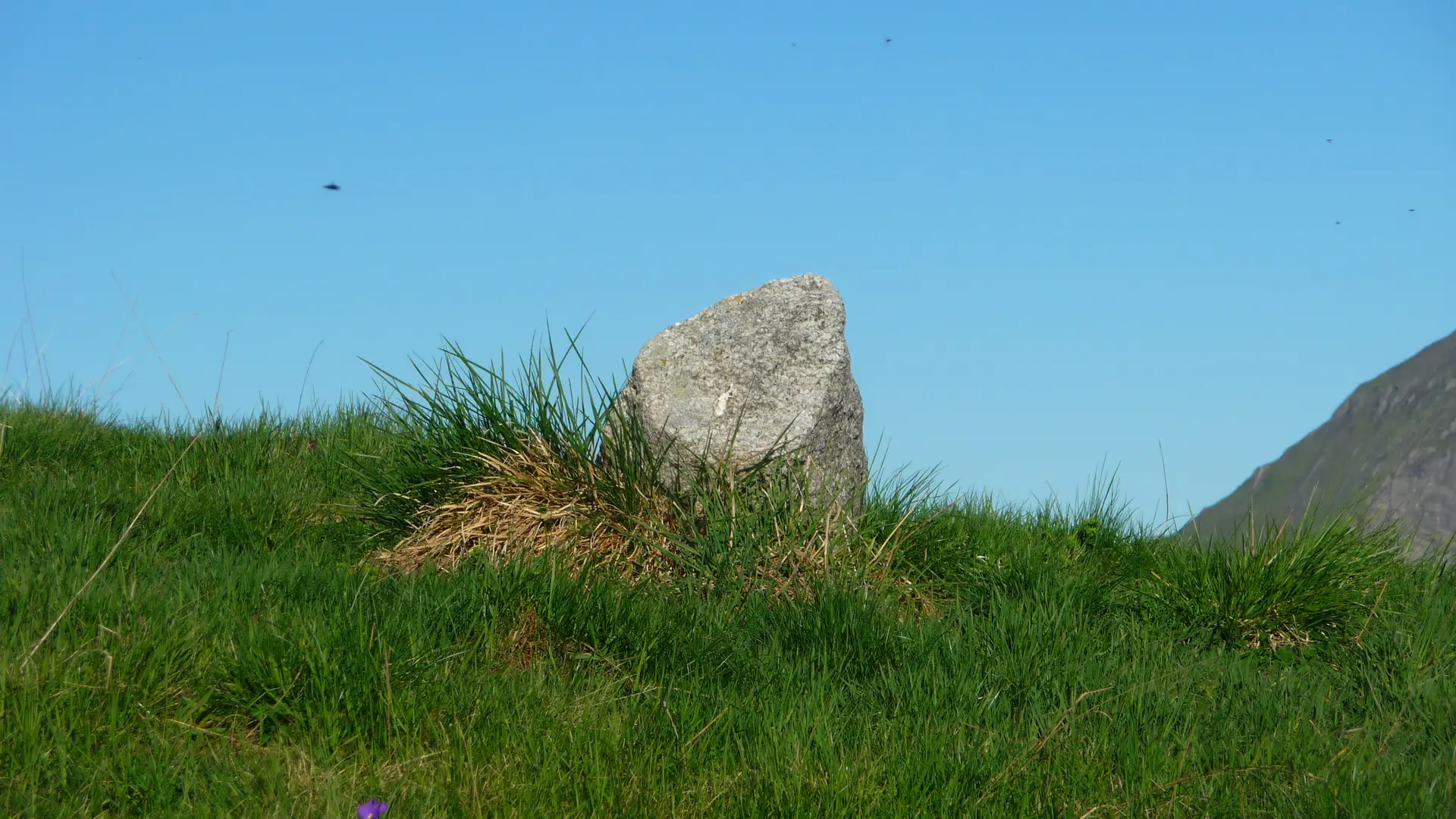
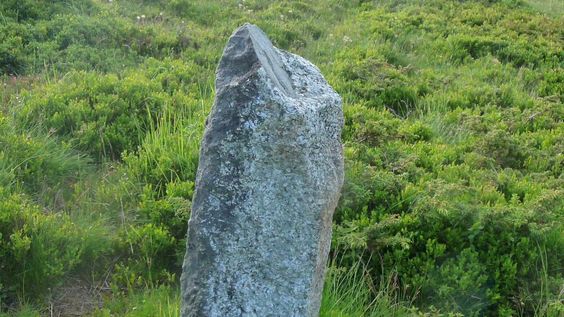
Starting from the Col de l’Avenaz, you’ll come across three Roman boundary stones. But what exactly is a Roman boundary stone?
A Roman boundary marker is an ancient structure embedded in the landscape that was used to demarcate the parish boundaries of municipalities.
Here is where the three Roman boundary markers are located along your route:
- The Col de l’Avenaz marker
- The Petit Croisse Baulet boundary stone
- The Col du Jaillet boundary stone
Please note that these boundary stones are located in the middle of nature and do not have any facilities or interpretive displays explaining their history.
To learn more about this topic, we recommend the book by the Cordon Heritage Association “Hier pour Demain,” titled “Des Bornes Romaines aux Alpages,” available for purchase at Cordon Tourisme.
A map is available at the tourist office to help you explore this trail and other routes.
No matter which hike you choose, be sure to pack cereal bars, plenty of water, sunglasses, sunscreen, a small first-aid kit, and clothing appropriate for your outing based on the season and the forecast.
This route can also be done with a guide by hiring a private mountain guide.
Further information on localisation
Further information on localisation
The parking lot is located before the bridge; you can park at an angle on your left.