Between April and June, during the nesting season, it is best to choose other hiking trails to preserve the peace and quiet of this nature reserve and protect its wildlife.
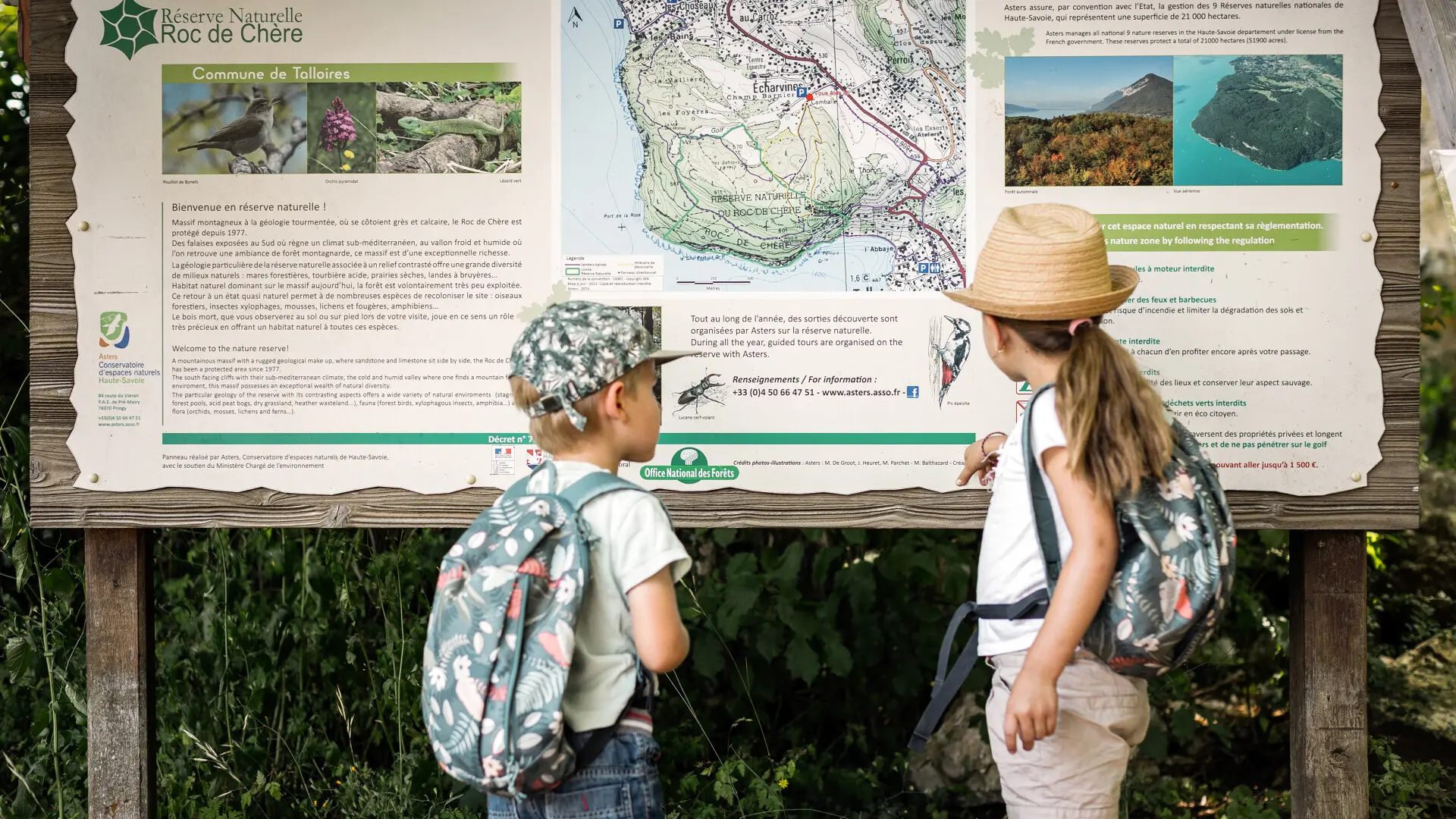
The nature reserve occupies part of the Roc de Chère, a small forested mountain range (200 ha) that juts out over Lake Annecy, between Menthon-Saint-Bernard and Talloires-Montmin.
Spared from urban development, this area offers a remarkable setting for exploring nature and enjoying breathtaking panoramic views. Its small size and gently rolling terrain make it ideal for easy, family-friendly exploration.