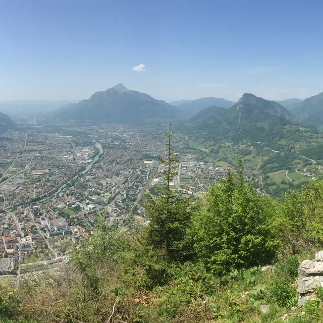
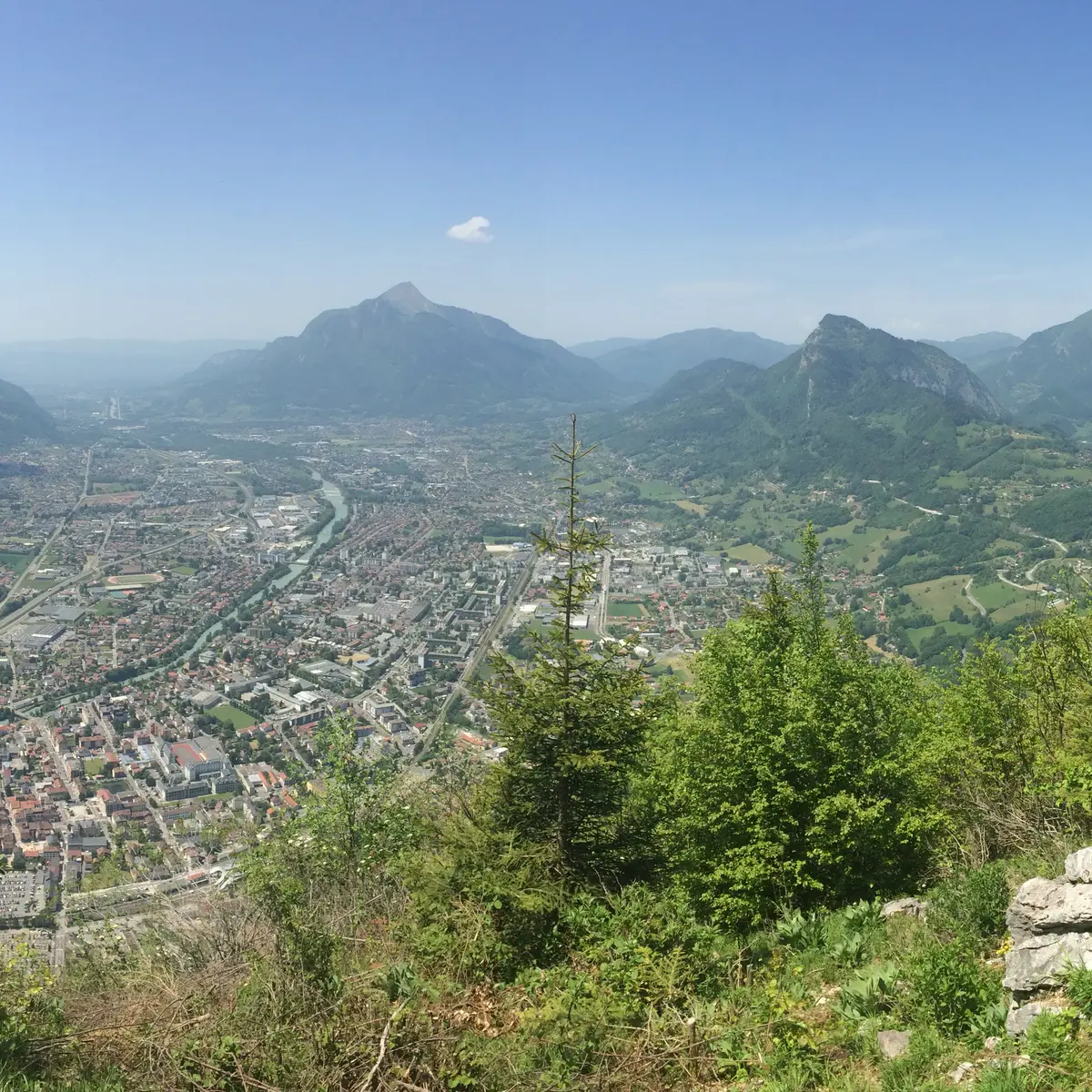
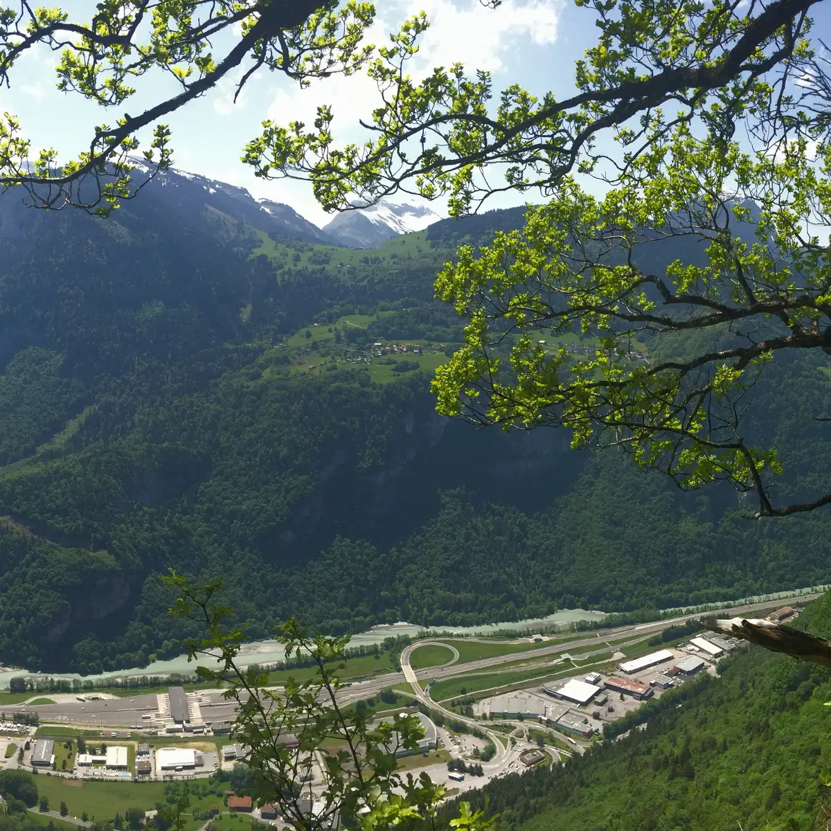
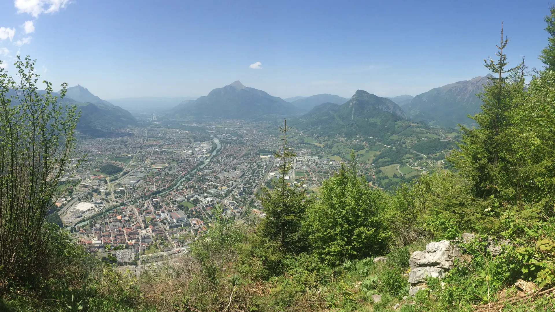
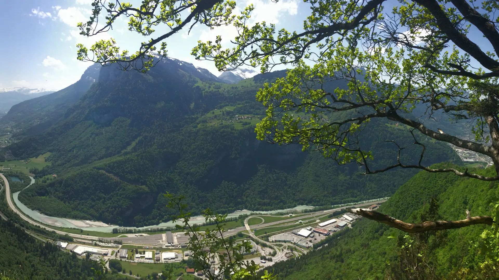
Mount Chevran offers beautiful views of the Arve Valley and the surrounding mountains. An easy-to-access, gentle trail takes you through alpine meadows and forests before reaching a spot with exceptional panoramic views.
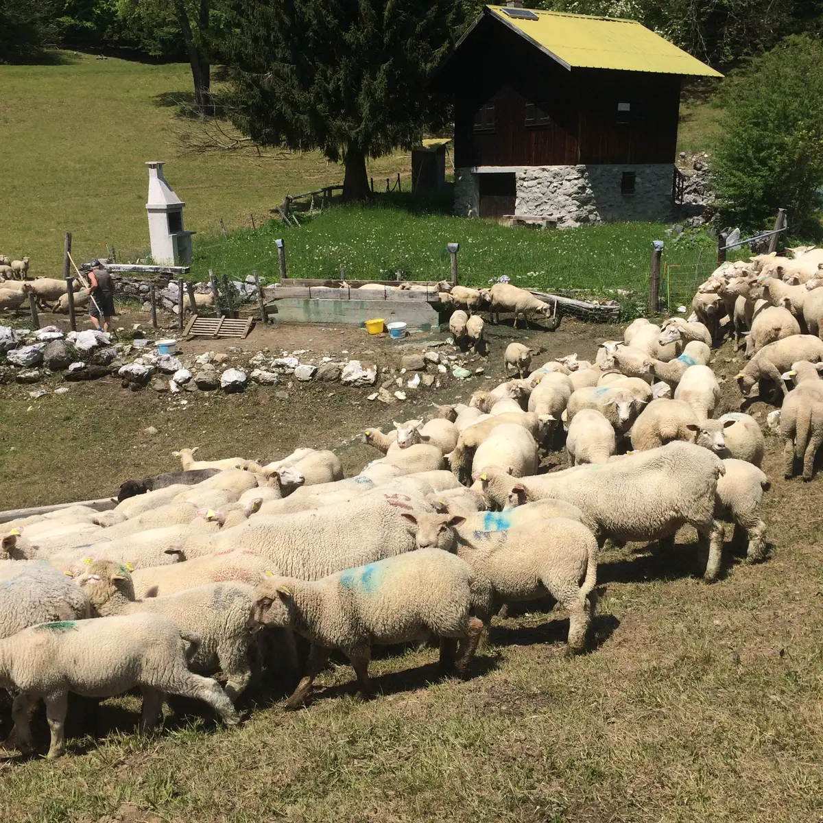
Step-by-Step Guide: From La Croix to the Maladière Cliffs: 40 minutes. Follow the vehicle-accessible trail uphill. It is steep for a few meters. Cross the Chevran d’en Bas and Chevran d’en Haut mountain pastures. Continue straight ahead until you reach the lookout point at the edge of the cliff. Alternative route: Walk to the Chevran viewpoint (15 min one way) to admire the view of the Arve Valley. From the Maladière Cliff to the intersection with the vehicle-accessible trail: 1 hr 20 min Continue on your way toward “La Dent,” taking in the scenic views along the way. You’ll rejoin the educational trail with information kiosks. Each station focuses on a specific theme. All you have to do is follow the trail markers (small posts with red arrows). In some places, there’s a handrail to hold onto, but the trail is not difficult. For a longer hike from Cluses: The Chevran Loop (for experienced hikers; includes steep sections): 2 hours 50 minutes (one way). Starting point: Boulevard du Chevran – Cluses.
Tips
The loop trail is marked with information signs about the geology, habitat, and diverse local flora and fauna—some of which may even come as a surprise (linden, umbrella pine, etc.).
Further information on localisation
Further information on localisation
From Cluses, take the D902 toward Châtillon-sur-Cluses. At the roundabout, take the D6 to the right toward Les Carroz, Flaine, and Saint-Sigismond. Drive through Saint-Sigismond and continue for about 2 kilometers. Park in the lot on your right called La Croix Verte.