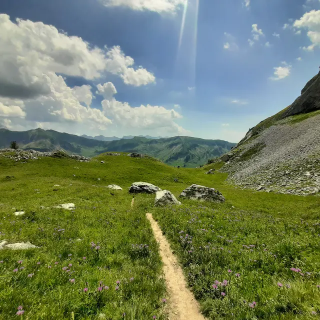
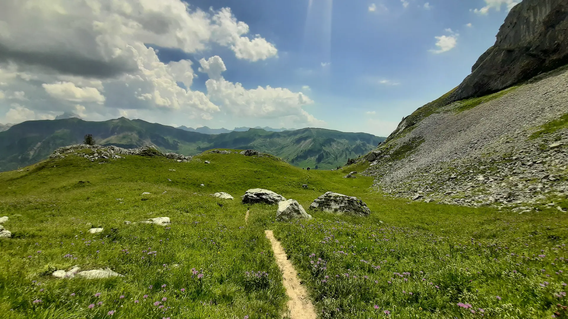
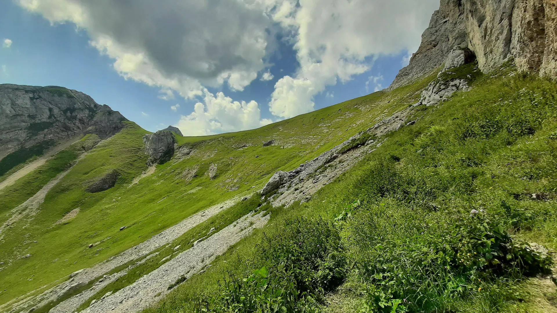
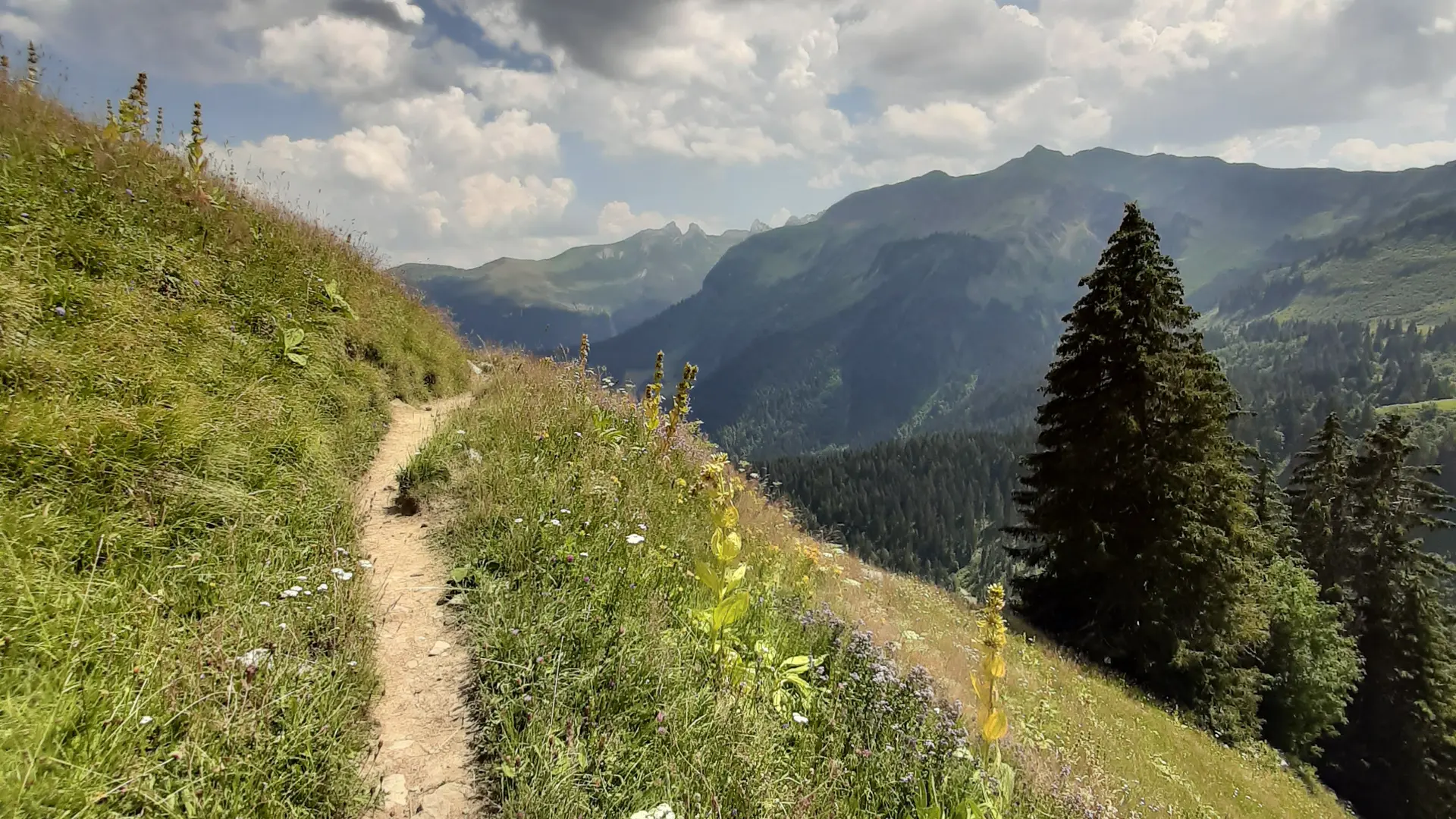
Starting from the Col de la Colombière, after a 2-hour hike across grassy slopes and scree, you’ll reach these caves, located at an altitude of nearly 2,000 meters at the foot of the Bargy mountain range.
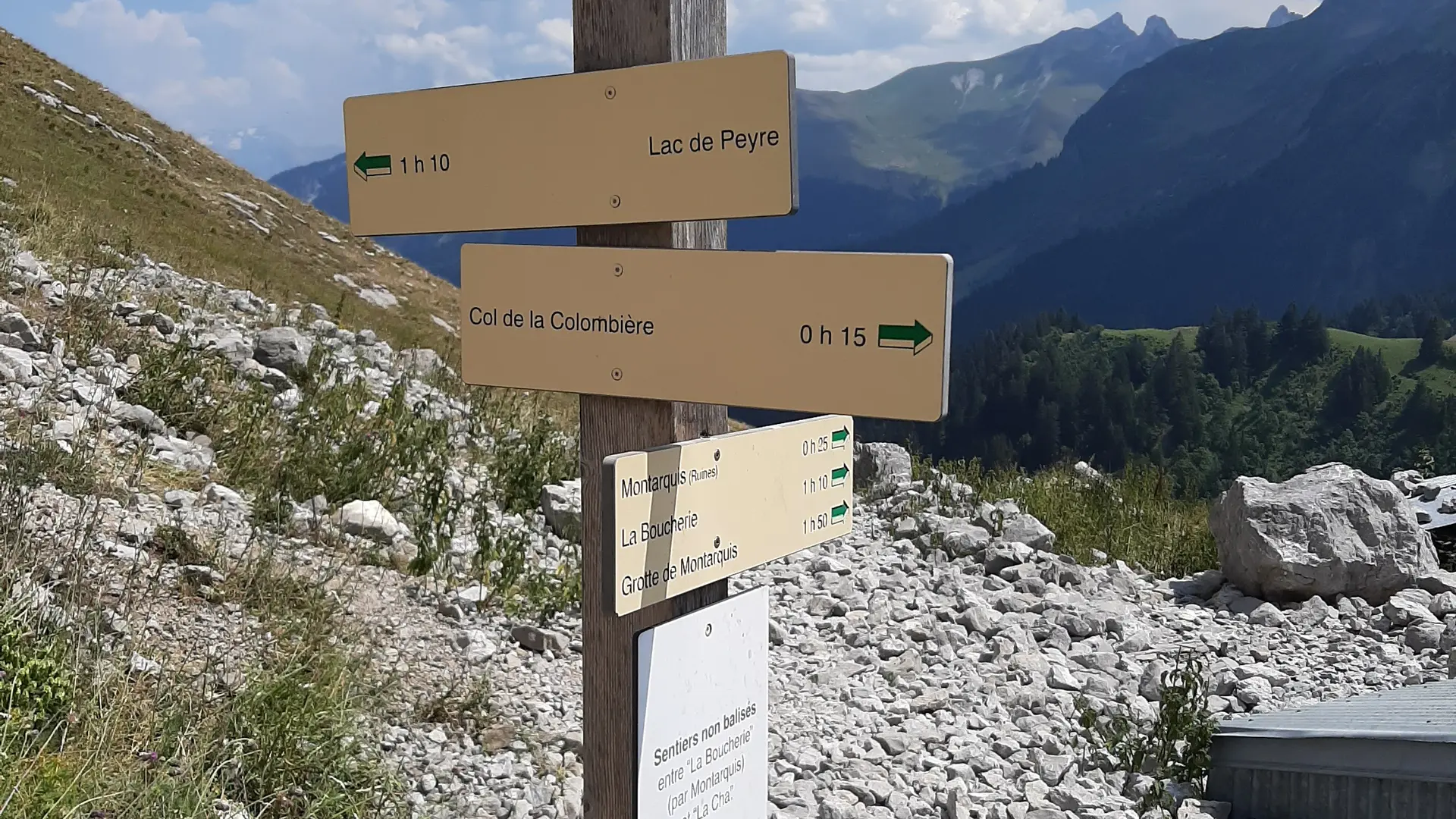
Step-by-Step Guide: Special Note: Caution—sheep in the area. Route: The trailhead is located near the Col de la Colombière chalet-restaurant. Follow the trail marked “Grotte de Montarquis (2h20).” After a 30-minute walk, you’ll reach the Chalets de la Colombière. Then turn right toward the cave. Follow the undulating path and cross a park where you’ll find a flock of sheep. Continue like this for 25 minutes until you reach the “Montarquis (Ruins)” sign. The trail then becomes steeper; leave the pasture and turn left at the small “Grotte de Montarquis” sign. Continue for 35 minutes before reaching the final ascent (about 45 minutes) through a scree field. Once at the top, enjoy the views of the Aravis Massif and the cool air emanating from the cave. The descent follows the same path as the ascent.
Further information on localisation
Further information on localisation
From Cluses, take the D4 toward Le Reposoir. Drive through the village of Le Reposoir, then continue uphill for another 7 kilometers to reach the Col de la Colombière. Park at the pass.
Additional rate information
Hiking maps are available for purchase at the tourist office.
Pets welcome Keep your dog on a leash, he can scare off herds and wild animals.
Restaurant
Openings
Temporarily closed
Plain text period
From 01/06 to 15/11 daily.
The opening periods vary depending on the opening of the col de la Colombière departmental road, which is closed throughout the winter season.
Road closure depending on weather conditions.