Hiking trail to learn about a little known age-old activity: stoneworkers at our region's flour mills. "Molière" is a natural setting of stunning beauty.
Duration: 1 hour
Difference in altitude: +100m
Altitude at start point: 825m
Altitude at end point: 925m
Map reference: IGN TOP 25 - 3429ET map
Signage: wood panels and yellow painting
Difficulty: easy
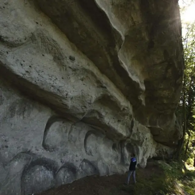
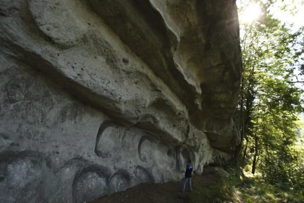
Quarries were dug out all over the forest (mainly sandstone) over 200m. Quarries have been used since Antiquity but have not been used since the mid-19th century. You can still see incomplete relics in the caves formed by the extraction of huge stones.
A guidebook of hikesis available at the Alpes du Leman tourist office.
Further information on localisation
Further information on localisation
From Boëge, head from "Pont de Fillinges". When you reach "Corbière", follow the route de la Molière. Follow signage once you reach the main road.