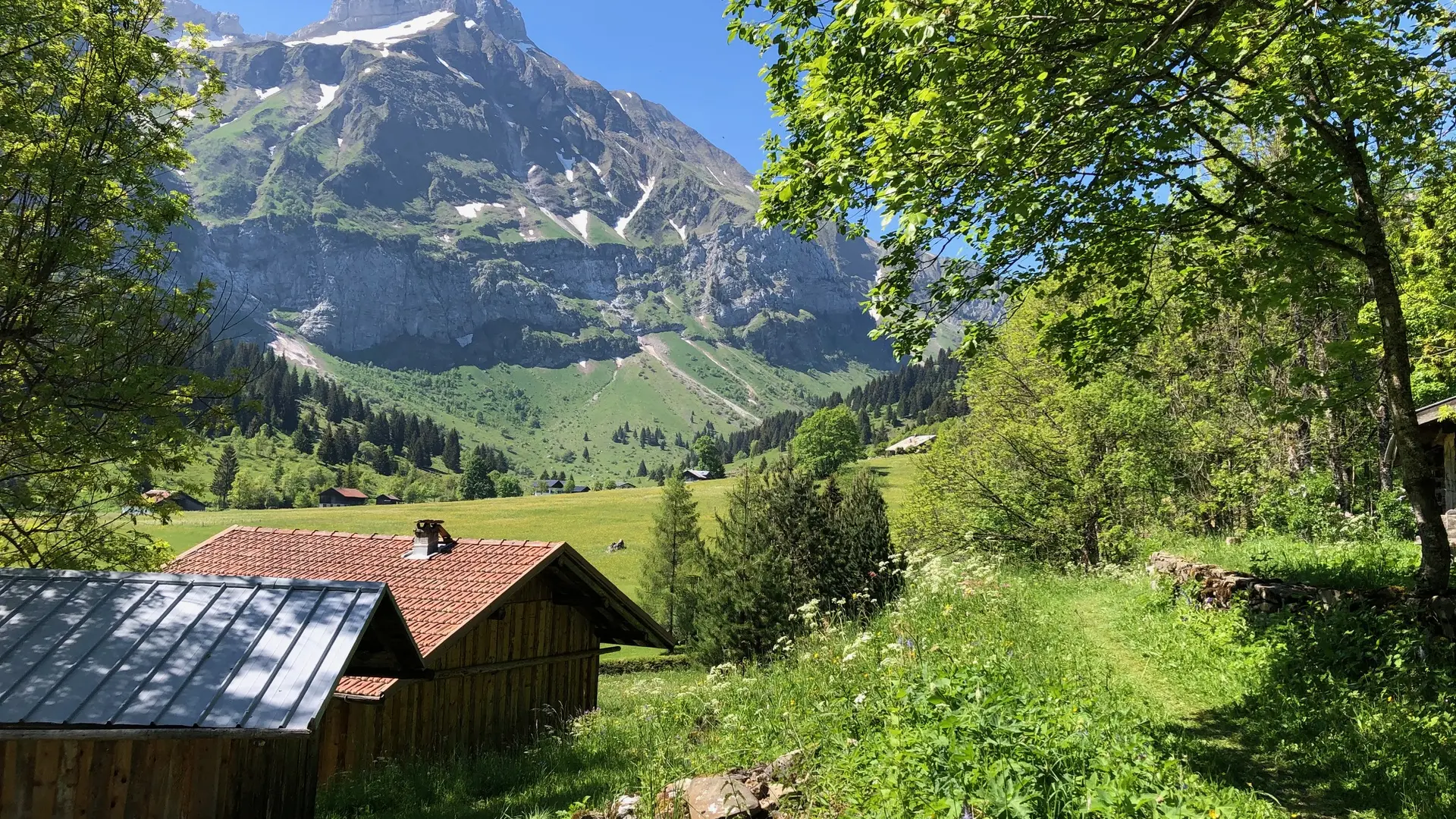
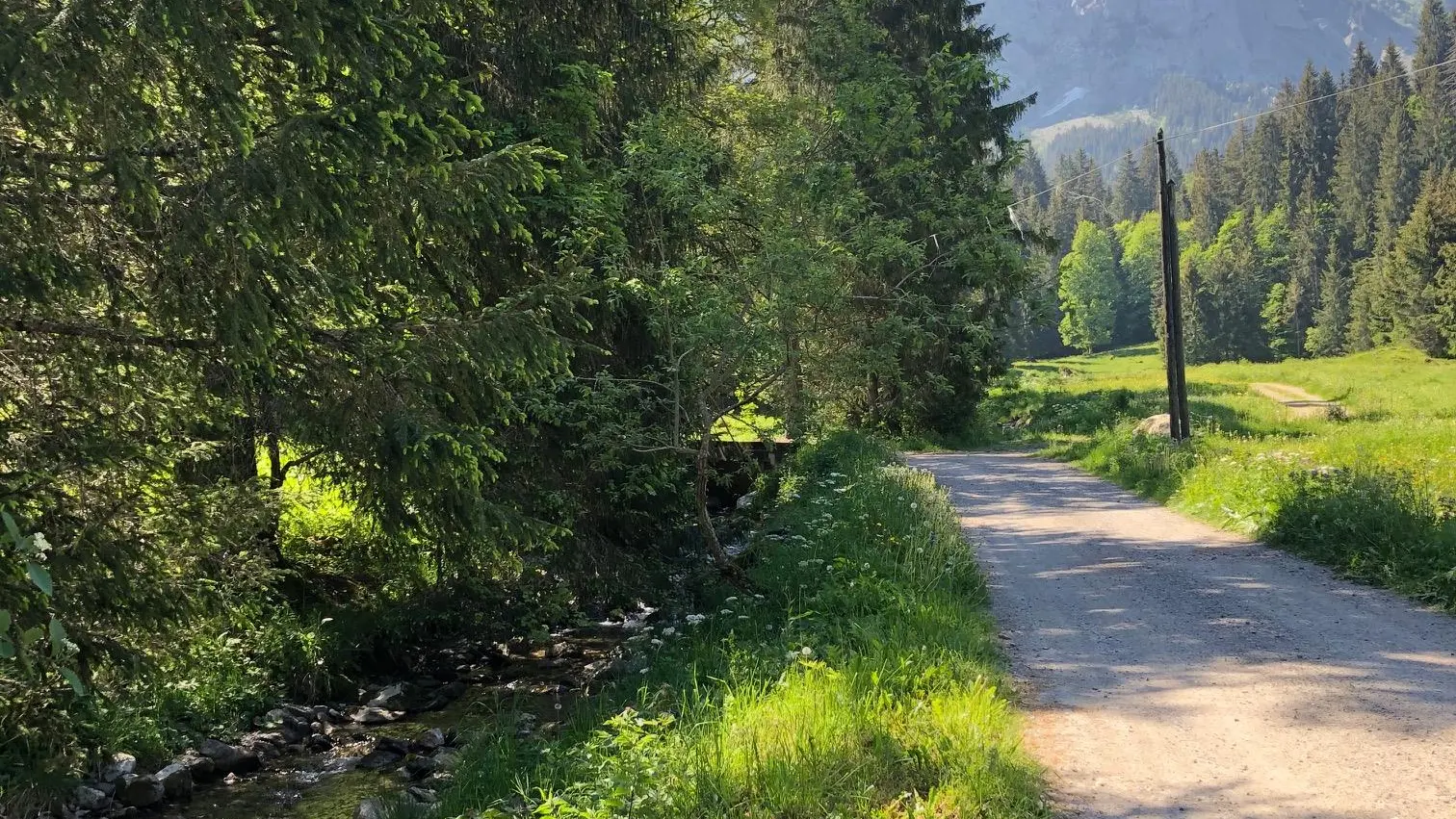
A trail accessible to everyone. Whether in summer or winter, it’s pleasant to walk along the stream, known as the Bronze. A sense of calm and well-being in a natural setting.
Step-by-Step Guide:
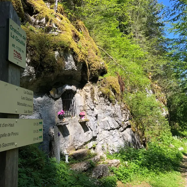
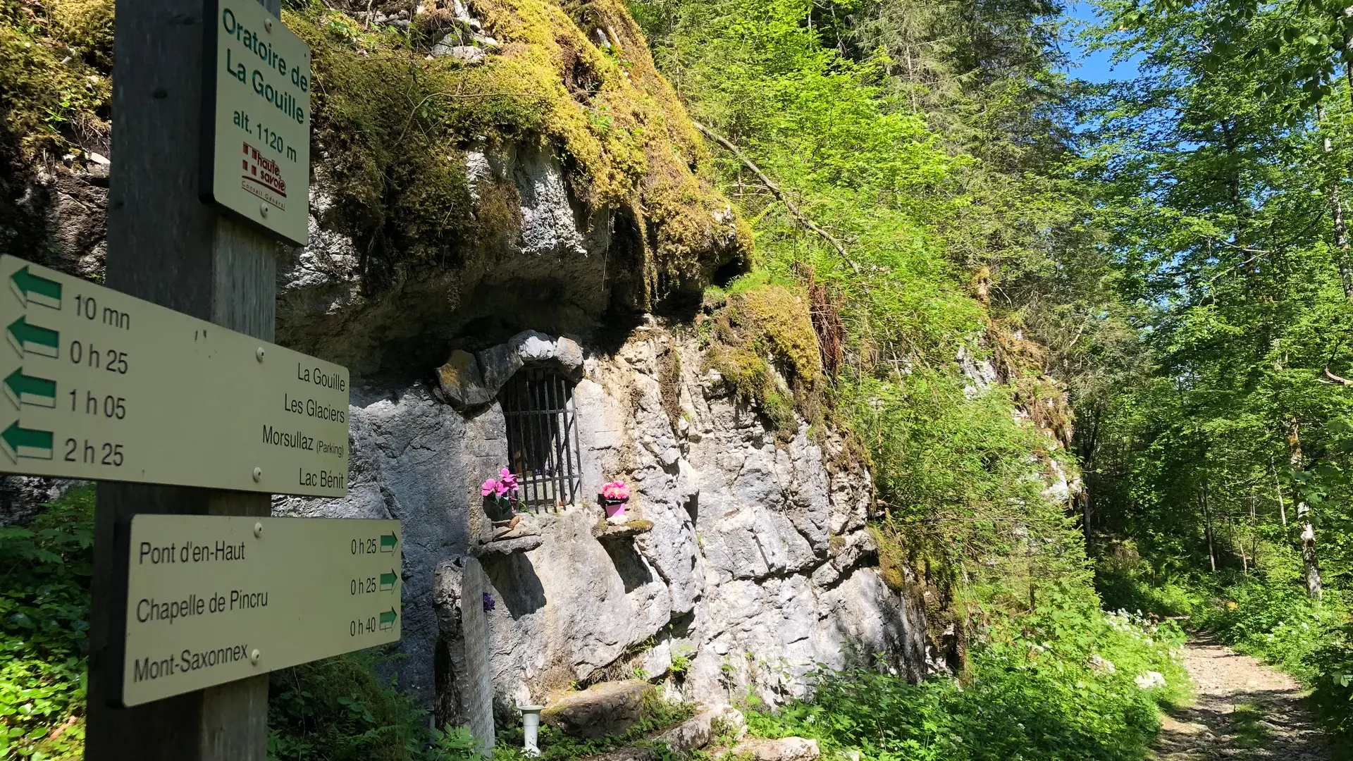
From the Pincru Chapel to La Gouille: 40 minutes. From the parking lot, follow signs for “Les Glaciers,” then for “La Chèvrerie – Les Oulettes.” The road takes you to the farm (where you can buy cheese). Take the trail on the left in front of the cheese shop until you reach the bridge. Once at the bridge, take the trail on the right, then follow the path that climbs steadily through the forest to the La Gouille wayside shrine. It opens onto a small road marked “La Gouille.” Alternative route: take a round trip to Les Glaciers (1 hour round trip) From La Gouille to La Pellaz: 45 minutes. Follow the road to the left, passing in front of the inn. When you reach Montain E-park (motorcycle track), take the path on your left that runs alongside the mogul course, then rejoin the route you took on the way up.
Further information on localisation
Further information on localisation
From Cluses, take the D4 toward Le Reposoir. Drive through Scionzier, then at
the intersection, turn right onto the D286 toward Mont-Saxonnex. Drive through the
village, passing the Le Jarbay vacation resort and the school. Park
in the parking lot in front of the Pincru Chapel.
Additional rate information
Hiking maps are available for purchase at the tourist office.