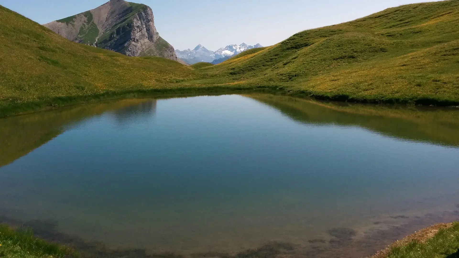
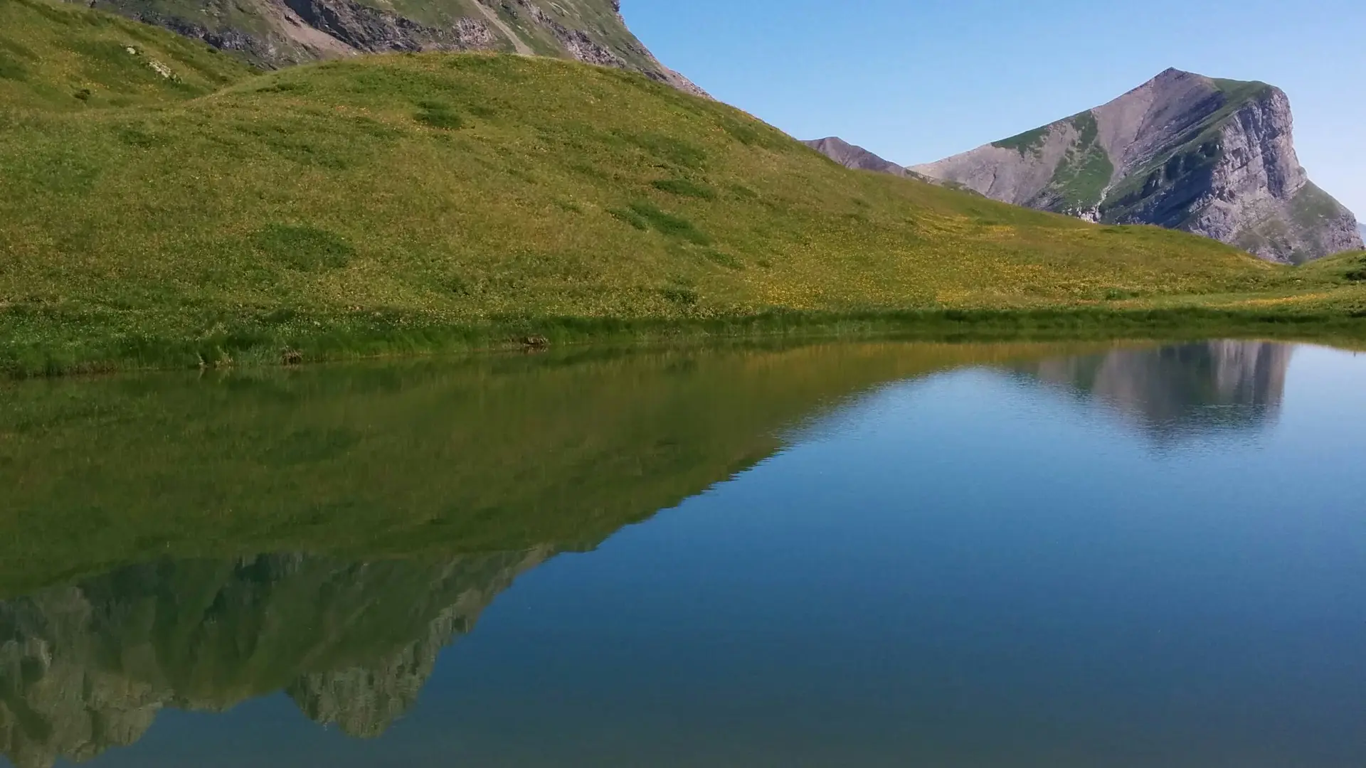
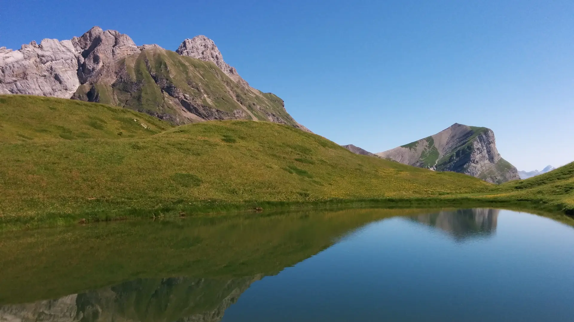
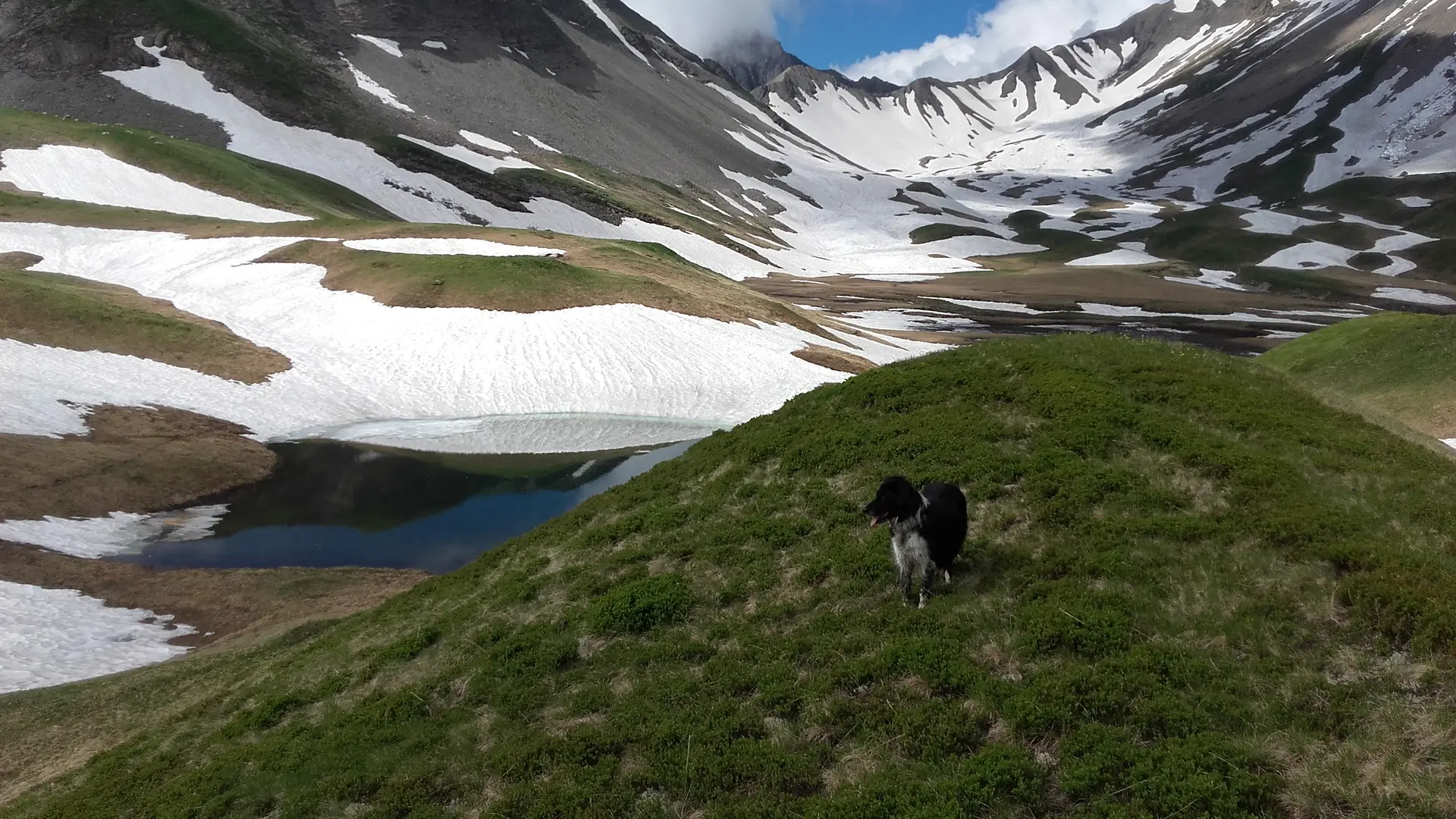
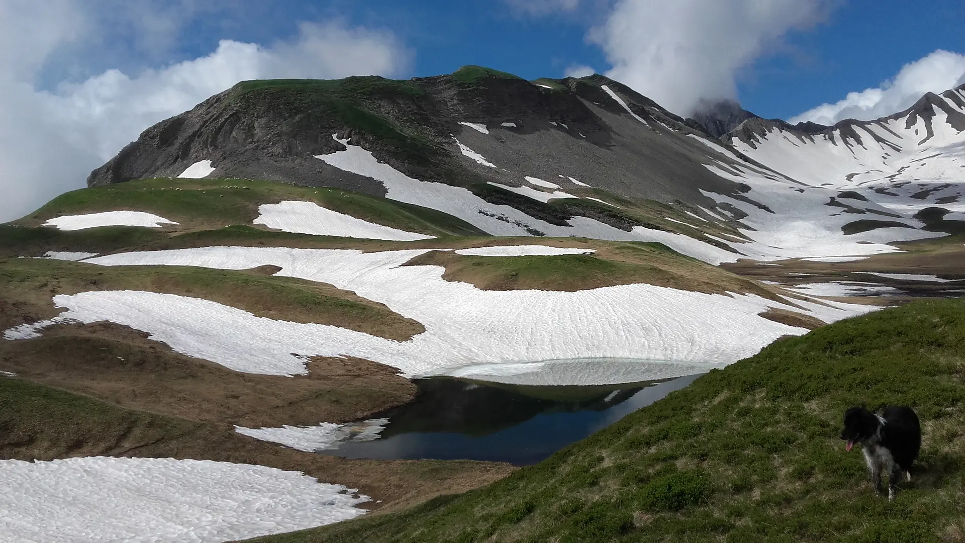
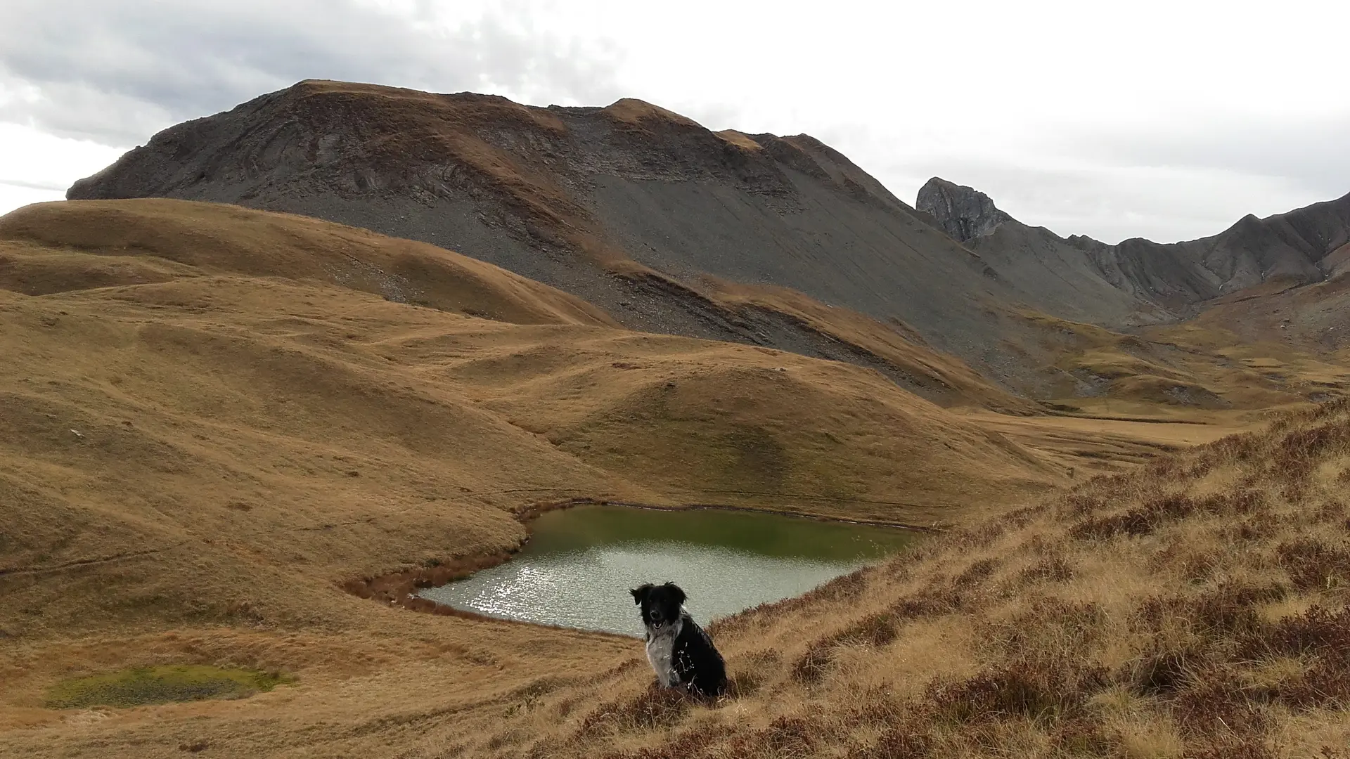
At the heart of the Aravis, Gouille des Fours offers a wild, unspoilt landscape dotted with small pools and wetlands. At 2,030 m, it is associated with many local legends and takes on an almost mystical atmosphere when shrouded in mist.
The Fours valley forms a vast high-altitude valley in the heart of the Aravis. Lush and green, it is crossed by numerous streams and dotted with small pools and wetlands. The water then continues its journey via the Fours waterfall before joining the Fours Torrent.
Gouille des Fours, the largest of these pools, lies within a landscape where high-altitude meadows contrast with the more rugged, rocky slopes of the surrounding peaks. The valley therefore offers a remarkable diversity of natural habitats and landscapes.
But when mist descends over the valley, the scenery changes dramatically. The peaks gradually disappear, the contours of the landscape fade, and an almost mystical atmosphere takes hold. This unique setting naturally fuels the imagination and echoes the many legends associated with Gouille des Fours.
Shaped by water and the surrounding mountains, this valley is a remarkable natural area where high-altitude meadows, pools, wetlands, streams and waterfalls come together.
This approximate description is given to you for information but engages only the responsibility of the hikers.