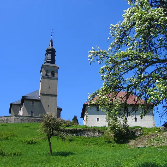
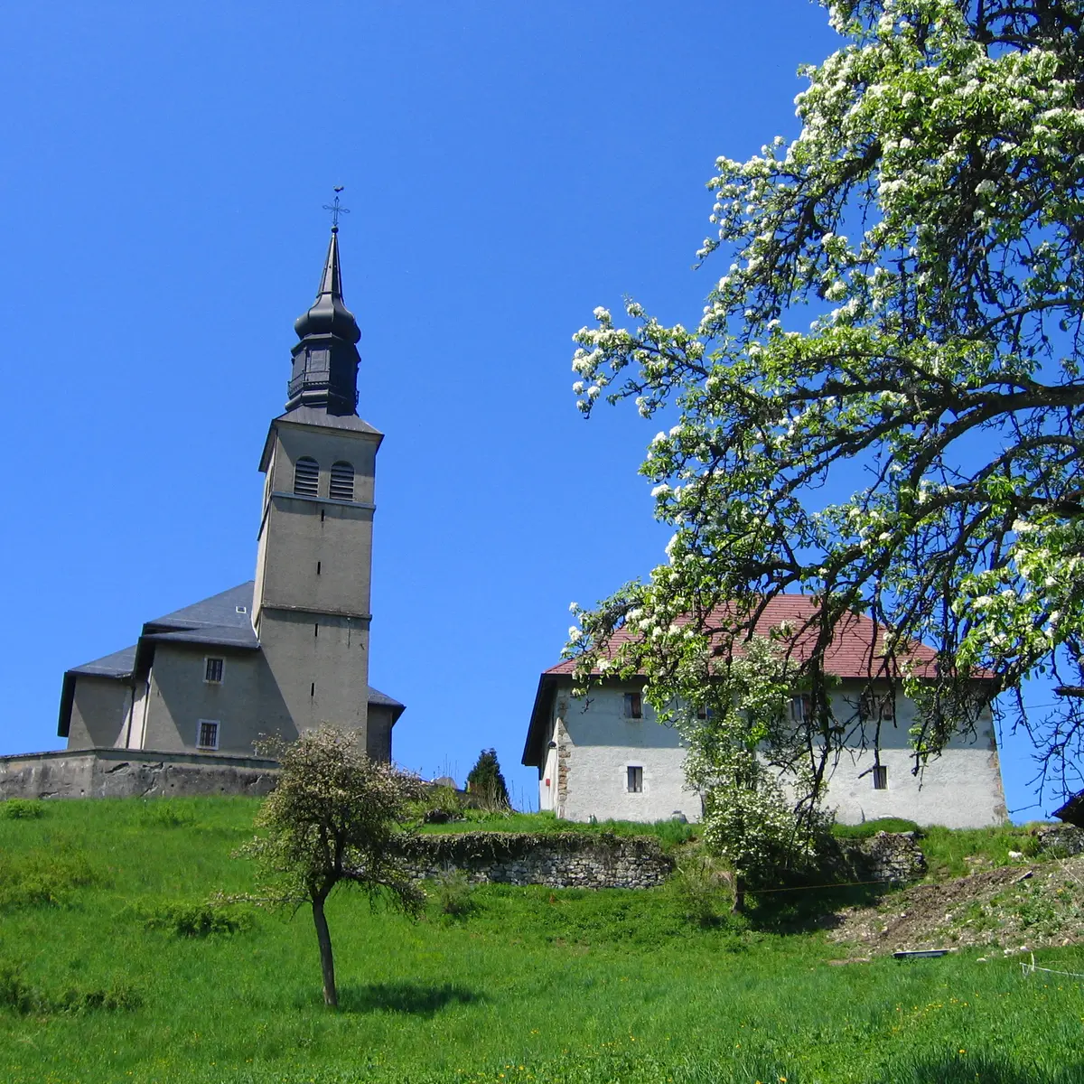
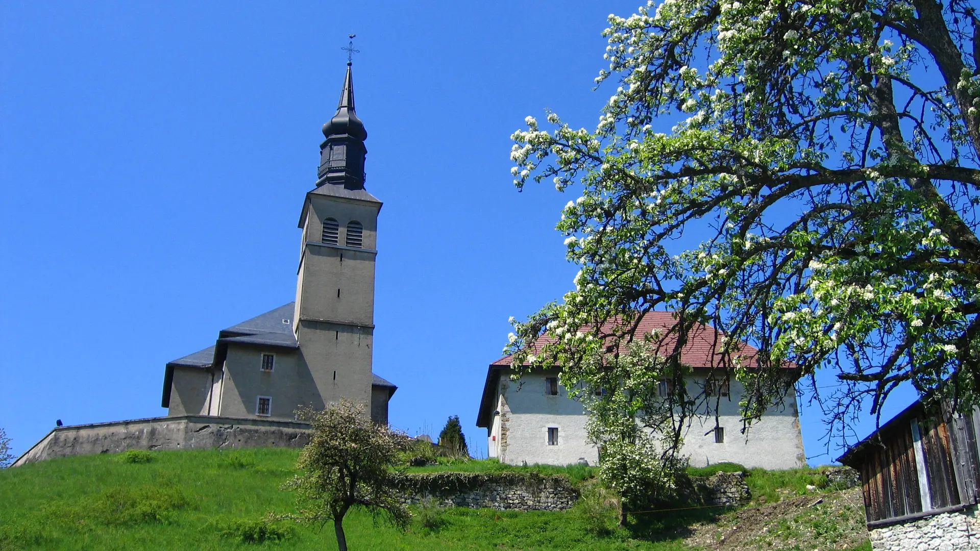
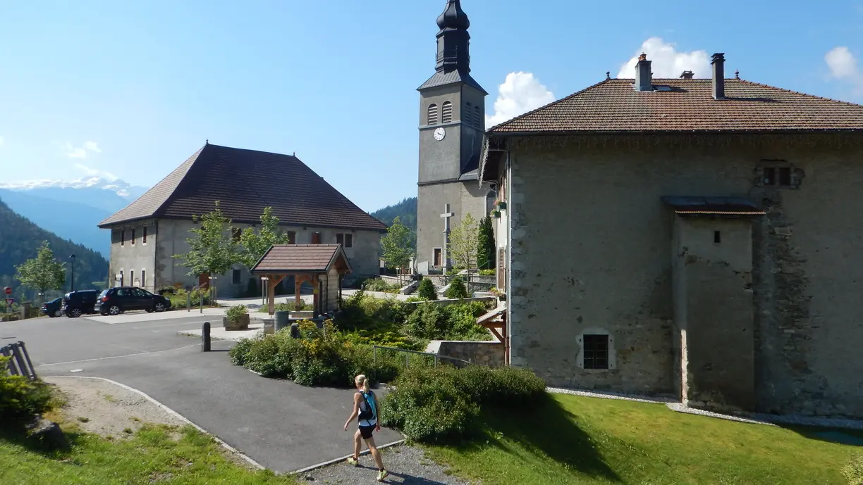
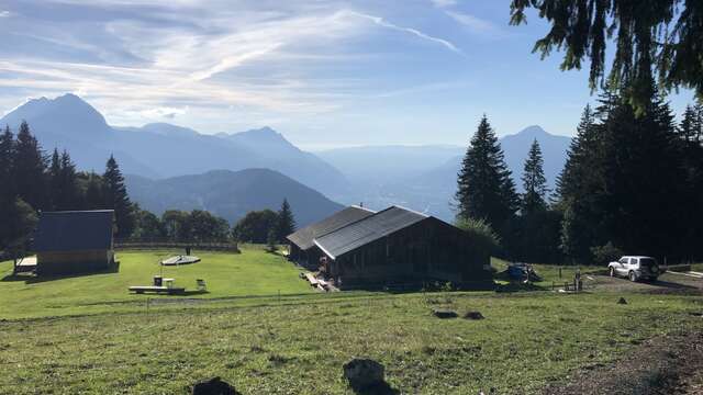
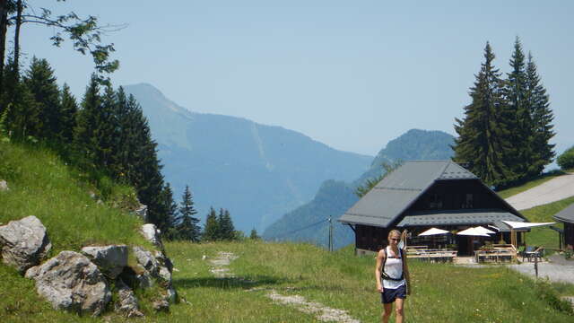
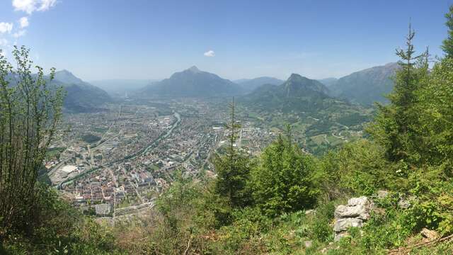
A nice walk in the middle of the hamlets of the village, ideal for the children with a nice view on the valley of the Arve and Bargy.
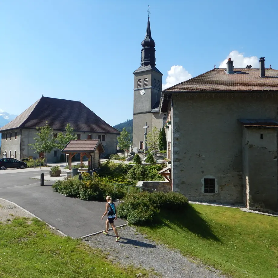
Step-by-step guide : From the city hall to "Chez Bouvier" : 25mins From the city hall, take the direction of "La Joux par Chemin du Jourdil". The path climbs along a small stream and goes downhill to meet the road in a turn. At the sign "Chemin du Jourdil", go downhill on the paved road to enter the hamlet of "La Joux". In this hamlet, at "La Croix de la Joux", turn right to go downhill on the road of la Joux and cross the departmental road following "Le Pont de la Motte par Chez Bouvier" (a bridge). Follow the departmental during 50 meters toward the church. Take the path on your left in the field following the marking sign in front of the house. Cross the fields and follow the marking signs until "Planey" and the sign "Chez Bouvier" From "Chez Bouvier" until "Pont de la Motte" : 10mins At the sign "Chez Bouvier", follow the path on the left under the house toward "Pont de la Motte (10 minutes)". The path crosses the road several times to take you to the bridge "Pont de la Motte". Frome 'Pont de la Motte" to Saint-Sigismond city hall : 1h15mins At the bridge, retrace your steps until "Chez Bouvier" to take the direction of "Saint Sigismond par Croix du Chêne (0h55). The path goes uphill and crossed 2 roads until Croix du Chêne (cross). Then, take the direction of "Saint Sigismond (10 minutes)" on the road and a flat path.