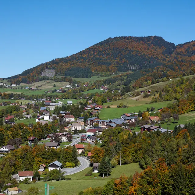
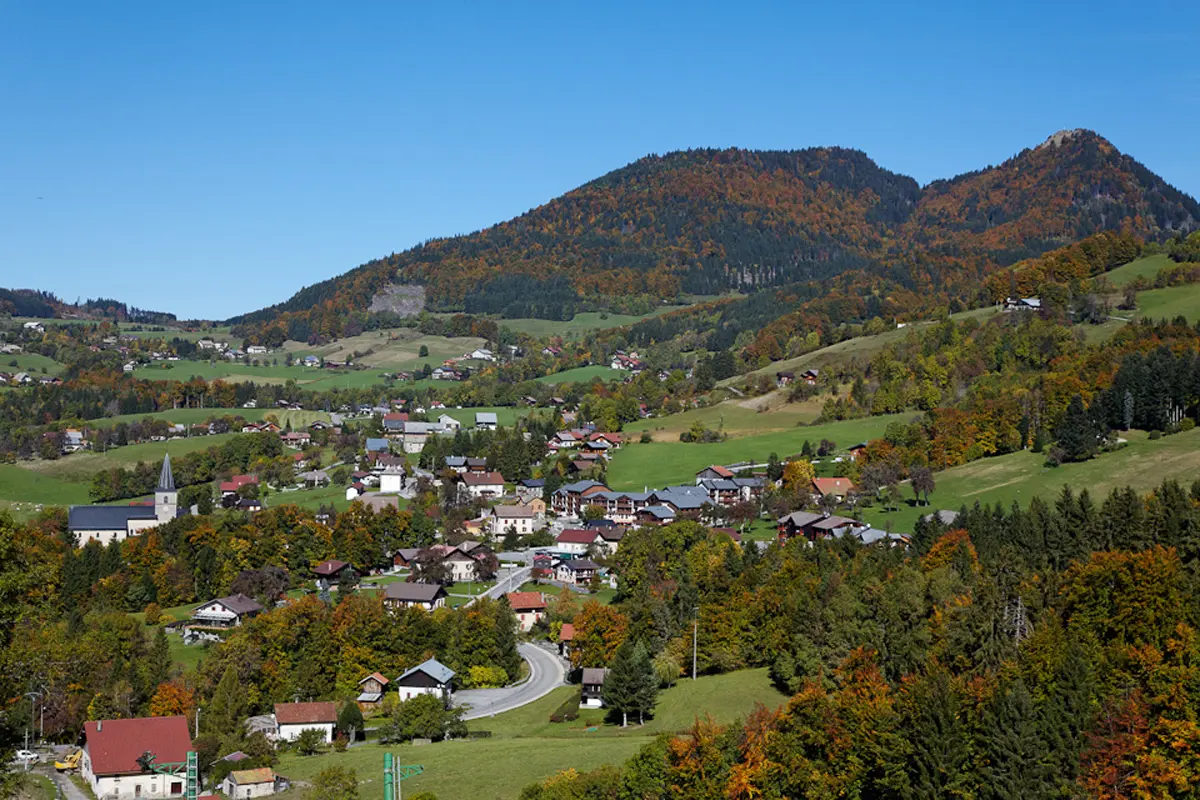
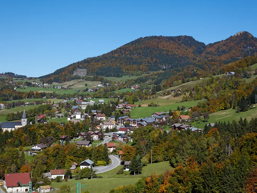
Hiking on the adret (sunniest) side of Habère-Poche, discovering hamlets and the superb Turche wood.
Along the way, you'll come across reservoirs and the Habère-Poche water catchment area. This water comes from Mont Forchat just above, the water tower of the Chablais region, supplying nearly 30,000 inhabitants with drinking water.
Further information on localisation
Further information on localisation
Parking on the village square or next to the church