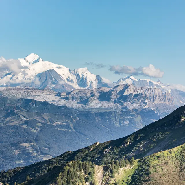
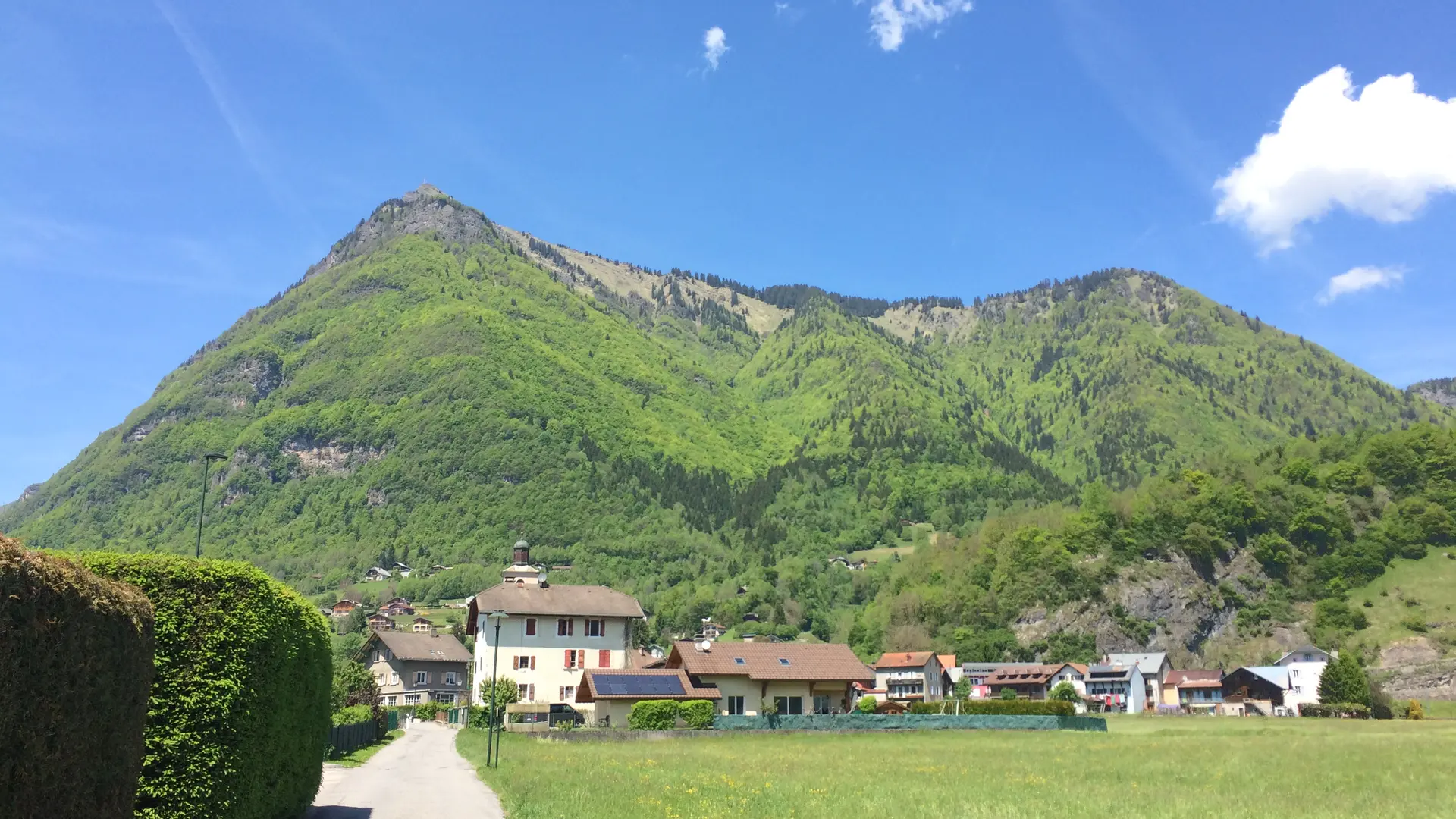
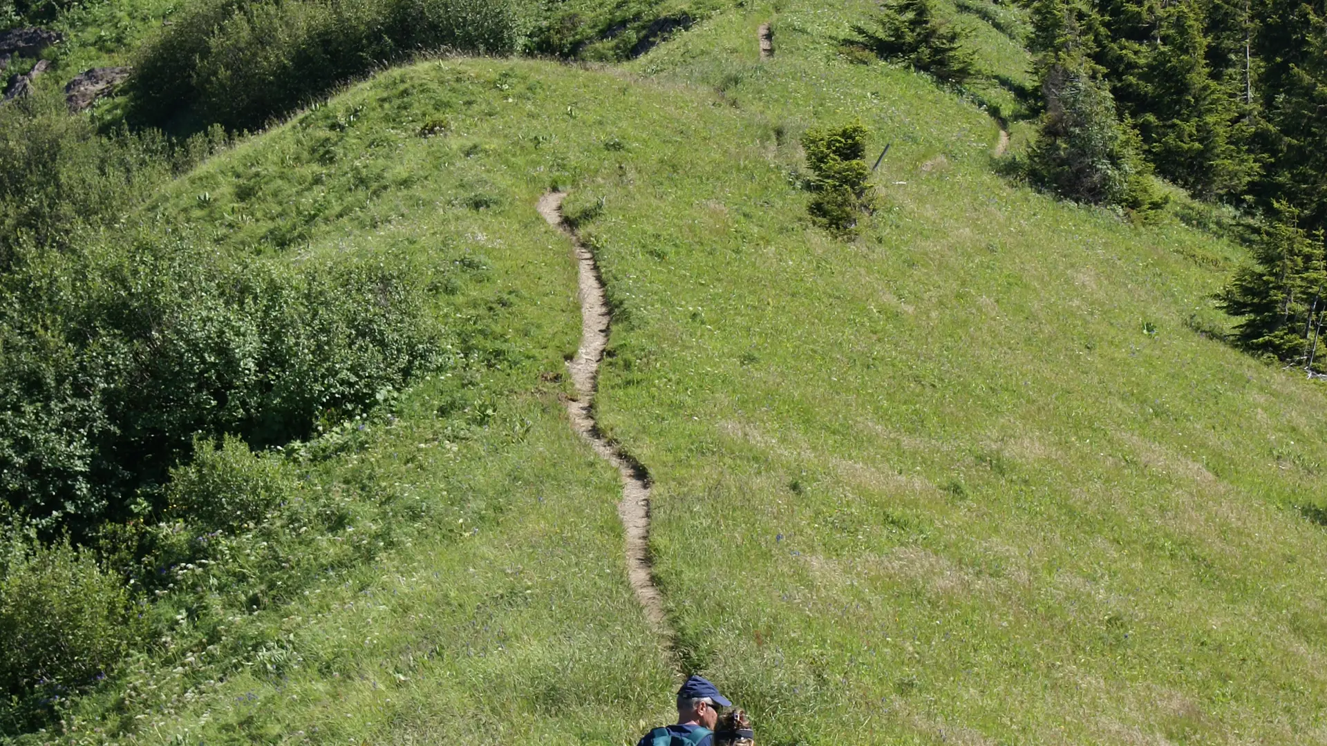
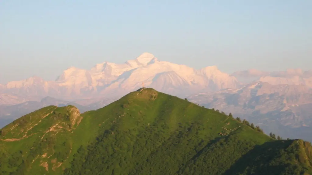
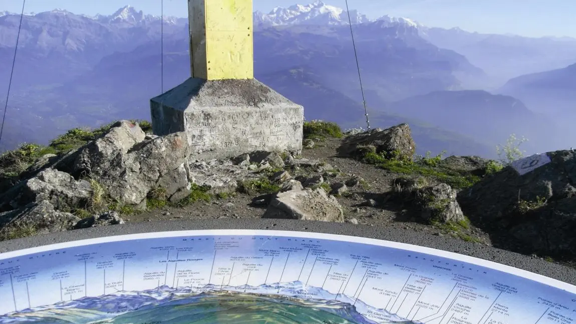
A mid-mountain trail offering remarkable views of the surrounding valleys and mountains, including Mont Blanc, the Jura, and the Bornes-Aravis...
The loop offers numerous views of the Chablais and Mont Blanc mountain ranges, as well as the peaks of the Haut-Giffre and the Aravis. A stop is a must right at the start of the loop, at Le Planey, where there’s a small bench and a breathtaking view of the Haut-Giffre peaks. At the summit of Pic de Marcelly, a map post makes it easy to find your way!
Choose gear that's appropriate for your skill level and the weather. Stay on the marked trails.
Tips
You can complete the loop by going down via Lac de Roy.
Further information on localisation
Further information on localisation
Planey Parking Lot, Praz de Lys. When arriving at Praz de Lys from Taninges, turn left twice, then at a place called Canevet, continue on the small road to the right.