This walk reveals the Vuache area's rural heritage - churches and villages, old farmhouses, agricultural traditions and legends.
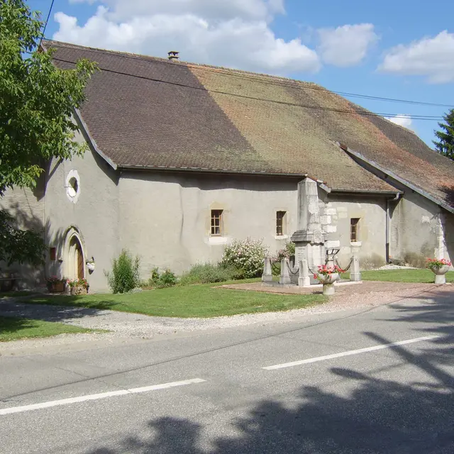
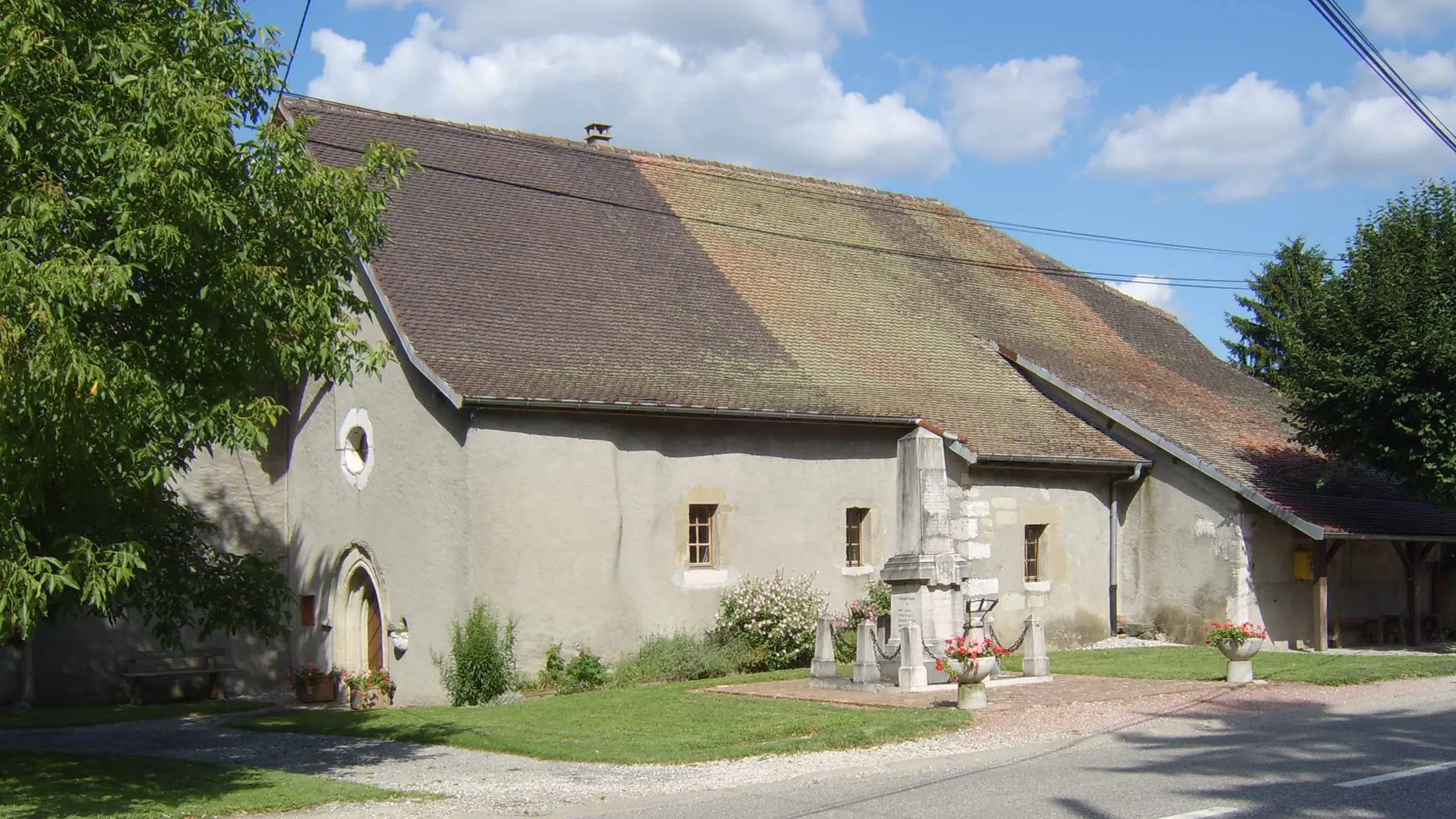
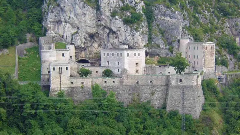
The foothills of the Vuache reveal their traditional character in a rich unspoilt natural environment. From the village of Chevrier (car park), there is a signposted 6.5 km footpath. Sightseeing: the village of Chevrier and its 15th-century chapel, the ruins of Pomel mill, the passage known as Défilé de l'Ecluse, migratory birds, Caesar's wall, the River Rhône, the Domaine des Templiers, the chain-operated ferries, the bread oven in the hamlet of « Chez Gros », the Carnot Bridge and the orchards of Haute-Tige.
A free leaflet entitled "3 sightseeing trails in the Vuache" is available on request from the Syndicat intercommunal d’Aménagement du Vuache (SIAV).
Reference: 1:25,000 map of footpaths in the Vuache area, IGN map of "Bellegarde sur Valserine" (tourist office) and FFRP trail guide entitled "Pays du Salève et du Vuache.... à pied".
Recommendation: Hiking boots and appropriate clothing in wet weather. To avoid disturbing the wildlife and farm animals, please stay on the footpaths and keep your dogs on a lead.
Tips
Fort l'Ecluse and JP Bordon, 74520 Chevrier - Farm gate sale of apples, pears and fruit juice.
Further information on localisation
Further information on localisation
Information panel at trailhead.
Parking at Chevrier town hall