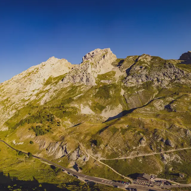
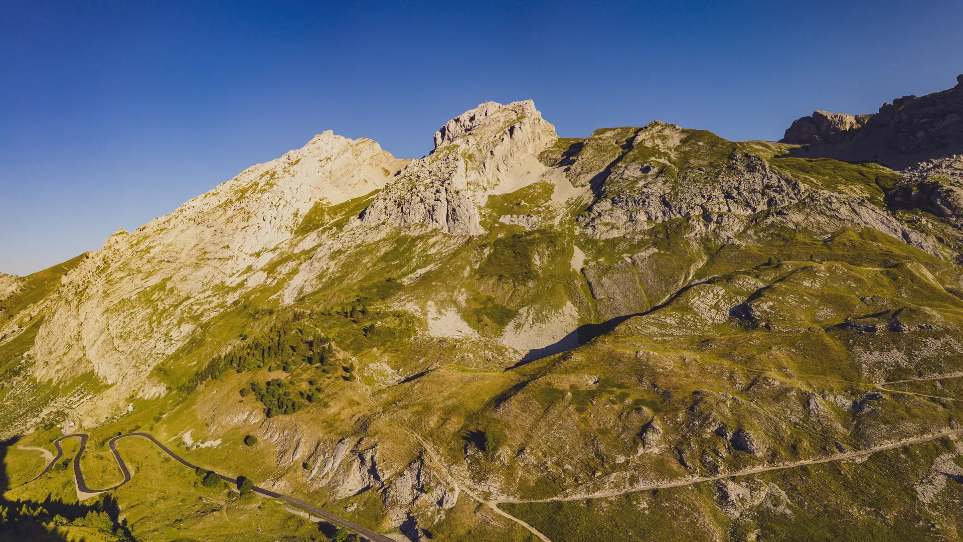
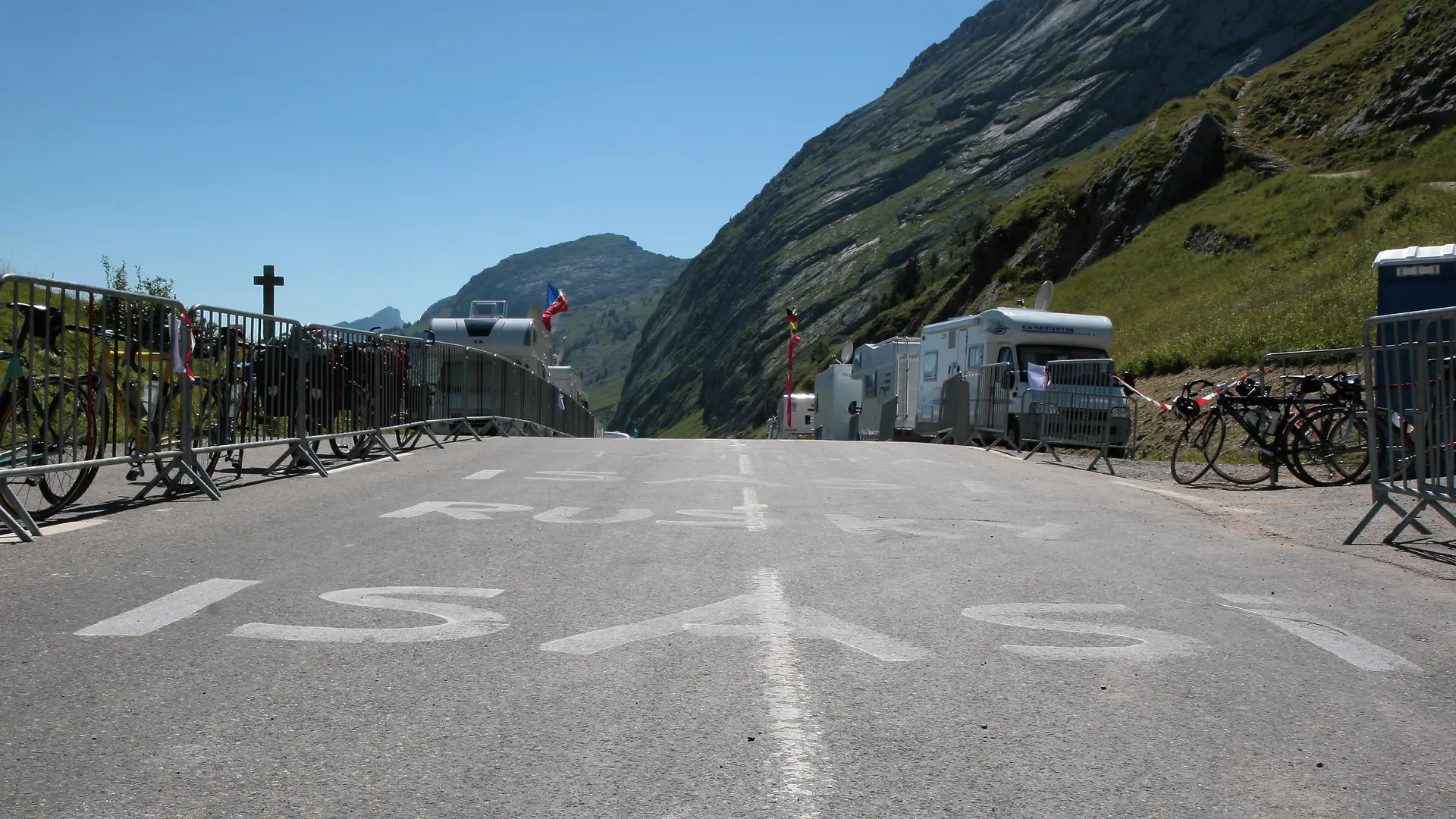
A famous "Tour de France mountain pass." This north-facing slope is the most challenging. Take this opportunity to stop for a break—and why not visit the Chartreuse du Reposoir—before tackling the toughest stretch.
There are some fairly steep gradients early on, ranging from 6 to 8% over 4 km, and especially the final climb about 4 km from the pass, with a grueling mountain-side road and a 10% gradient recorded on the last 1,500 meters of the straight stretch.
Further information on localisation
Further information on localisation
From Cluses: Take the D1205 and the D26/D4 roundabout. Take the A40 highway to Exit 18 (Scionzier). Nearest train station: Cluses.