



Preise
Freier Zugang.
—
Öffnungszeiten
vom 1 März 2026 bis zum 30 November 2026 - Geöffnet jeden tag
Nur bei günstigen Wetterbedingungen
Lokalisierung
Plan interactif : 1 lieux répertoriés.
- Lieu sans nom
Gesprochene Sprachen
Gesprochene Sprachen

Zugang
Zugang
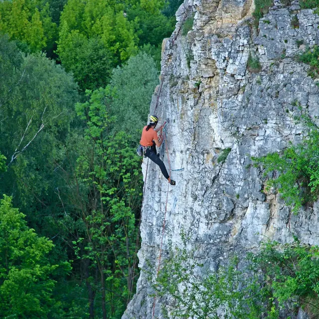
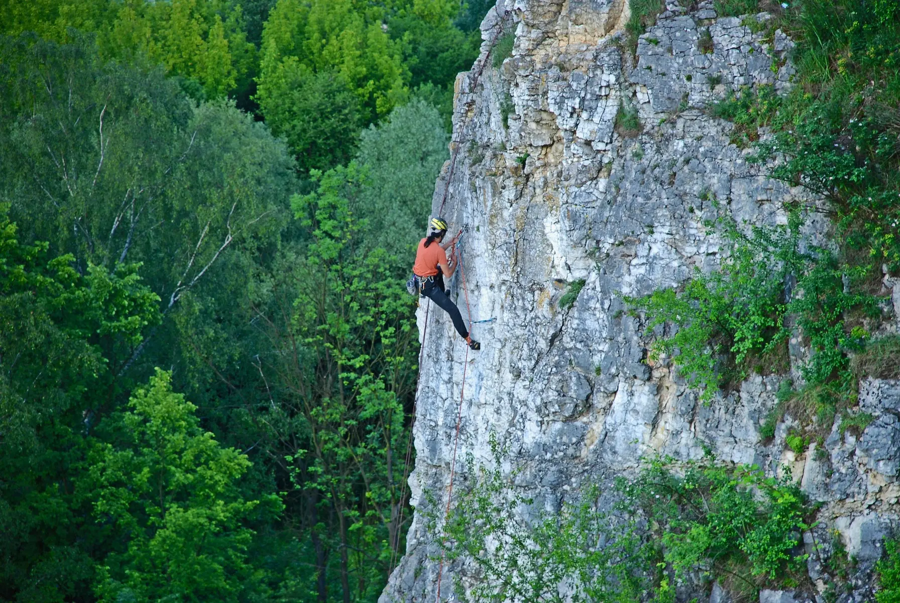
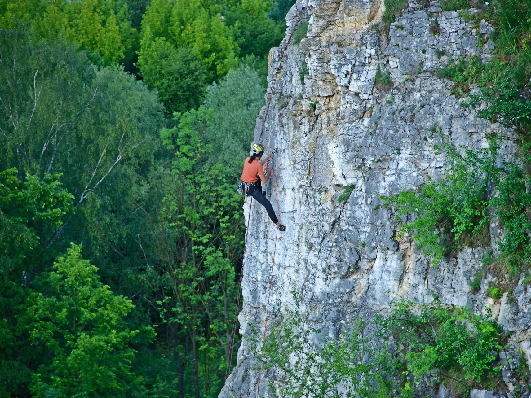
- On the road between Marignier and Châtillon-sur-Cluses, head toward Rontalon/Le Crot. Follow the road uphill until you reach a ridge separating the two slopes (a place called “Sur le Coux”). Park a little further on in the hamlet. Follow the signs for “Mont Orchez” (hiking trail sign): a slightly downhill paved road, then a vehicle-accessible path, and finally a good trail that quickly becomes a fairly steep climb. After about 30 minutes of walking, you’ll reach a fork in the trail, where it’s roughly level, at the base of a rocky outcrop. Continue slightly southward; the trail descends a bit. 15 meters before a large scree field, leave the trail and head uphill to the right. A slope to the left leads to the start of the climbing routes.


