In the foothills of Mont Charvin, this hike completes the Tour de la Tulle. Between lakes, mountain pastures and peaks, the route takes you through a variety of atmospheres and magnificent mountain landscapes.
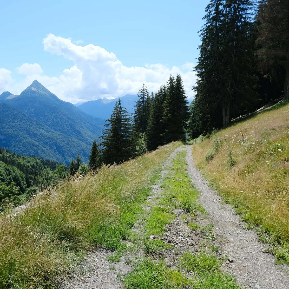
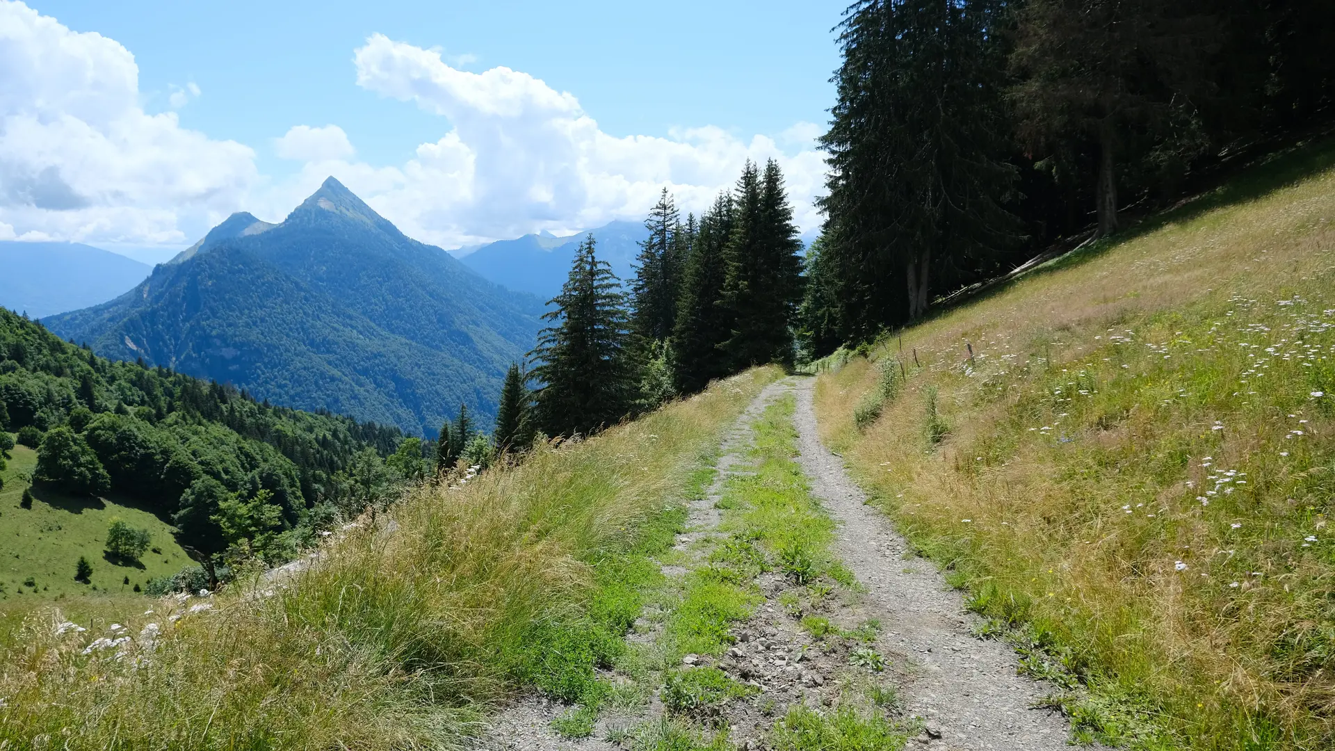
On this rather sporty hike, you'll cover the foothills of the various peaks surrounding Mont Charvin via the cols.
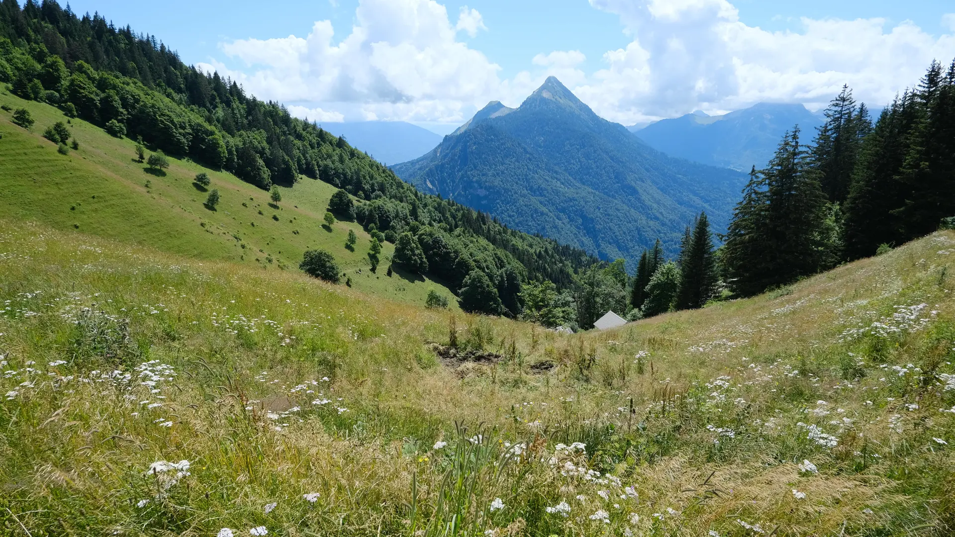
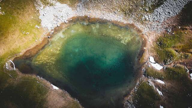
From Sous l'Aiguille de Manigod, the route follows the valley of the Sources du Fier, whose waters rise at the foot of the Charvin's north face. This source takes the form of a small cirque, within which nestles the Lac du Charvin.
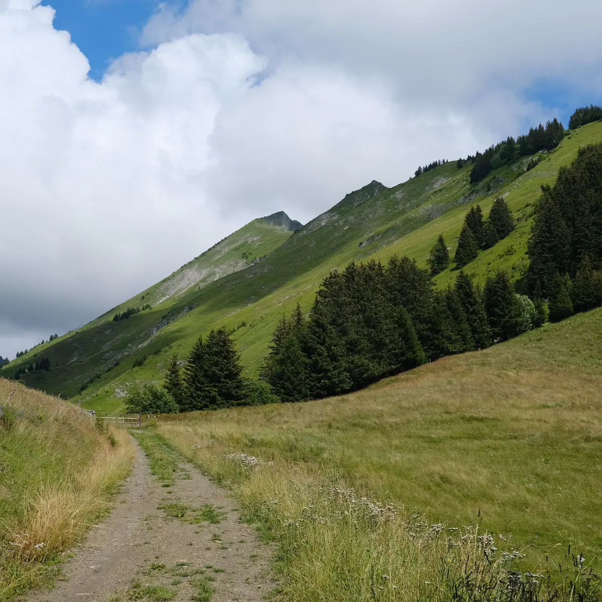
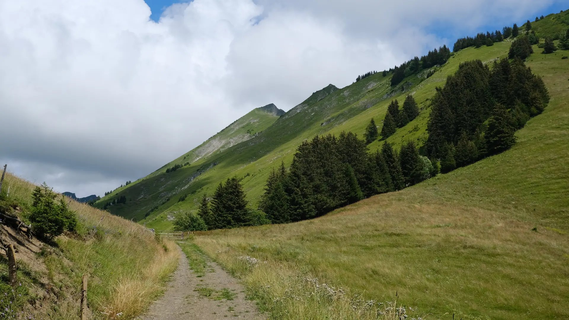
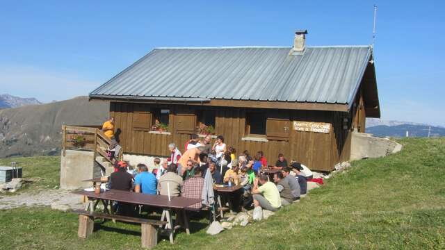
The route around the summit of the Tulle (2014 m) is via the combe of the Col des Porthets. Along the way, you'll walk through the Charvin mountain pastures, passing through Aulp de Marlens, Sur le Freu and Aulp du Fier. To the sound of clarines, you'll discover where Reblochon cheese is produced.
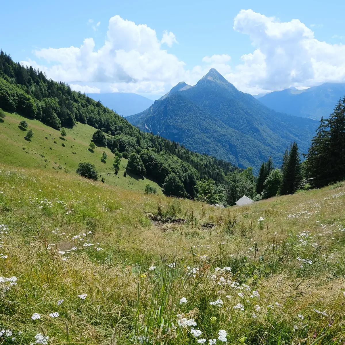
Along the way, you can admire the Tulle summit, Mont Charvin and the Goenne ridge. There are numerous views of the surrounding peaks: La Tournette, Le Sulens and the Aravis massif.