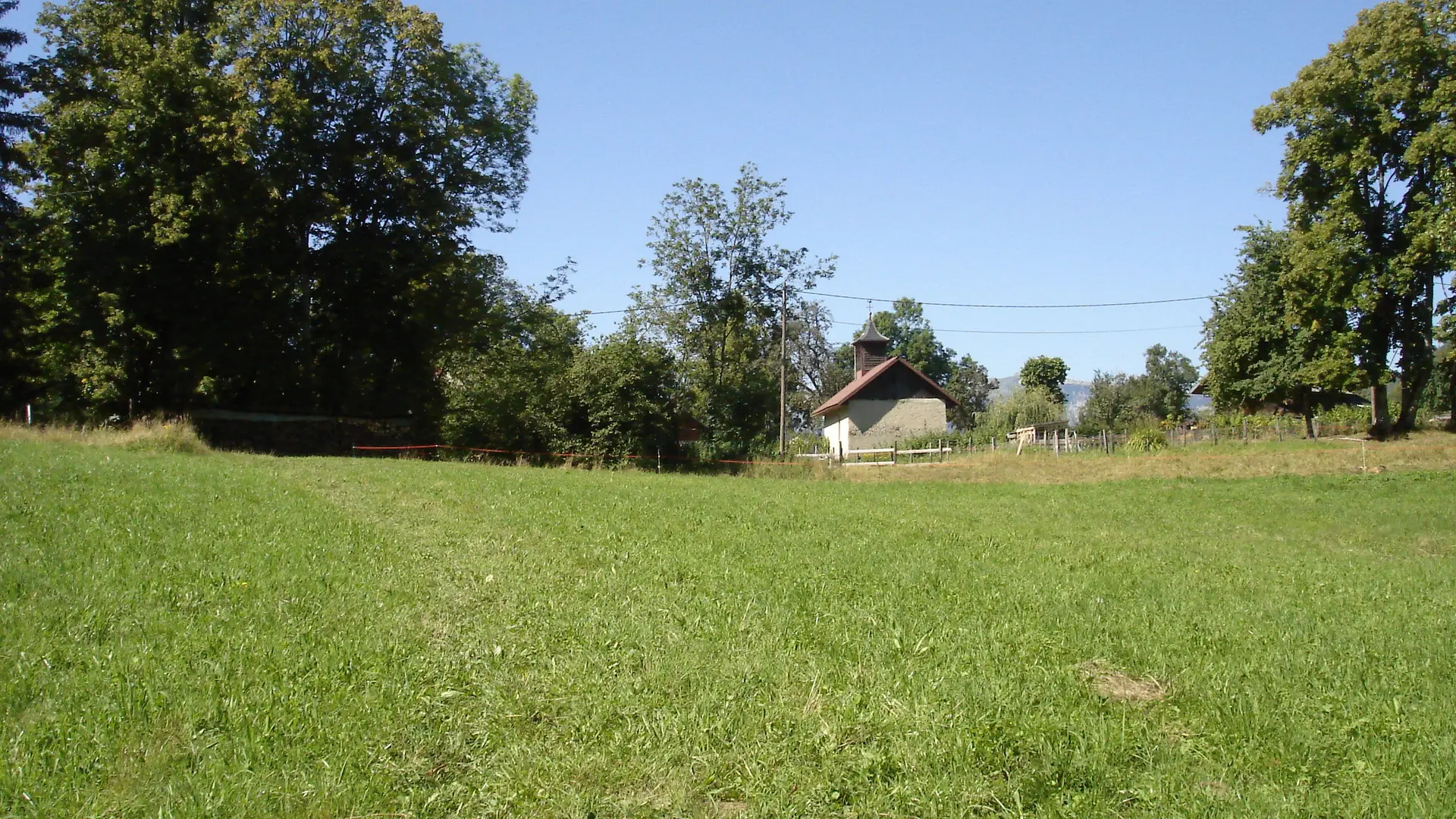
The hamlet of Nanbellet lies in the district of Saint-Ferréol. Its name is a combination of the words Nant, which means stream, and the family name Bellet, which is a diminutive of beau or beautiful.
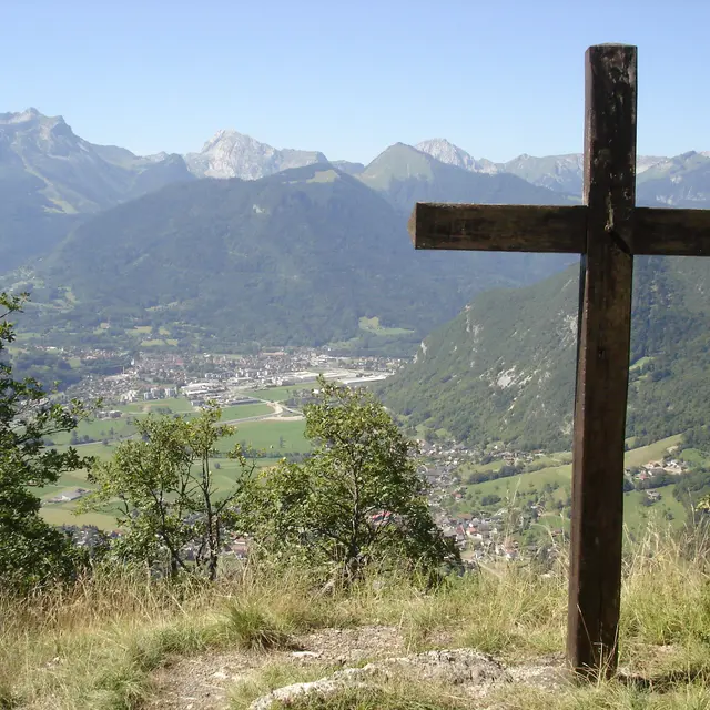
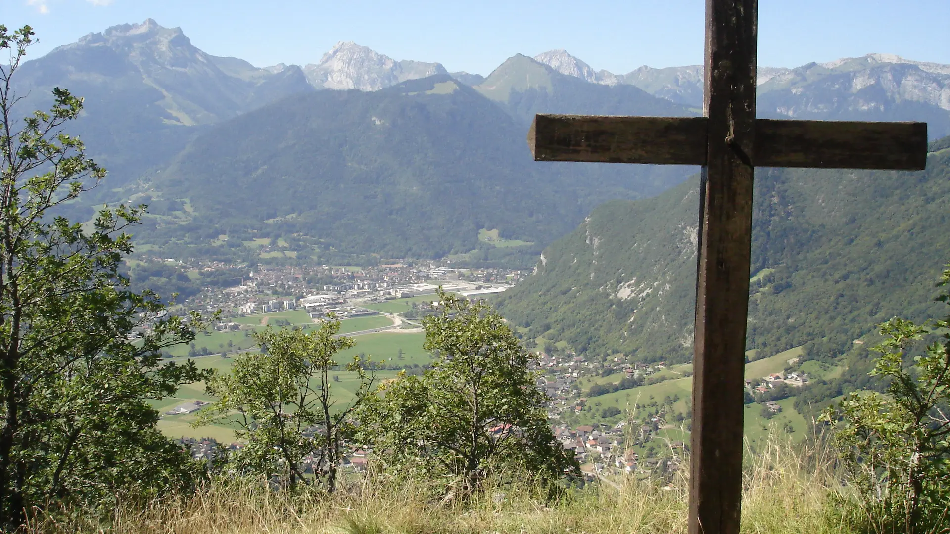
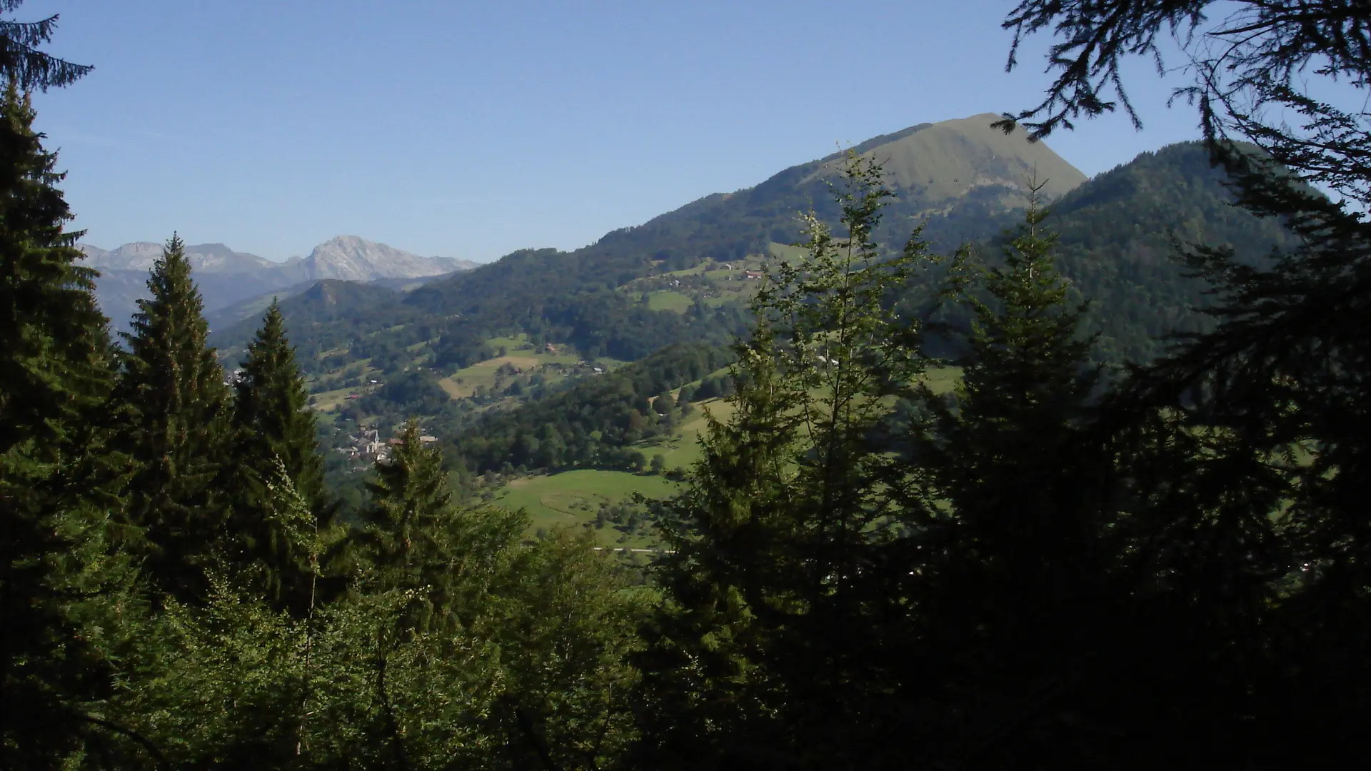
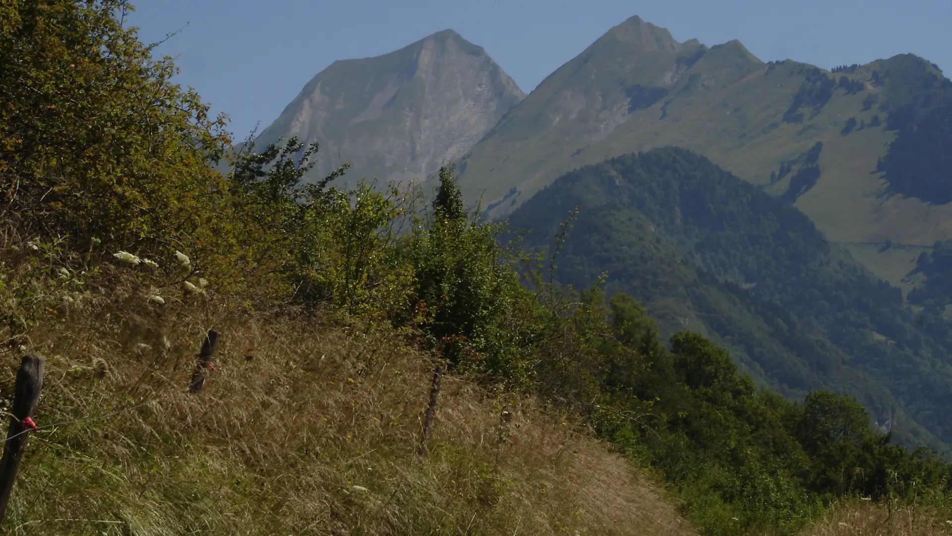
The name nicely captures the forest charm of this riverside walk, which provides numerous views of the southern part of the Bornes/Aravis mountains and of Mont Blanc. Take the time to visit this charming little hamlet and the chapel of Notre Dame de Grâce. From the car park, head right and go down the wide track to the hamlet of Nanbellet. Type of itinerary : circuit. Maps: IGN Top 25 n° 3431 OT Lac d’Annecy.
Whatever your hike, remember to pack cereal bars, plenty of water, sunglasses, sunscreen, a small first-aid kit, and clothing appropriate to the season and weather forecast.
Read more
Tips
Take time to visit this charming little hamlet and its Chapelle de Notre Dame de Grâce.