The wide variety and abundant flora and fabulous fauna make this worth a visit. Keep an eye out for chamois, mouflon and marmot.
Details:
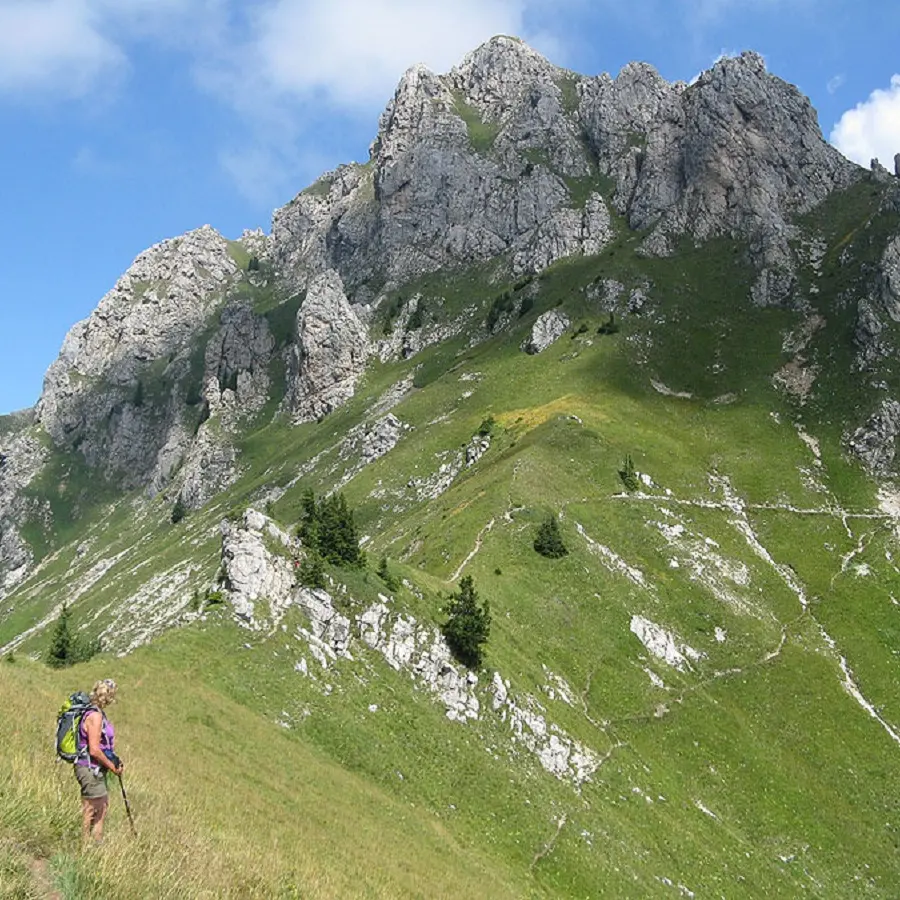
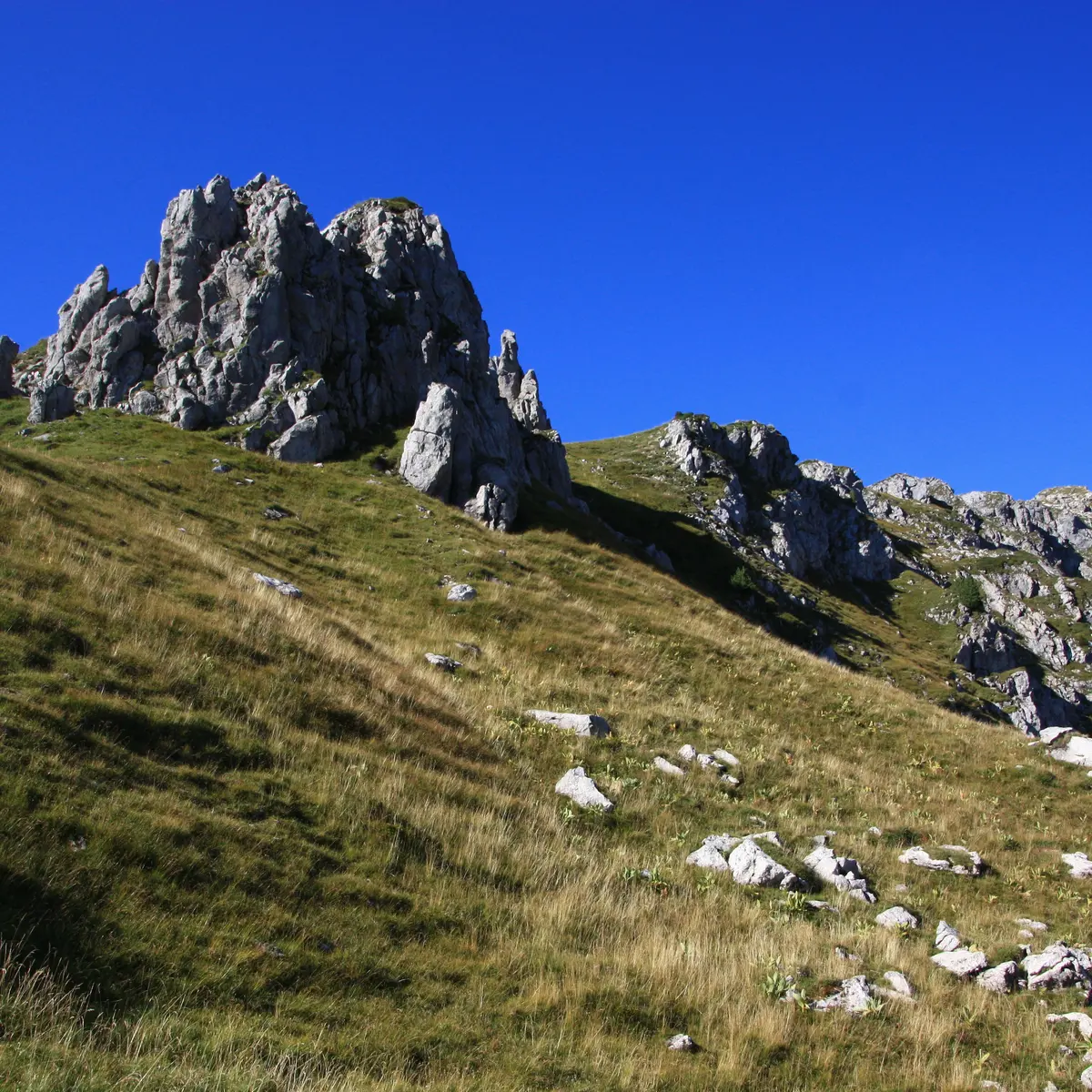
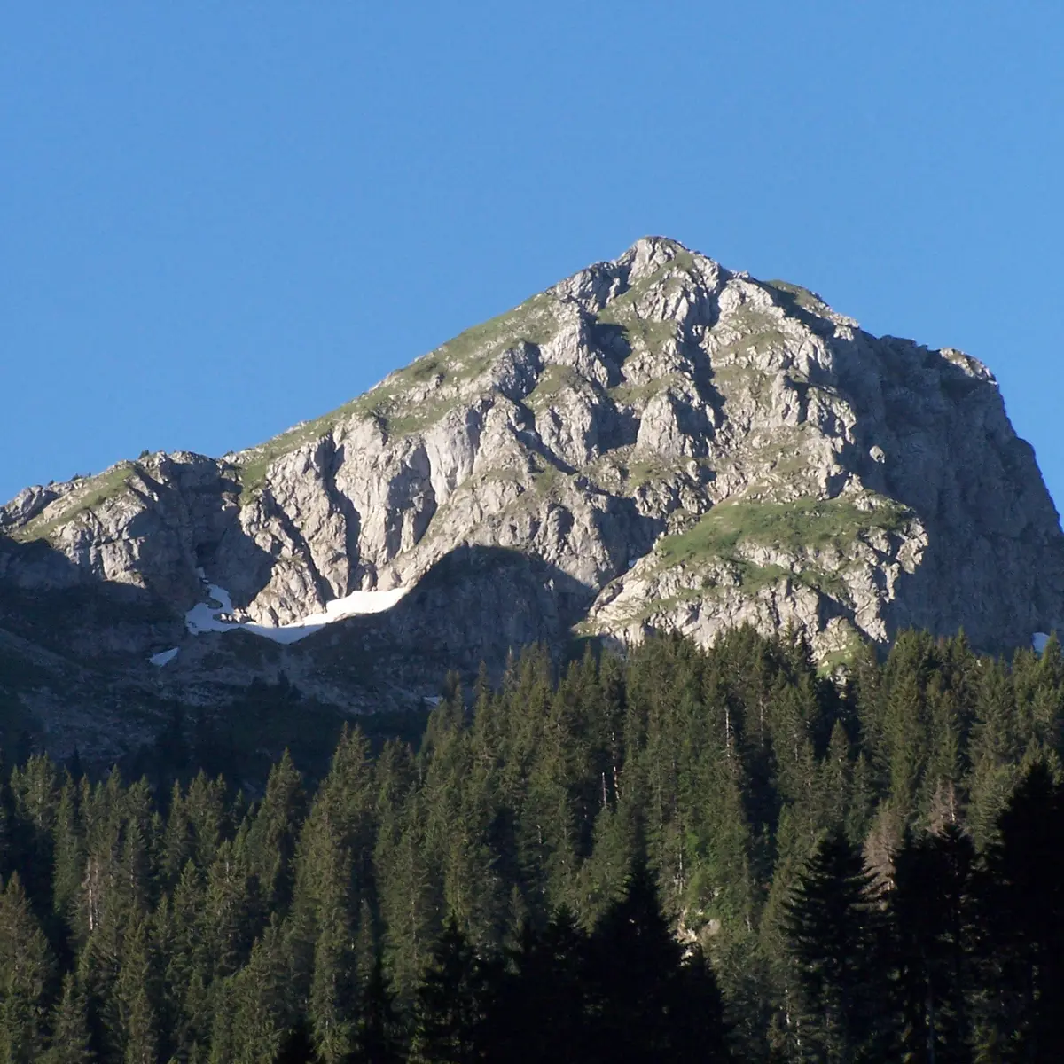
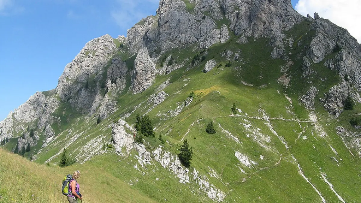
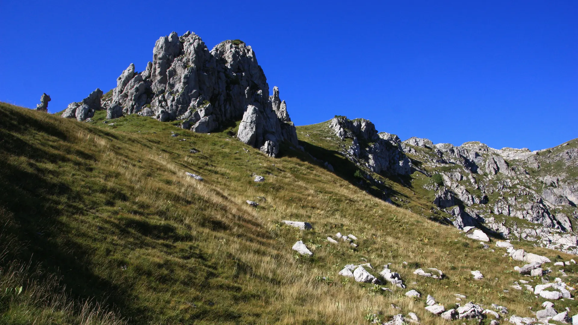
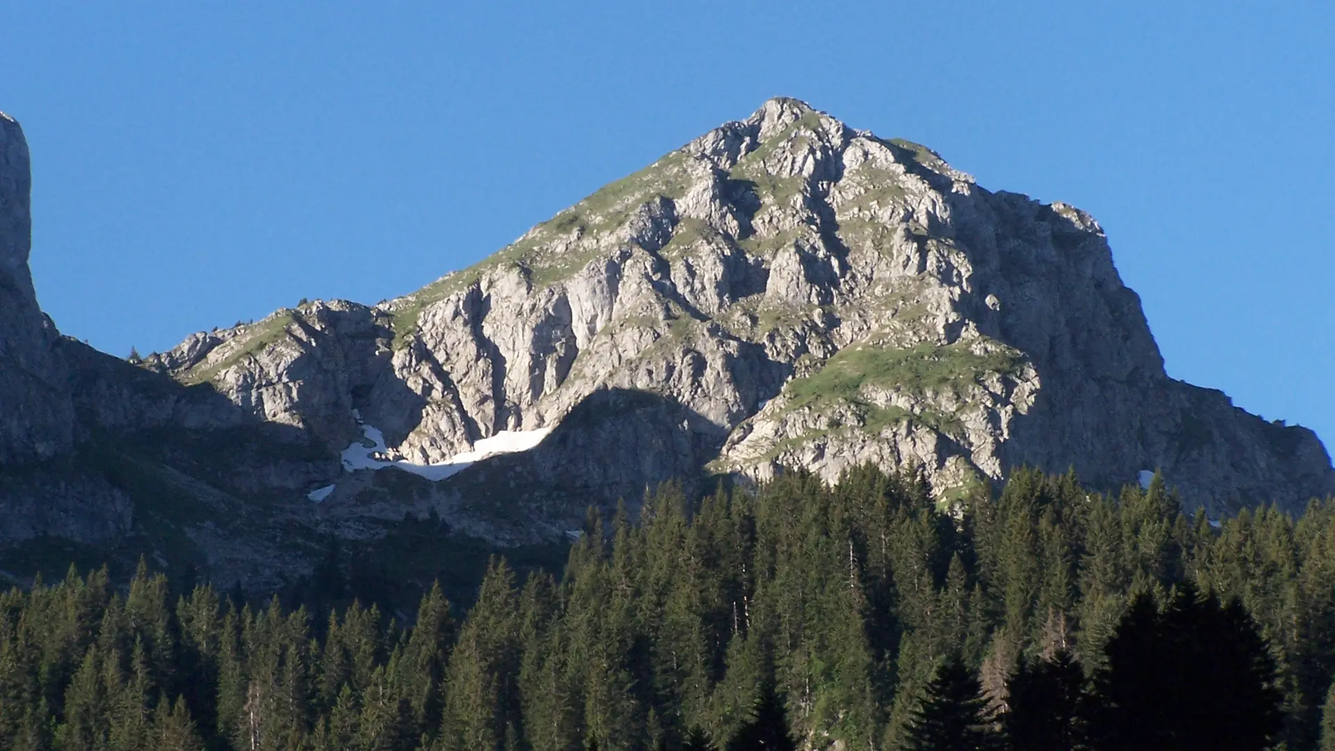
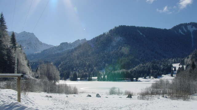
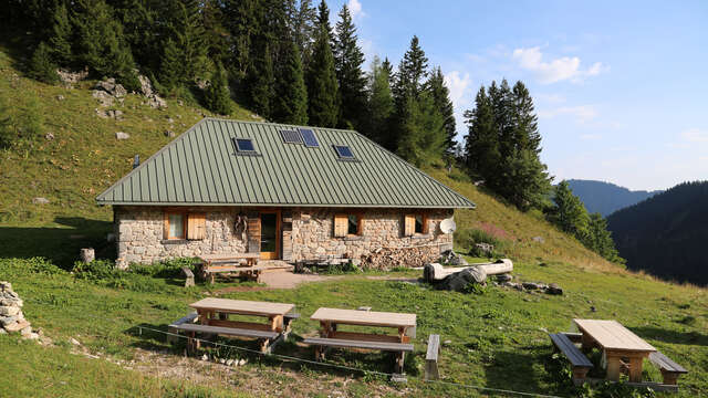
Follow the forest path on the right bank of the Brevon (sign). You’ll see the Finge mountain pastures then the Favières. Continue on the wide forest path to Chalune, Col de Foron. At the crossroads, turn right then cross the Brevon. The path snakes through a dense alder wood and large rocks. Further along there’s a little lake on the left (drinking water), evidence of man’s presence: this is the Petit Souvroz mountain pasture (1600m). Continue through this little valley towards Col de Foron on a steeper slope. Take a hillside path to reach Col de Chalune (1890m). The path branches off right around some rocks along the ridge to the peak of Chalune at 2113m (40 minutes from Col de Chalune). To get back, go back down to Col de Chalune. Follow a hillside path on the right and cross the little Fleurs de Rocailles covered thalwegs (avalanche trajectory) down to Col de Vesinaz. From here, turn right along a lovely little trail to Col du Jorat which opens onto Petétoz mountain pasture (1530m, drinking water). Walk through the pasture towards La Chèvrerie on a path amongst alpine sorrel. Go down the steep slope into the forest until you reach the end of the forest trail. Turn left onto the "old" path down through a spruce and beech forest to reach La Joux and the starting point.
Useful information: yellow then red and yellow markings.