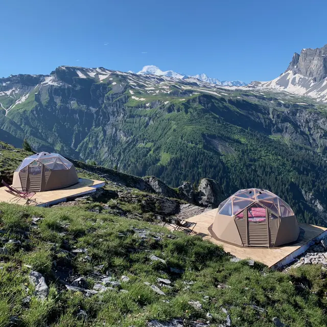
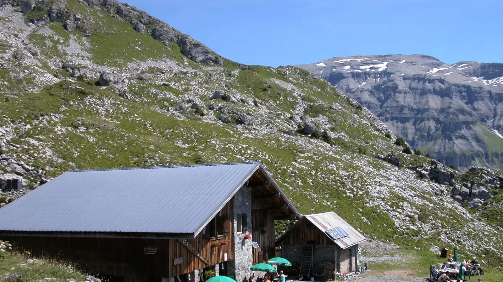
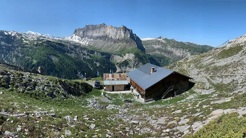
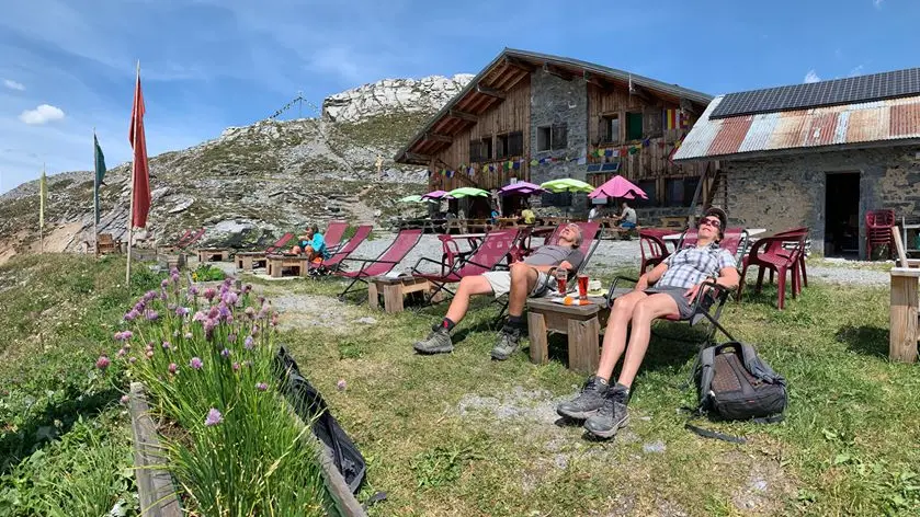
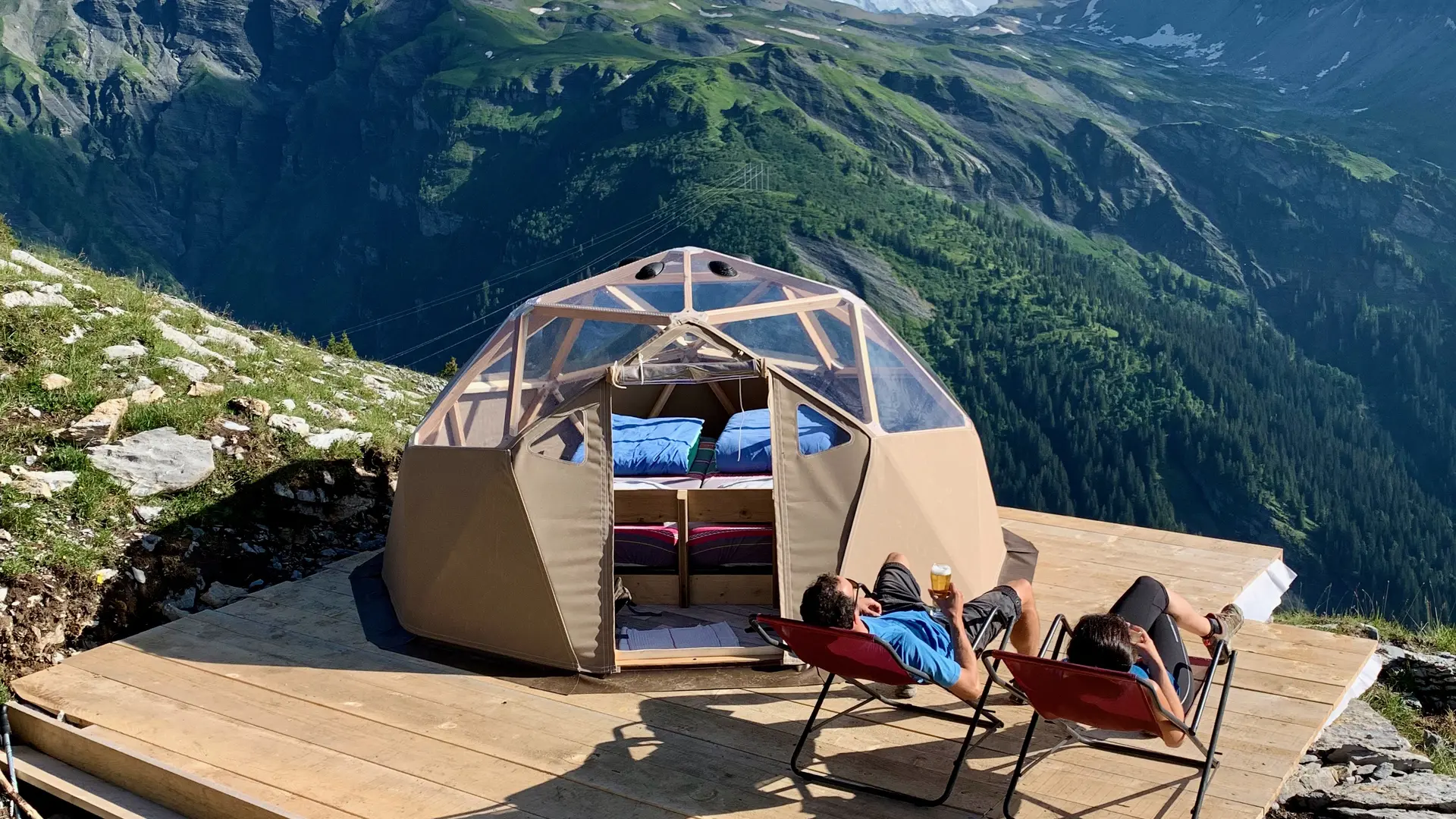
Grenairon mountain refuge

  • Refuge
Elevation : 1974m
Grenairon, 74740 Sixt-Fer-à-Cheval
Enjoy 360° panoramic views of Mont Buet, the valley of Anterne and the majestic Fiz mountain range with Mont Blanc in the background. The villages of Samoëns and Sixt and the Giffre Valley can be seen below.
It is a stage on itinerant tours or summits (Tour des Fiz, tour du Ruan, Mont Buet, Cheval Blanc, ...).
With family or friends, the Grenairon refuge is accessible to everyone, for the day or for an evening.
After the effort comes comfort! The caretakers offer you a menu of homemade dishes and desserts to perk you up.
To discover: La Chèvrerie de l'Alpage du Grenairon offers these cheeses made on site.

The refuge has a room open in winter.

Catering: Fondant with chestnut cream, stuffing.

Mandatory reservation.
  • Tips
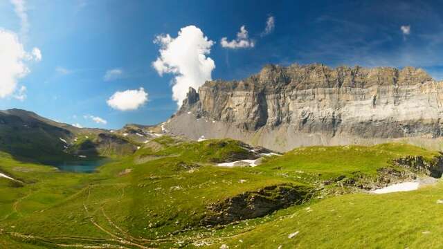
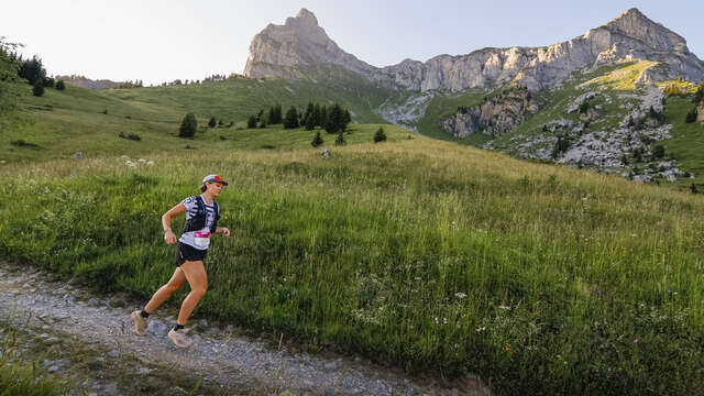
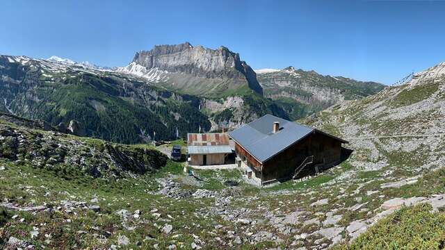
    Summits: Le Mont Buet (3100m above sea level / 4h30 / 1150m drop) - Le Cheval Blanc (2831m above sea level / 4h / 900m drop)
    Day hike: Les Frêtes du Grenier (1h / 400m drop), Mont Buet, Cheval Blanc, map of Lake Buet (2543m altitude / 2h30 / 600m drop), La Cathédrale (2531m altitude / 1h30 / 550m of altitude difference).

Services

Restaurant
Car park
Terrace
Picnic area

Accessibility

Not accessible in a wheelchair

Rates

From 14 June 2026 to 13 September 2026

From 14 June 2026 to 13 September 2026
NightHalf-board in a Geodesic Dome "Head in the stars
(price for 2 people on half-board basis)
€150.00

Half board (pp)
€52.00

Half-board (child)
€38.00

Sheet rental: €4
Shower: €3.50

Payment methods

CashCash

Capacity

60 Person(s)

Openings

From 14 June 2026 until 13 September 2026 - Open everyday

Location

Grenairon mountain refuge
Elevation : 1974m
Grenairon, 74740 Sixt-Fer-à-Cheval

Spoken languages

Spoken languages
  • English
  • French

Environment

Environment
  • Mountain location

Access

Access
  • Closest village or station: Sixt-Fer-à-Cheval - Salvagny
    Walking time from the nearest car park: 3 hours of walking
    Access possible and authorized by 4x4
    Access possible by footpath: Departure from the Nant Sec bridge car park. Take the path on the left of the car park, after a slightly steep start, follow the path on your right which runs along the Nant Sec torrent. The path crosses a first torrent, joins an intersection (sign altitude 1400m). Continue on the right towards the Grenairon refuge.
    Coach parking.
    - IGN maps: 3530 ET - 3630 OT
Updated on 17 February 2026 at 16:01
by Haut-Giffre Tourisme
(Offer identifier : 145116)
Filter search
Page types
  • All
  • Articles
  • Agenda
  • Lists