1. Start from the Désert de Platé protected area, facing Mont-Blanc. From the Chalets de Platé, follow the path up through the lapiaz towards the Col du Colonney pass (2321 m). Once you've reached the pass, enjoy the exceptional panorama before starting the descent to the resort of Flaine. The route crosses the ski area to reach the resort center.
2. From Flaine, follow the signs that leave the world of concrete and rock behind and plunge into the forest. The trail descends for a long stretch towards the Arve valley. This is a stage with a significant negative gradient that takes you all the way to the main town of Magland. You cross the valley, passing close to the Tour Sarrasine and crossing the Arve to reach the foot of the opposite slope.
3. From Magland, tackle the sustained climb towards Nancy-sur-Cluses. The trail rises steeply through the forest to reach the unspoilt hamlet of Romme (1297 m). Take the opportunity to admire the traditional architecture of the farmhouses and the view over the valley you've just crossed.
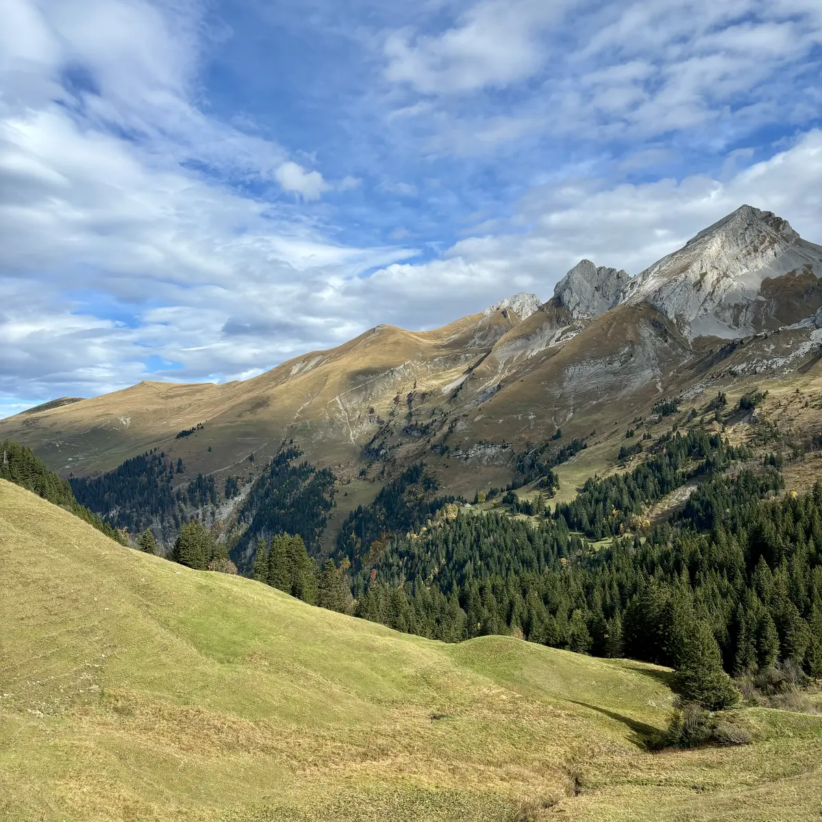
4. Leave Romme and head for the Vormy mountain pasture. The trail offers a magnificent, gentler traverse, with unobstructed views of the Bargy range. After passing the Vormy chalets, the route descends to the village of Le Reposoir (980 m), nestled in the hollow of the mountain cirque, where you'll pass by the famous Chartreuse.
5. From Le Reposoir, the route climbs up the Vallon du Petit Foron. Follow the signs for the Sommier d'Aval farm. The path, wide at first, becomes a mountain pasture path for the final ascent. You climb to the foot of the Pointe Percée to reach the Col des Annes (1721 m), the end of the route.
Hiking boots recommended, don't leave without an IGN map of the area, check the weather forecast before setting off, as conditions can change rapidly at altitude.
Read more